Tuesday September 25 -
 One
of the big differences between Timber Creek and Moraine Park
campgrounds is the wildlife. Over in Timber Creek we had lots
of
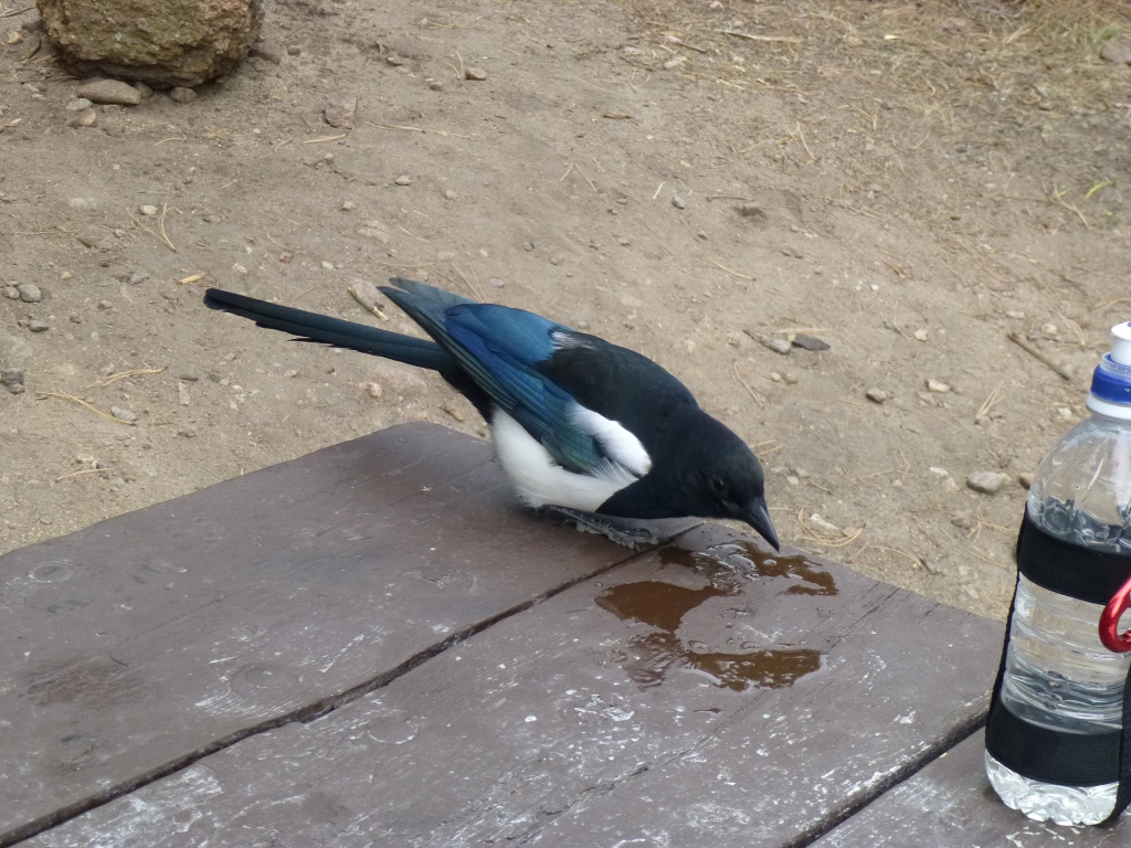
elk; here we have a lot of fairly aggressive magpies. Usually
I
have trouble getting a picture of magpies - around here, they sit and
beg! This one, at the right, is eagerly slurping
plain old water.
This morning,
I poured my oatmeal into a bowl, added some
raisins, and when I
turned my back to get the boiling water, a magpie swooped down and
stole a
raisin! So funny. Of course, I didn't get a picture of
that!
One
of the big differences between Timber Creek and Moraine Park
campgrounds is the wildlife. Over in Timber Creek we had lots
of
elk; here we have a lot of fairly aggressive magpies. Usually
I
have trouble getting a picture of magpies - around here, they sit and
beg! This one, at the right, is eagerly slurping
plain old water.
This morning,
I poured my oatmeal into a bowl, added some
raisins, and when I
turned my back to get the boiling water, a magpie swooped down and
stole a
raisin! So funny. Of course, I didn't get a picture of
that!
 But we managed to have breakfast and
set off
around 9 AM (early for us - but then it helps when it's above freezing
when we get up). The
weather report for the day wasn't very promising (70% chance of rain)
so we decided to do some short things this morning (so as not to be too
far away from shelter at any given time) and then drive up Old Falls
Road: the one way dirt road that runs from Endovalley to the Alpine
Visitor Center.
But we managed to have breakfast and
set off
around 9 AM (early for us - but then it helps when it's above freezing
when we get up). The
weather report for the day wasn't very promising (70% chance of rain)
so we decided to do some short things this morning (so as not to be too
far away from shelter at any given time) and then drive up Old Falls
Road: the one way dirt road that runs from Endovalley to the Alpine
Visitor Center.

We
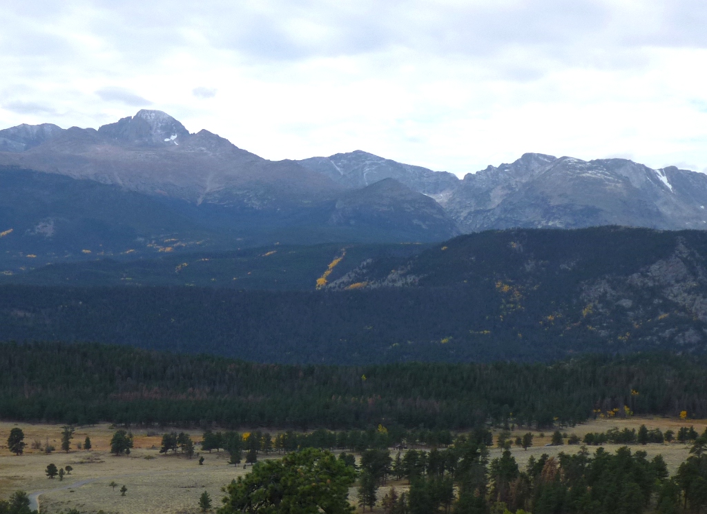
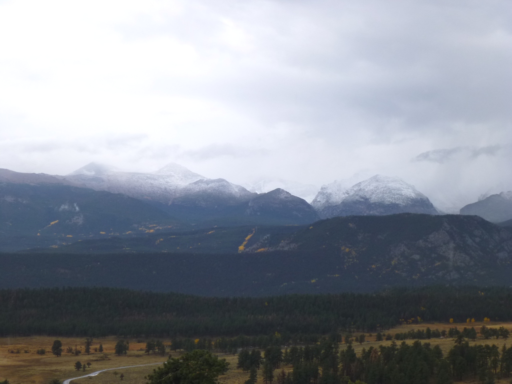
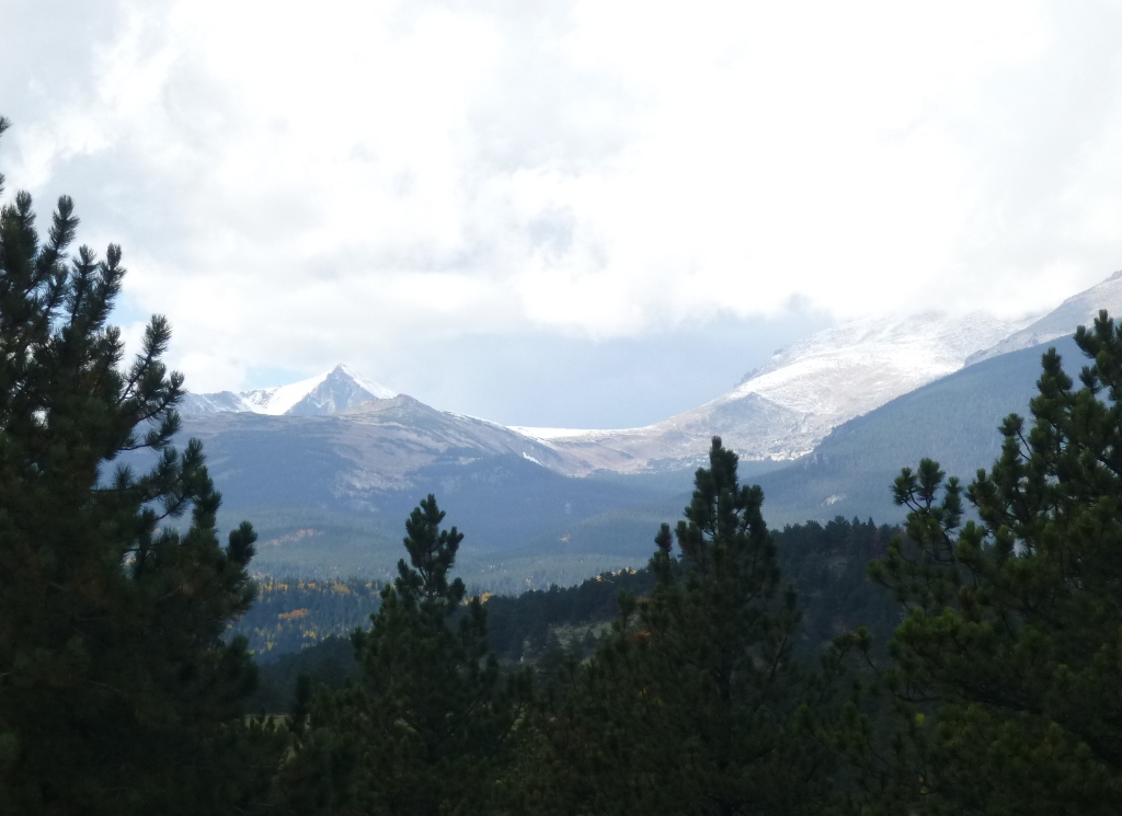
started off towards the Alluvial Fan, stopping at a Long's Peak
Viewpoint to take the picture at the left. It will be
important
later!
We
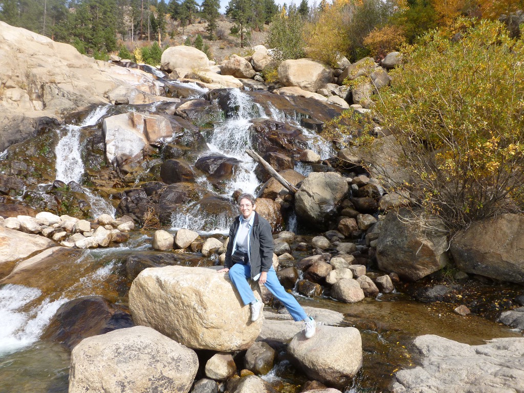
had a good time climbing on the
rocks at the Alluvial Fan and took loads of pictures.
In 1982, Lawn Lake broke out of its banks and a
sudden,
severe flash flood came pouring down. Rocks, both big and
small,
came along with it. Now it is a beautiful waterfall (at
right). At the left I've climbed out to the middle to get
better pictures!
I
was so hypnotized by the Falls that I also took a short video (I keep
forgetting that I can do that), linked below. Then we
drove down to Endovalley picnic area
and went in search of what is informally known as “Thousand Falls.”
I saw the falls indicated on a park map back in 1999
and decided we should find it - instead we ended
up clinging to the side of a cliff!

This
time we had some vague instructions (from Lisa Foster’s Hiking book)
plus
a compass, and that helped.
There
really isn’t a trail but there is, what Lisa calls, "an old
fisherman's path" to get started. We then were to
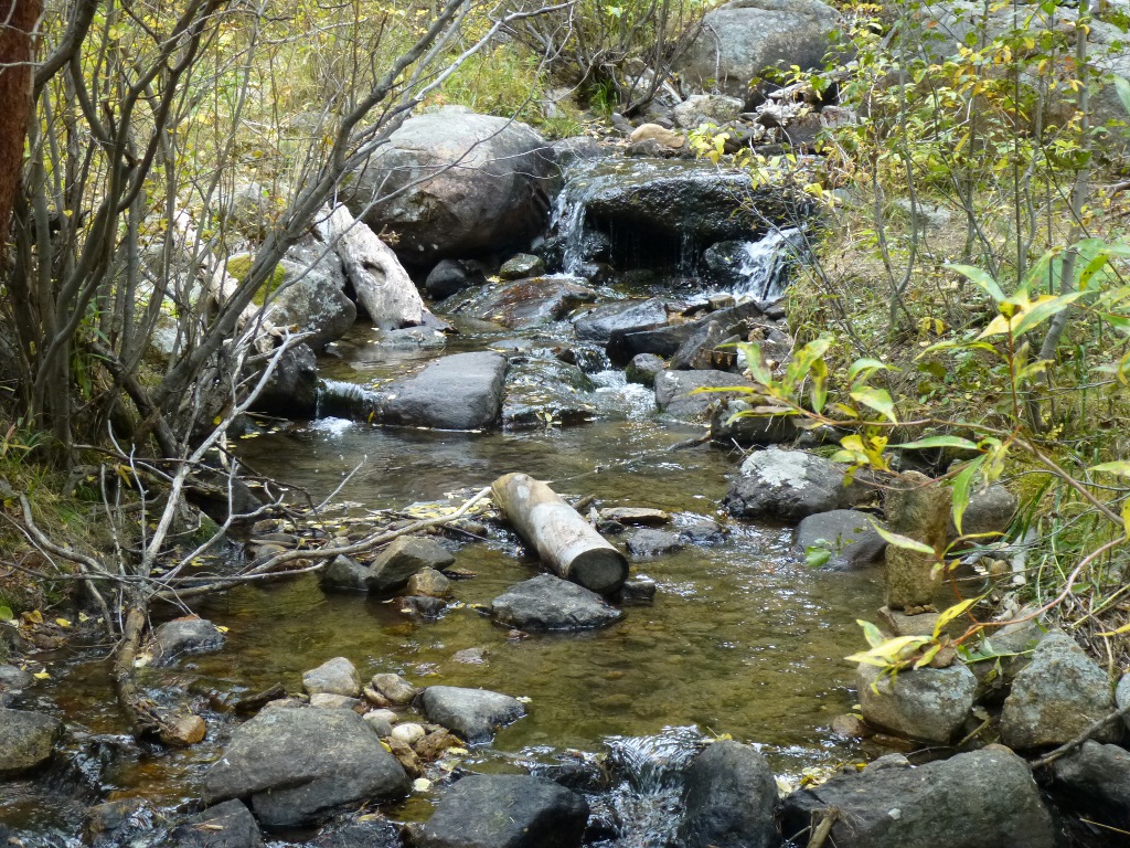
follow Fall River (at left) west to the point where Sundance Creek
joins it on the south. Then
you have to cross the
river over rocks or fallen logs (we did some of each) and bushwhack up
the
Sundance Creek until you find the falls.
I now totally understand how we ended up on the side of a cliff the
last time!
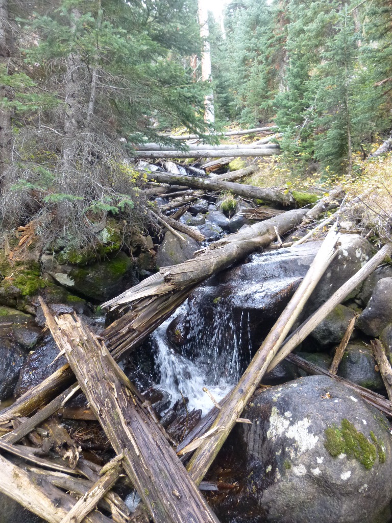
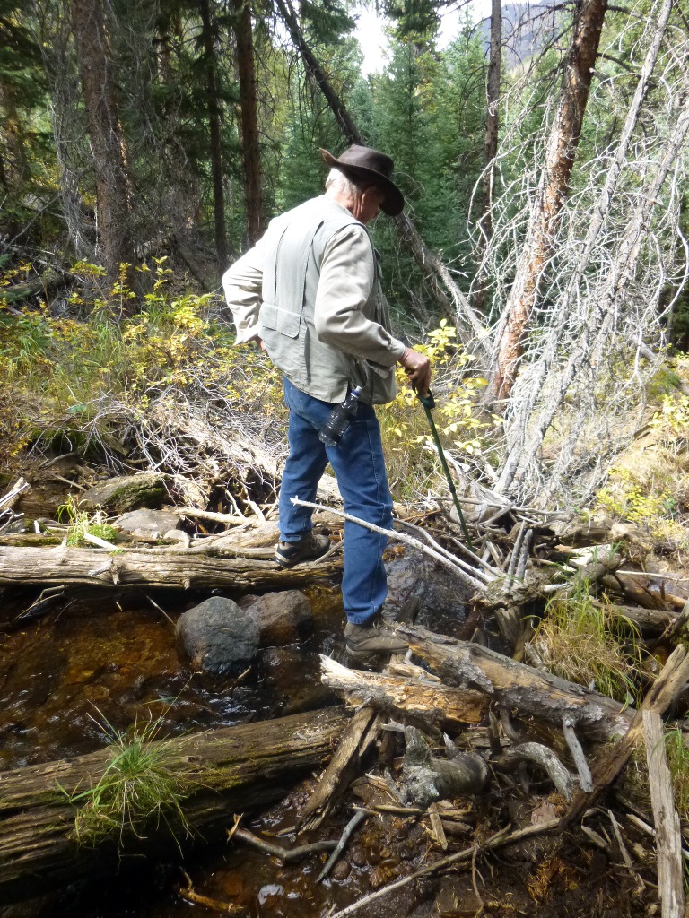
But this time we found the right place
- it is really a series of small cascades rather
than a "falls." Because of the heavy underbrush and many
downed logs, you can only see a few of these cascades at a time - we
found probably 10 of them (a few pictured at left) and John had a great
time scouting the creek for
driftwood and rocks (pictured at right). That was
rather an adventure since we were blazing the
trail as we went along and it involved river crossing and rock
climbing. But we got back safely, then just as we got our lunches
made, it started
to rain so we grabbed the food and jumped back into the car.
We ate lunch in the vehicle and by then it
was
just sprinkling off and on so we continued on with our plan and
started up
Old Falls Road.
 Since this is a one way road, once you start up you are committed to go
the whole 9 miles to the Visitor's Center - that's from roughly 8,000 feet altitude
up to
12,000 feet.
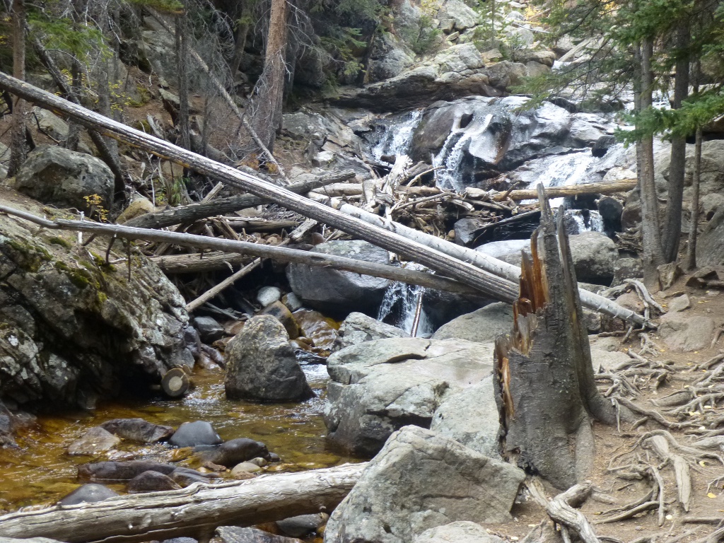
We stopped at the lower Chasm
Falls Trailhead (we couldn't hike it because the top part was
closed for reconstruction) and took a few pictures (left),
climbed a
bit.
Since this is a one way road, once you start up you are committed to go
the whole 9 miles to the Visitor's Center - that's from roughly 8,000 feet altitude
up to
12,000 feet.
We stopped at the lower Chasm
Falls Trailhead (we couldn't hike it because the top part was
closed for reconstruction) and took a few pictures (left),
climbed a
bit. 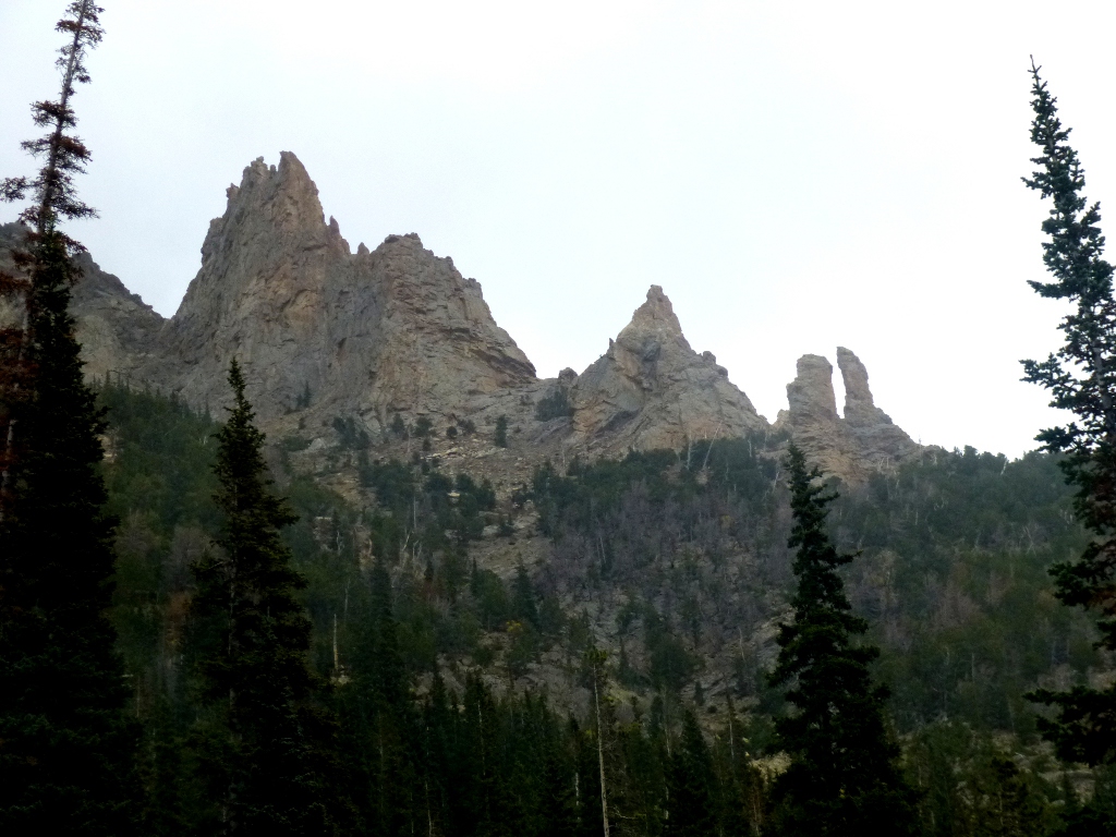 It
wasn’t even
raining at that
point and the scenery was interesting (right).
It
wasn’t even
raining at that
point and the scenery was interesting (right).
When we got
about 4 miles up the road, however
we started driving through a cloud. We had SEEN the tops of the
mountains clouded over
as we drove around
the park earlier. But
now we got right
into it. The speed
limit was 20 mph and
mostly I did 10-15. It
was amazing to us
how many other cars were doing this old, narrow, lots of switchbacks
road - of course none of us had known that the visibility would
disappear half way up!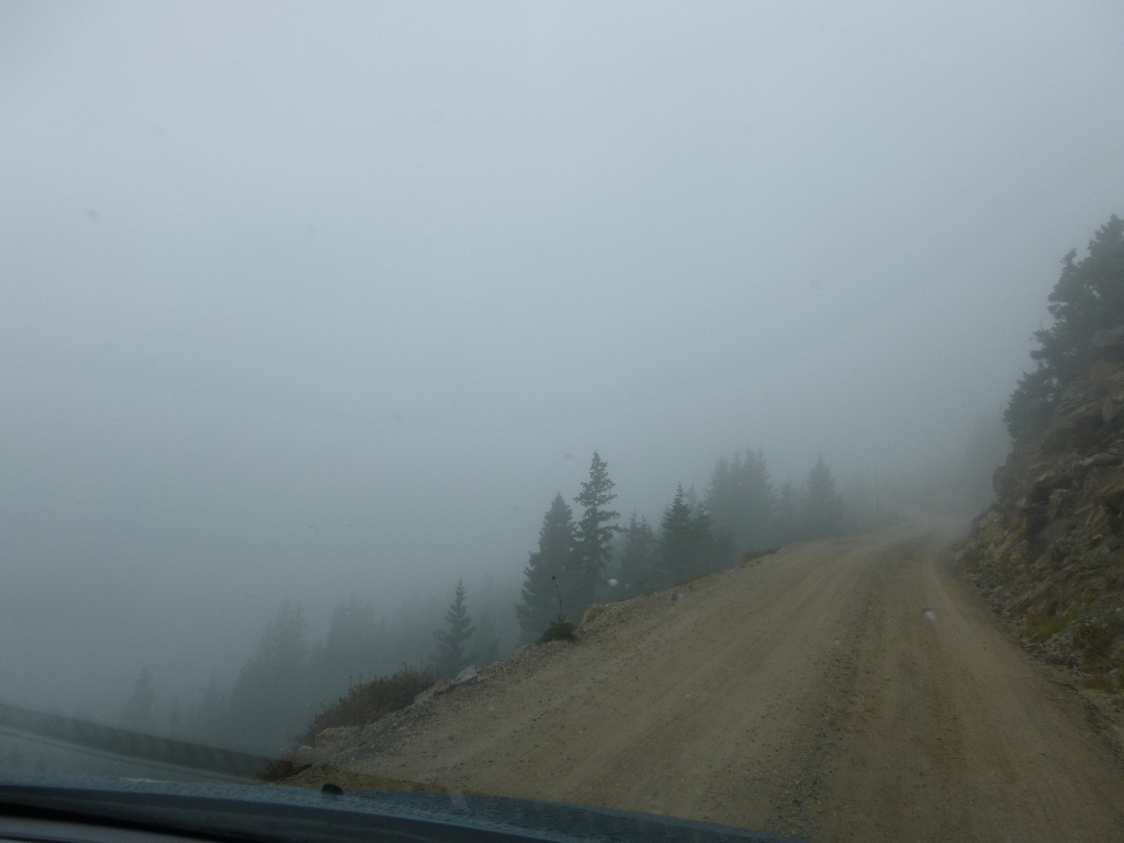 I
could see okay for about 20 feet ahead which,
since it was 1-way, was enough as long as I could make the turns. Next,
around 7 miles up, it
started to
snow! When we got
to the end at the
Alpine Visitor Center, it was coming down pretty steadily.
And the
parking lot was jammed - it seemed that either nobody was expecting it
or they didn’t care.
I
could see okay for about 20 feet ahead which,
since it was 1-way, was enough as long as I could make the turns. Next,
around 7 miles up, it
started to
snow! When we got
to the end at the
Alpine Visitor Center, it was coming down pretty steadily.
And the
parking lot was jammed - it seemed that either nobody was expecting it
or they didn’t care.
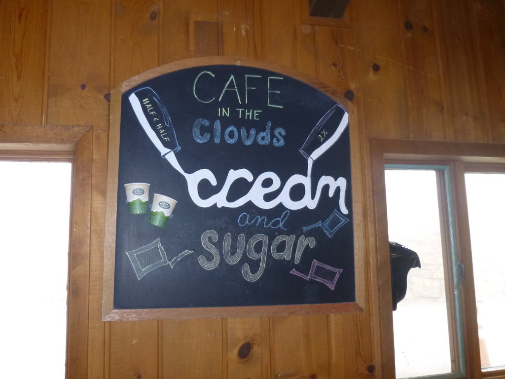 When
we stopped for cookies and coffee at the snack bar, the sign made me
laugh out loud! You can see in the picture at the right that
nothing is visible out the windows - we really were in the clouds!
When
we stopped for cookies and coffee at the snack bar, the sign made me
laugh out loud! You can see in the picture at the right that
nothing is visible out the windows - we really were in the clouds!
After a short break, we started
back down via Trail Ridge Road.
This was somewhat better because it was paved and there were lines on
the road! Mostly we knew the stops only because
we had
been over it before – you still couldn’t see anything except
cloud
on either
side of the road. Once
in a while it
would clear up a bit and
the snow began to change over to rain.
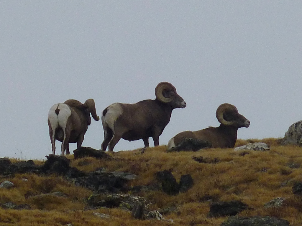 When
we got
to Rock Cut we saw a
whole bunch of cars, which is usually a signal of some wildlife and,
sure
enough,
there were some big horn sheep hanging around on the cliff. And the cloud had
conveniently lifted
enough to see
them, so we grabbed
cameras and played
tourist for a bit. As
we walked back to
the car we also saw some pikas, though they ducked into their rocks too
quickly
to get pictures.
When
we got
to Rock Cut we saw a
whole bunch of cars, which is usually a signal of some wildlife and,
sure
enough,
there were some big horn sheep hanging around on the cliff. And the cloud had
conveniently lifted
enough to see
them, so we grabbed
cameras and played
tourist for a bit. As
we walked back to
the car we also saw some pikas, though they ducked into their rocks too
quickly
to get pictures.
I had wanted to stop at Many
Parks Curve to get a picture of
the Alluvial Fan from across the park. When the sun is out it
is
a stunning picture, but today it was so washed out it's not worth
sharing. Somewhere
between that curve
and where the road splits, some
mule deer sauntered across the road.
 Nobody was behind me so I
stopped and got a few
pictures of them but they aren't really worth including either.
(They are in the "pictures only" section if anybody
wants to see "it all.") Finally,
as we headed back to the campground
after the highways split, we saw the mountain tops we had seen this
morning –
and they were all snowy! It’s
really
true that weather here can change in just a few minutes. Naturally we had to take
a picture of that,
too - to compare it to the one we took about 6 hours earlier!
Nobody was behind me so I
stopped and got a few
pictures of them but they aren't really worth including either.
(They are in the "pictures only" section if anybody
wants to see "it all.") Finally,
as we headed back to the campground
after the highways split, we saw the mountain tops we had seen this
morning –
and they were all snowy! It’s
really
true that weather here can change in just a few minutes. Naturally we had to take
a picture of that,
too - to compare it to the one we took about 6 hours earlier!
Back at
camp it had stopped
raining completely - while it was cool, the temperature was well above
freeing down this
low so there was no snow. We
put up the screen house quickly while we could in case it started up
again!
Pasta is on tonight’s menu and that would take the
longest to cook so I
went ahead and boiled the pasta right away. Then we had time
to
read and clean up and reflect on the day's adventures.
Wed September 26 –
 Not
a good night last night. The rain stopped long
enough for supper and then
poured. All night. And I had bad intestinal
issues (enough said) from about 3:30 AM
on. In the rain. In the cold.
Not
a good night last night. The rain stopped long
enough for supper and then
poured. All night. And I had bad intestinal
issues (enough said) from about 3:30 AM
on. In the rain. In the cold.  Fortunately
I carry around all sorts of emergency medications and I had it slowed
by the time the rain stopped about 8 AM. I hate to
pack up a soaking wet tent but we didn't have a lot of choice
today. We stopped at the Donut Haus to get some breakfast for
John; went to Safeway to get ice and a salad
lunch for John, then filled up the gas tank with 10 cents off
per
gallon (redeeming our Safeway Club points) and headed south for Central
City.
Fortunately
I carry around all sorts of emergency medications and I had it slowed
by the time the rain stopped about 8 AM. I hate to
pack up a soaking wet tent but we didn't have a lot of choice
today. We stopped at the Donut Haus to get some breakfast for
John; went to Safeway to get ice and a salad
lunch for John, then filled up the gas tank with 10 cents off
per
gallon (redeeming our Safeway Club points) and headed south for Central
City.
Our
plan was to hike in the Brainard Lake Recreation area tomorrow and
perhaps Friday, too.
About 10 years ago we did the Lake Isabelle Trail there and
we both
remember really enjoying it and being the only people who went on to
the glacier where we had a delightful lunch. So,
before we left the motel in Estes Park, I scouted the
internet for a place to stay near there. The best deal that
popped up was a 2-night midweek special at the
Reserve Casino Hotel in Central City. That's still about an
hour from Brainard Lake but we
grabbed it anyway. So that's why our destination today is
Central City! Before we left Estes Park, we bought tickets
for a community theater play Friday night so we also made a reservation
to go back to the America's Best Value motel for that final night.
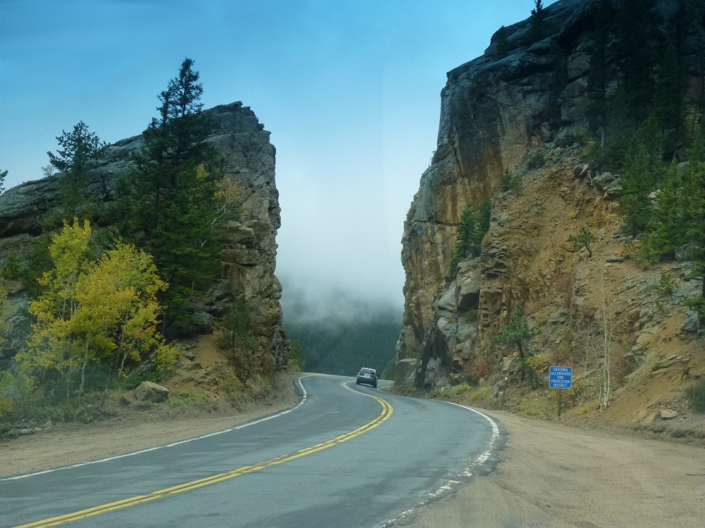
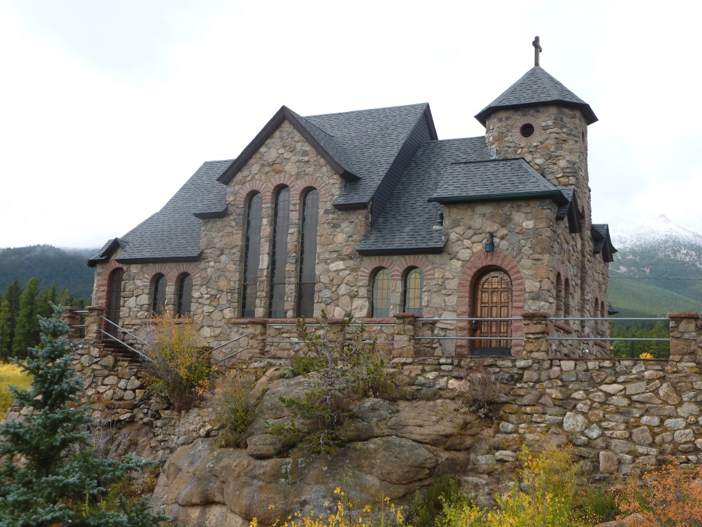
 We've
gone by the rock cut (above left) on Highway 7 several times but this
is the last time going in this direction so I stopped to take a picture
of it! John also stopped and got some better pictures of the
Chapel at St. Malo (above on the right). We
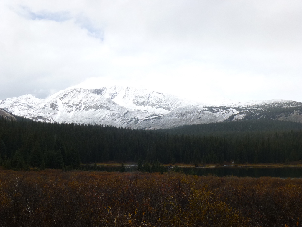
stopped at the Brainard Recreation area to scope it out and see if it
was good for hiking tomorrow - we found it quite snowy but took this
lovely picture of Brainard
Lake and Mount Audubon. We
saw a couple of hikers, with a malamute, coming
off the Long Lake trail and asked them how it was – they said there was
about
2” of snow around Long Lake (much lower altitude than Lake Isabelle) in
numerous places and it was pretty slippery but that once it warms up
it’ll melt and dry out pretty quickly.
We've
gone by the rock cut (above left) on Highway 7 several times but this
is the last time going in this direction so I stopped to take a picture
of it! John also stopped and got some better pictures of the
Chapel at St. Malo (above on the right). We
stopped at the Brainard Recreation area to scope it out and see if it
was good for hiking tomorrow - we found it quite snowy but took this
lovely picture of Brainard
Lake and Mount Audubon. We
saw a couple of hikers, with a malamute, coming
off the Long Lake trail and asked them how it was – they said there was
about
2” of snow around Long Lake (much lower altitude than Lake Isabelle) in
numerous places and it was pretty slippery but that once it warms up
it’ll melt and dry out pretty quickly.
 We
also passed Golden Gate Canyon state park on the way so I looked
that up when I got to the hotel (and its excellent WiFi) and now our
current plan is to go up there tomorrow.
We can drive around and see numerous views;
they also have a bunch of trails from very short to very long. It’s
much closer to Central City. Hopefully
the snow around the Brainard Lake Rec area will be somewhat melted by
Friday; we'll try
to get up early and be off to do Lake Isabelle on the way back up to
Estes.
We
also passed Golden Gate Canyon state park on the way so I looked
that up when I got to the hotel (and its excellent WiFi) and now our
current plan is to go up there tomorrow.
We can drive around and see numerous views;
they also have a bunch of trails from very short to very long. It’s
much closer to Central City. Hopefully
the snow around the Brainard Lake Rec area will be somewhat melted by
Friday; we'll try
to get up early and be off to do Lake Isabelle on the way back up to
Estes.
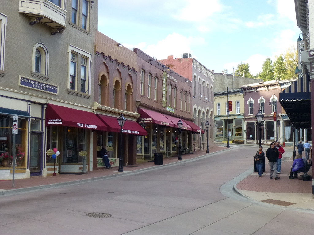
 Central
City (right) has tried to keep the "old timey" feel of the town, though
now the major industry is gambling. The Reserve
Casino Hotel is definitely up a
notch from the regular "motel standard" that we usually use, but not
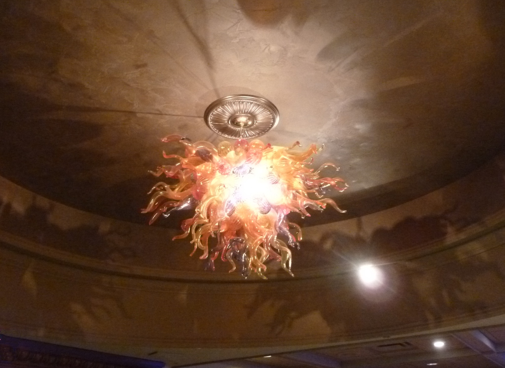
what I'd call luxurious. There is a very cool chandelier (picture left)
in the lobby, however, and the food is very good!
We went to the Ardore Restaurant tonight and
enjoyed it very much.
I had salmon with avocado and cream cheese
topping and John had
meatloaf with merlot sauce plus blueberry pie a la mode – both
were
excellent, as was the service. They
also have a "Market Street" which is more like a food court (and where
the breakfast buffet is held)
for those who want to grab food and get right back on the gaming floor. Tonight we had a flat screen TV so were
able to hook up the computer and watch a movie, then we went to bed
early. I had some sleep to catch up on!
Central
City (right) has tried to keep the "old timey" feel of the town, though
now the major industry is gambling. The Reserve
Casino Hotel is definitely up a
notch from the regular "motel standard" that we usually use, but not
what I'd call luxurious. There is a very cool chandelier (picture left)
in the lobby, however, and the food is very good!
We went to the Ardore Restaurant tonight and
enjoyed it very much.
I had salmon with avocado and cream cheese
topping and John had
meatloaf with merlot sauce plus blueberry pie a la mode – both
were
excellent, as was the service. They
also have a "Market Street" which is more like a food court (and where
the breakfast buffet is held)
for those who want to grab food and get right back on the gaming floor. Tonight we had a flat screen TV so were
able to hook up the computer and watch a movie, then we went to bed
early. I had some sleep to catch up on!
Thursday September 27
 We had
breakfast downstairs at the $3.99 buffet – there was a huge variety of
foods and it was all very good!
Then we headed off to Golden Gate Canyon State Park. We just happened to notice a sign
yesterday along the highway pointing to its entrance - what a serendipitous find! We stopped at the Visitor Center first,
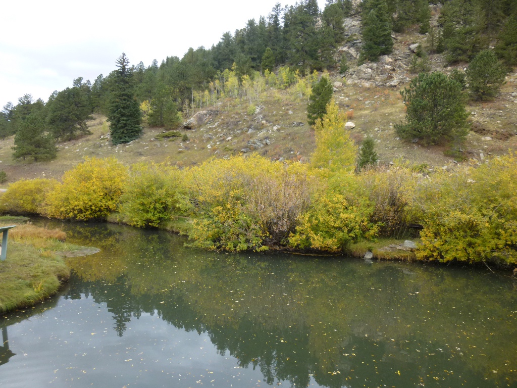
admired the trout pond (picture at right), got a trail map, a
day pass ($7) and a tip on the Raccoon Trail - the loop trail we were most
interested
in hiking today. She
suggested we do it clockwise –
start by heading left from Panorama Point -
and that was excellent advice! The uphill
parts would have been much steeper in the other direction.
We had
breakfast downstairs at the $3.99 buffet – there was a huge variety of
foods and it was all very good!
Then we headed off to Golden Gate Canyon State Park. We just happened to notice a sign
yesterday along the highway pointing to its entrance - what a serendipitous find! We stopped at the Visitor Center first,
admired the trout pond (picture at right), got a trail map, a
day pass ($7) and a tip on the Raccoon Trail - the loop trail we were most
interested
in hiking today. She
suggested we do it clockwise –
start by heading left from Panorama Point -
and that was excellent advice! The uphill
parts would have been much steeper in the other direction.
 The
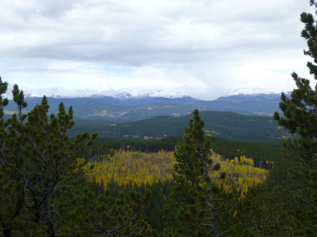
drive up to Panorama Point was very scenic, but nothing compared to the
views at the Point itself. I think it is popular for weddings
and I see why, starting with the picture at the left! We
heard thunder and saw the storm clouds, but it stayed
blue where we were. It
was a delightful 2.5
mile, 2 hour hike that brought us back to the same parking lot. Beautiful aspens,
firs, spruce and pine. We
saw/heard a
raven soaring overhead "barking." We saw
another sort of junco, black squirrel, Stellars Jay; I'm pretty sure we heard a Kingfisher but
didn’t see it. We
saw some sort of raptor but even with a picture I can't identify it.
We watched a glider or
small plane soaring around overhead. The
scenery was wonderful! Gorgeous
colors,
snow capped mountains in the distance; interesting formations nearby.
Truly "awesome autumn" in Colorado. John referred
to this one as our "Zen hike" and perhaps you can see why from the
pictures below, taken along the trail.
The
drive up to Panorama Point was very scenic, but nothing compared to the
views at the Point itself. I think it is popular for weddings
and I see why, starting with the picture at the left! We
heard thunder and saw the storm clouds, but it stayed
blue where we were. It
was a delightful 2.5
mile, 2 hour hike that brought us back to the same parking lot. Beautiful aspens,
firs, spruce and pine. We
saw/heard a
raven soaring overhead "barking." We saw
another sort of junco, black squirrel, Stellars Jay; I'm pretty sure we heard a Kingfisher but
didn’t see it. We
saw some sort of raptor but even with a picture I can't identify it.
We watched a glider or
small plane soaring around overhead. The
scenery was wonderful! Gorgeous
colors,
snow capped mountains in the distance; interesting formations nearby.
Truly "awesome autumn" in Colorado. John referred
to this one as our "Zen hike" and perhaps you can see why from the
pictures below, taken along the trail.
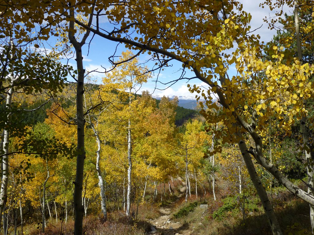
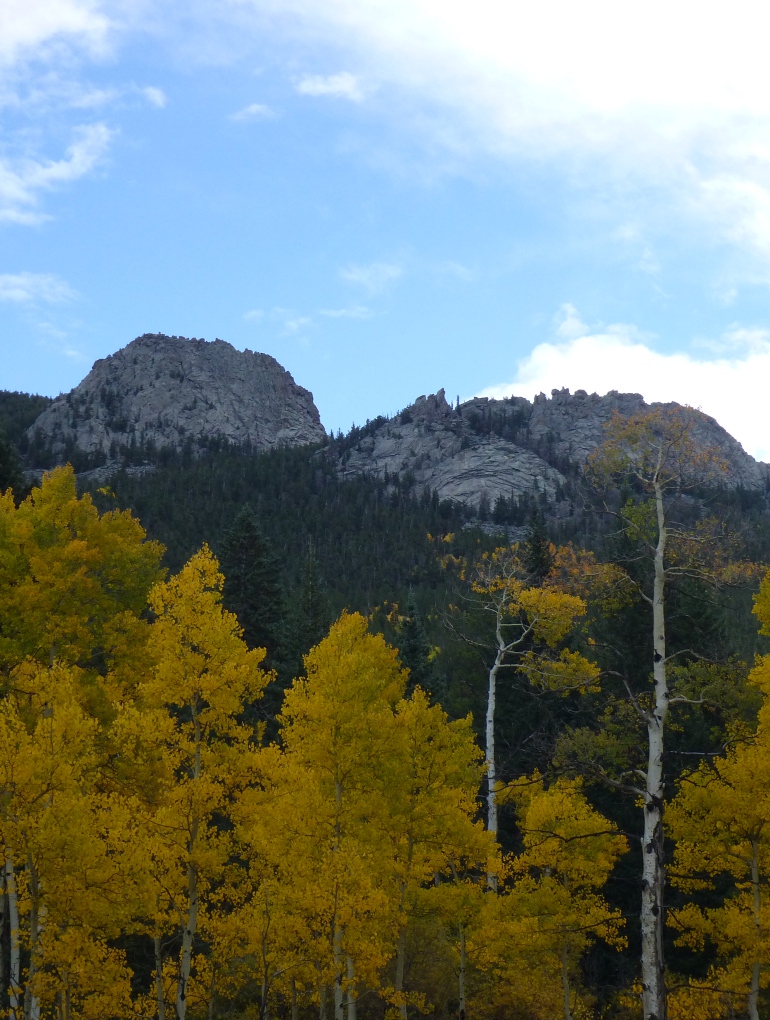

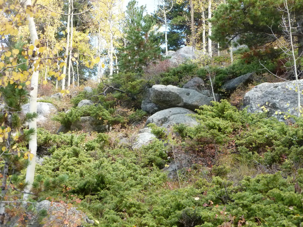
 One more trail picture at the left - you can
see how the surroundings of the trail changed. One of the very nice things about this
particular hike was that the character of the area morphed from aspen
to mountains to greens to rocks. What a variety!
When we got
back to the point it was lunchtime, so we had our picnic
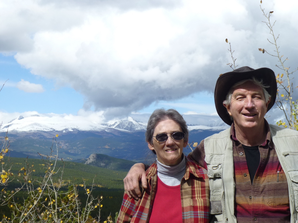
lunch, admired the ubiquitous chipmunks and ground squirrels, posed for a picture with the panorama as a lovely background, then
drove back to the hotel (with one rock hunting stop
along the
way). This
afternoon, I had time to download and sort
pictures, post a selection on Facebook and even had a little time left
to read
before we went to Dostal Alley Brew Pub up the
street for dinner. That was a good food pick, too.
The pizza was great and John enjoyed a sampler of the beers
that are brewed right there.
One more trail picture at the left - you can
see how the surroundings of the trail changed. One of the very nice things about this
particular hike was that the character of the area morphed from aspen
to mountains to greens to rocks. What a variety!
When we got
back to the point it was lunchtime, so we had our picnic
lunch, admired the ubiquitous chipmunks and ground squirrels, posed for a picture with the panorama as a lovely background, then
drove back to the hotel (with one rock hunting stop
along the
way). This
afternoon, I had time to download and sort
pictures, post a selection on Facebook and even had a little time left
to read
before we went to Dostal Alley Brew Pub up the
street for dinner. That was a good food pick, too.
The pizza was great and John enjoyed a sampler of the beers
that are brewed right there.
Friday September 28
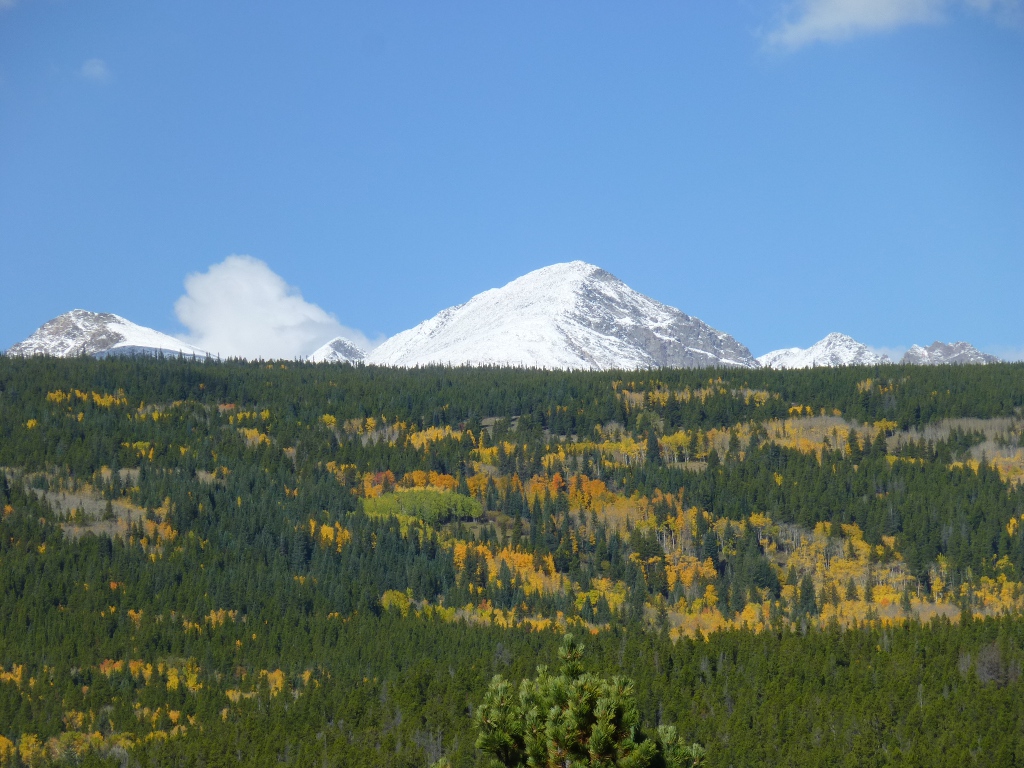 Well, we didn’t get up
early so we didn’t leave until about 9:30, after having the
breakfast buffet and getting a very yummy-looking panini to go for John's lunch. As we were driving up to the recreation area,
we passed a portable highway sign that said something like "Caution!
Do not stop in the roadway." And I thought that was
awfully weird until I went around the curve and almost stopped in the
roadway! The picture at the right should explain it
all.
Well, we didn’t get up
early so we didn’t leave until about 9:30, after having the
breakfast buffet and getting a very yummy-looking panini to go for John's lunch. As we were driving up to the recreation area,
we passed a portable highway sign that said something like "Caution!
Do not stop in the roadway." And I thought that was
awfully weird until I went around the curve and almost stopped in the
roadway! The picture at the right should explain it
all. 
So, between sleeping in a
little and then stopping for pictures, when we got to the Long Lake
trailhead at
about 10:40 AM a car ahead of us was just sliding into the last parking
spot.  We saw a
few cars that had been
ticketed for not having a day-use tag so I figured it wasn't a
good idea to steal a
handicapped
place. The only
overflow
parking was a good half a mile down a hill so we made a quick change of
plans and drove on down to the Mitchell Lake
trailhead
where there was still plenty of room. Though the trailhead is in the Brainard Lake
Recreation
Area, most of the trail itself is in the Indian Peaks Wilderness of the
Arapaho and Roosevelt National Forests.
We saw a
few cars that had been
ticketed for not having a day-use tag so I figured it wasn't a
good idea to steal a
handicapped
place. The only
overflow
parking was a good half a mile down a hill so we made a quick change of
plans and drove on down to the Mitchell Lake
trailhead
where there was still plenty of room. Though the trailhead is in the Brainard Lake
Recreation
Area, most of the trail itself is in the Indian Peaks Wilderness of the
Arapaho and Roosevelt National Forests.
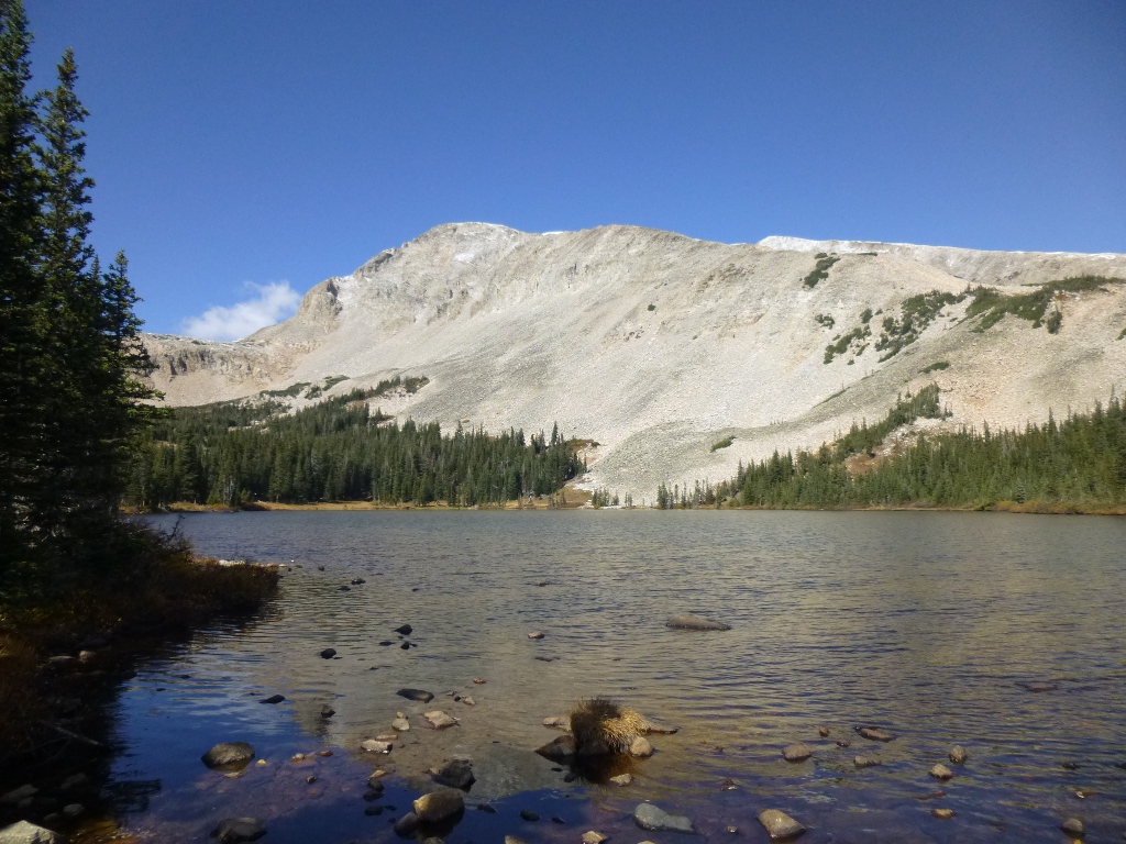
 This
trail goes by Mitchell Lake (left) and then on up to Blue Lake.
We really hadn’t given any thought to how
high up we were – which in hindsight is silly since we drove about 5
miles up hill to get to the trailhead! Turns out the
trailhead was at 10,450 feet and we ended up climbing almost another 1000 feet or
so above
that, which makes this the highest altitude of any of the hikes we did. There was
also still lots of snow
around, though the trails themselves were mostly cleared. It was interesting that
some places that were
icy on our way up were dry after sitting in the sun all morning. Lake Mitchell was only
about a mile and a
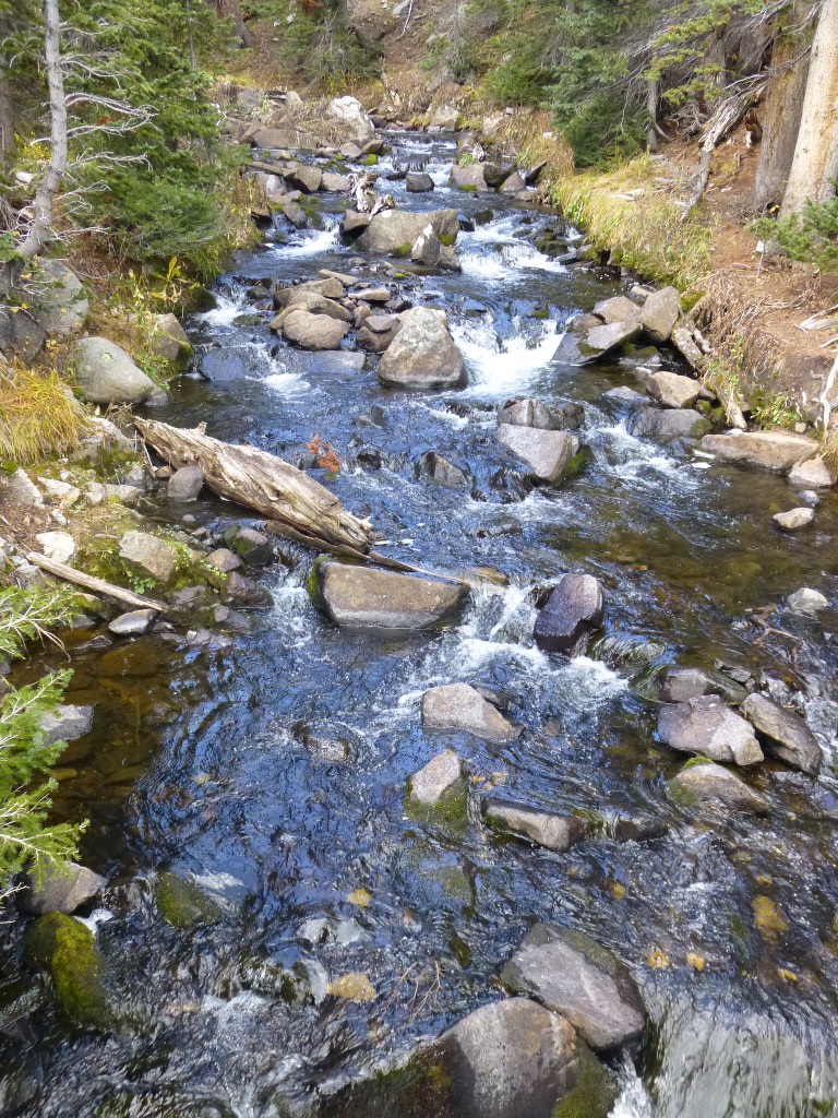
fairly easy 45 minute hike – we crossed 2 streams: Mitchell
Creek at right had a nice cascade.
This
trail goes by Mitchell Lake (left) and then on up to Blue Lake.
We really hadn’t given any thought to how
high up we were – which in hindsight is silly since we drove about 5
miles up hill to get to the trailhead! Turns out the
trailhead was at 10,450 feet and we ended up climbing almost another 1000 feet or
so above
that, which makes this the highest altitude of any of the hikes we did. There was
also still lots of snow
around, though the trails themselves were mostly cleared. It was interesting that
some places that were
icy on our way up were dry after sitting in the sun all morning. Lake Mitchell was only
about a mile and a
fairly easy 45 minute hike – we crossed 2 streams: Mitchell
Creek at right had a nice cascade.
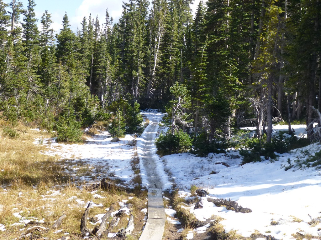
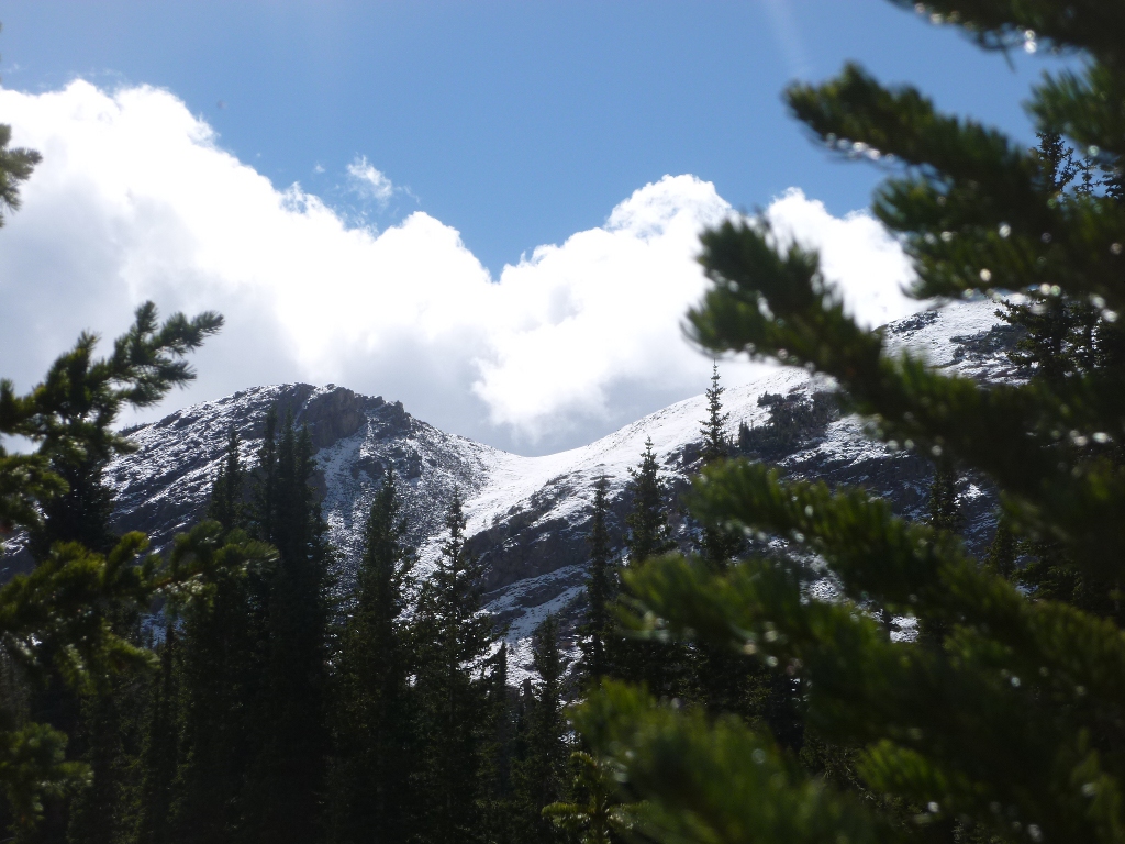
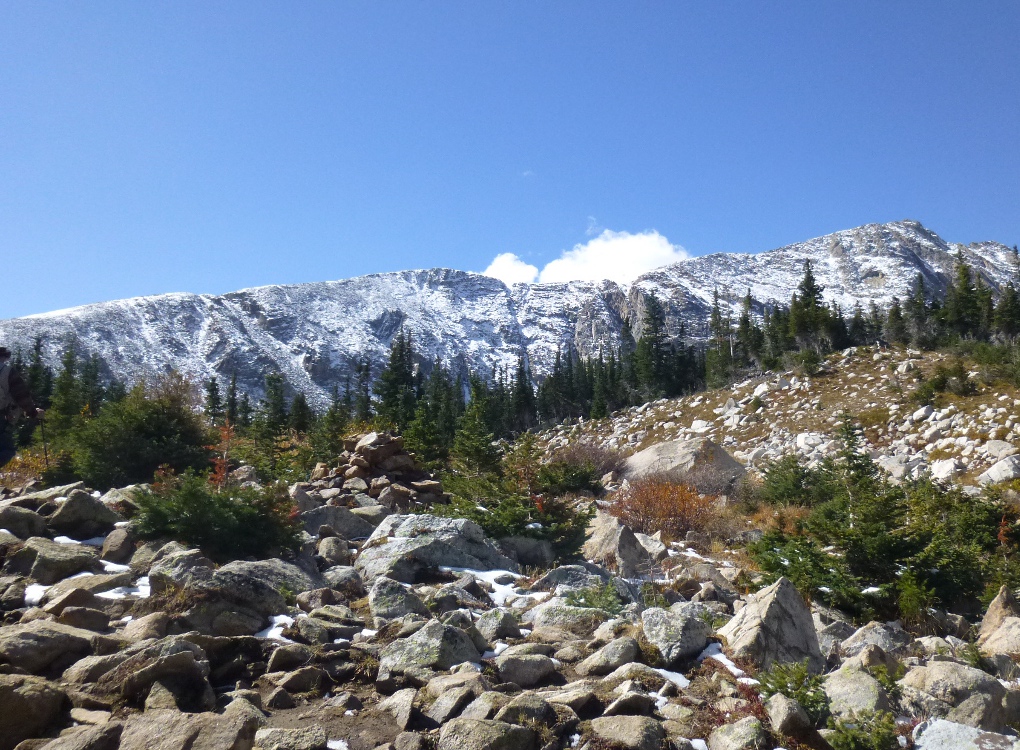
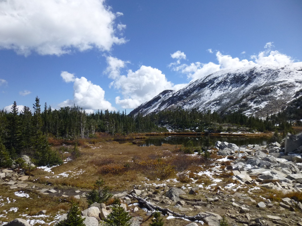
The next mile was MUCH harder
but also beautiful. Very
steep, lots of rocks
to climb, a couple
of streams to cross on logs (admittedly, they were wide logs – but
still logs). Some views below.
 Blue
Lake is 2 miles
from Mitchell
Lake and physically we could
have gone all the way there, but we did
have a time constraint – we needed to get back to Estes Park for dinner
and a
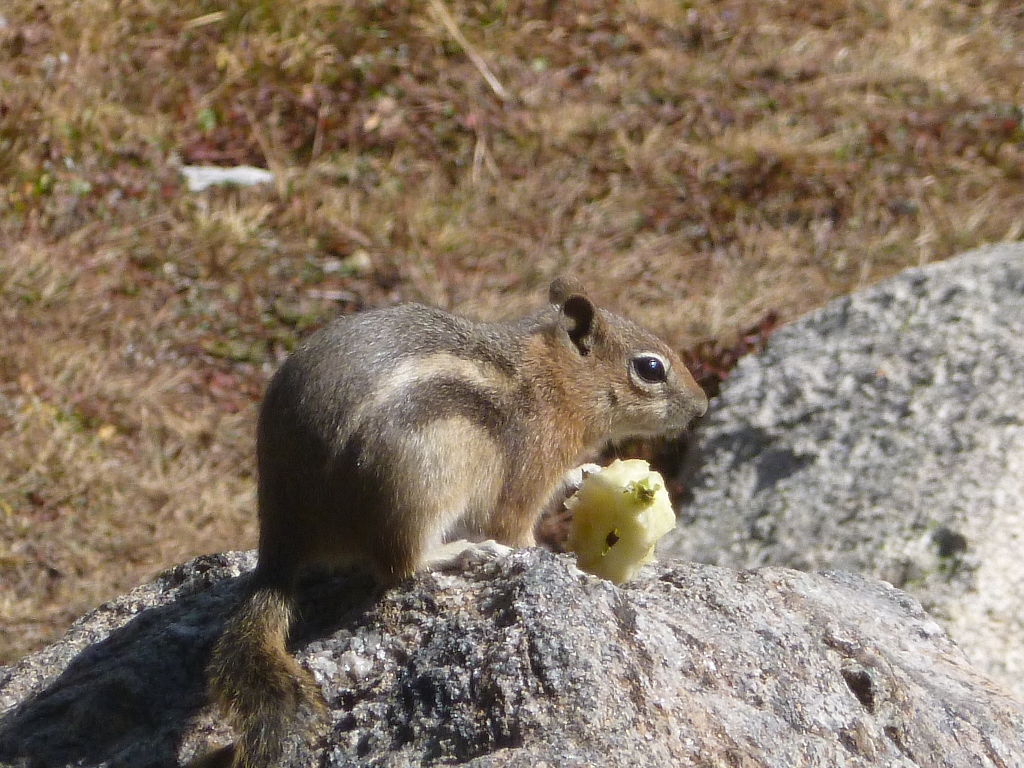
play tonight. So we stopped for lunch at an unnamed (as
far as I can tell) lake
about a mile from Mitchell that was very nice and had lots of
sitting-on rocks (pictured at left) plus the requisite cute ground
squirrels and jays. It
was
very pleasant and we spent about half an
hour sitting in the sun and enjoying the peace.
Blue
Lake is 2 miles
from Mitchell
Lake and physically we could
have gone all the way there, but we did
have a time constraint – we needed to get back to Estes Park for dinner
and a
play tonight. So we stopped for lunch at an unnamed (as
far as I can tell) lake
about a mile from Mitchell that was very nice and had lots of
sitting-on rocks (pictured at left) plus the requisite cute ground
squirrels and jays. It
was
very pleasant and we spent about half an
hour sitting in the sun and enjoying the peace.
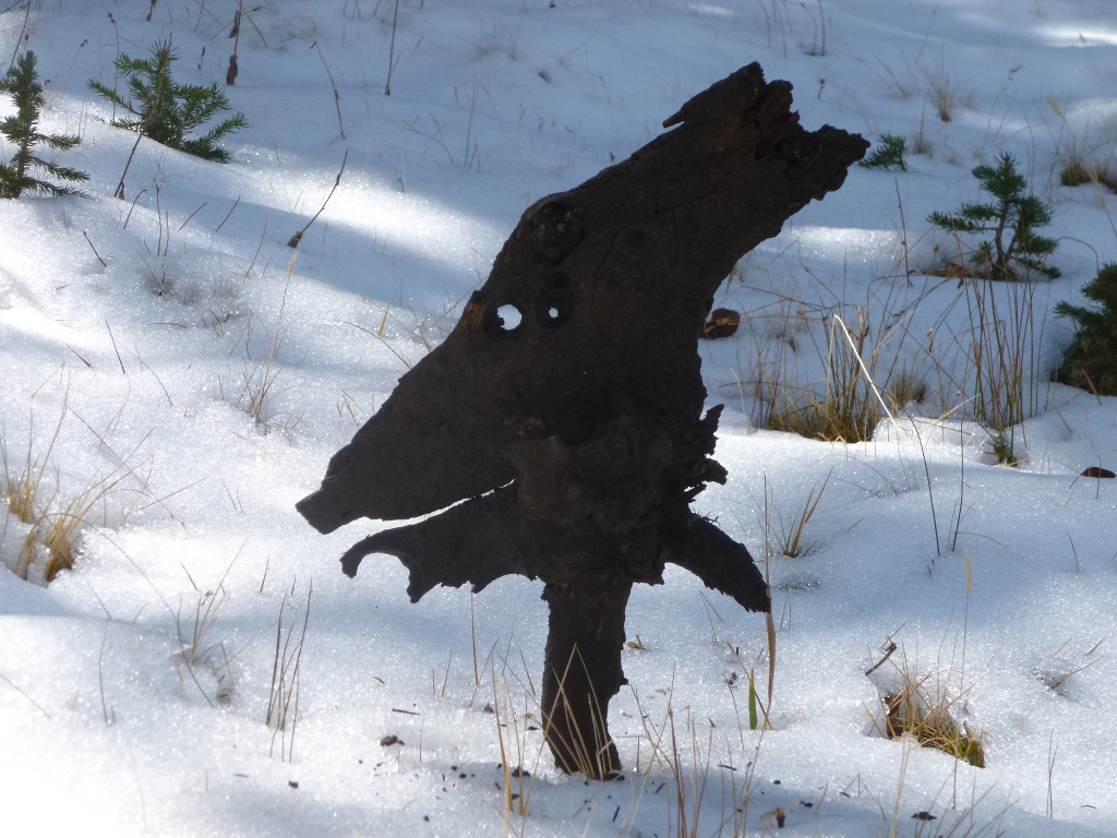
 On the trail back to the
parking lot, John spotted this piece of bark in the snow and had to
get a picture! Then, on the way back
to Estes
Park we stopped at a "scenic overlook" we had passed and ignored
several times. It was indeed very scenic and
captured the general feel of
the trip - a perfect view for my last Colorado picture.
On the trail back to the
parking lot, John spotted this piece of bark in the snow and had to
get a picture! Then, on the way back
to Estes
Park we stopped at a "scenic overlook" we had passed and ignored
several times. It was indeed very scenic and
captured the general feel of
the trip - a perfect view for my last Colorado picture.
We got to the motel around 3:30
PM and so had time to do a batch of laundry and grab
supper at the Grumpy Gringo down the street. The play was in
an auditorium at the YMCA of the Rockies on the other side of town, but
we got there with plenty of time to find the building. The
play we saw was "The Art of Murder" by Joe
DiPietro - he wrote the book for "All Shook Up" which we
enjoyed a lot and that was one of the reasons we were interested in
seeing
it. The production was pretty dismal, however, so we really
couldn't even tell how good (or not) the play was. I suspect
that the quality of the performance was typical of community theater and we
are just very spoiled
here having such excellent directors and performers!
Saturday, Sunday September 29,
30
 In
the morning we headed down Big
Thompson Canyon and went home via Cheyenne to stop at the Sierra
Trading Post Outlet on I-70. Now John is looking for a new
daypack; he got some ideas there but none was exactly what he was
looking for. (He found the perfect one at Target after we got
back home!)
In
the morning we headed down Big
Thompson Canyon and went home via Cheyenne to stop at the Sierra
Trading Post Outlet on I-70. Now John is looking for a new
daypack; he got some ideas there but none was exactly what he was
looking for. (He found the perfect one at Target after we got
back home!)
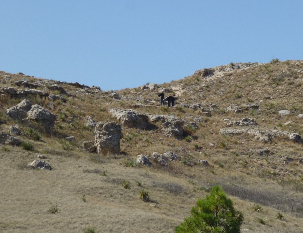
I had to take the picture at
left at a rest stop in Nebraska. It's an extremely flat state
but John was still in "hill climbing" mode so when 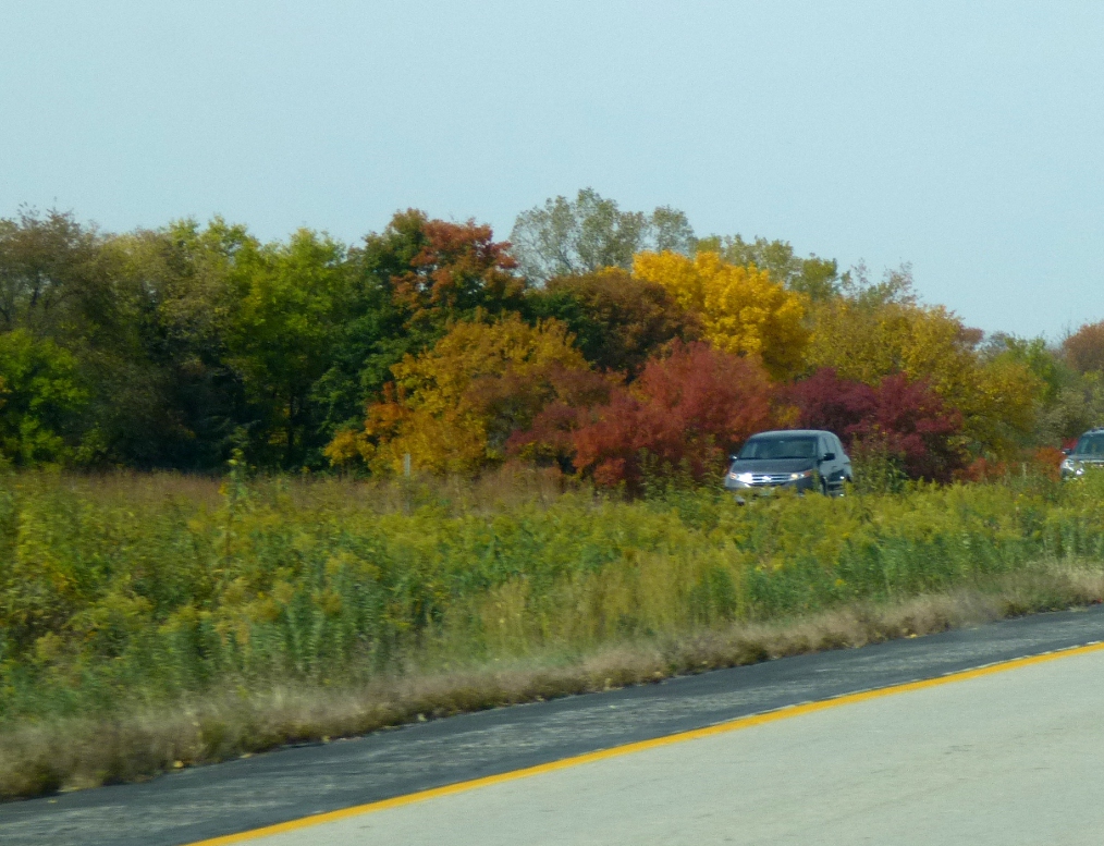 he saw a marker up
on a hill, he just had to run up (yes, really, he ran) and read it. Can
you make him out way up there? It was about geology but there
was also a sign warning about rattle snakes! We stopped for
dinner at the Japanese restaurant we enjoyed so much in Kearney but
then drove on a little further and stopped for the night in Grand
Island (at USA Inns of America - very low cost, right by I-80,
comfortable and clean).
he saw a marker up
on a hill, he just had to run up (yes, really, he ran) and read it. Can
you make him out way up there? It was about geology but there
was also a sign warning about rattle snakes! We stopped for
dinner at the Japanese restaurant we enjoyed so much in Kearney but
then drove on a little further and stopped for the night in Grand
Island (at USA Inns of America - very low cost, right by I-80,
comfortable and clean).
Sunday, coming back into Iowa (right),
I was somewhat sorry the trip was at an end but delighted to see our
own Iowa fall colors, too!