|
Monday July
15 –
Today we headed off to Maine. That wasn't originally on our agenda, as we thought it would take too long; but we have friends who invited us to come visit in Blue Hill and we couldn't resist! We stopped at the Information Center just over the border, near Fryeberg, to get a map and some general information. One of our questions was where was a good place to get some maple syrup - which (coincidentally?) was right nearby - at Weston's Farm just north of Fryeberg. So we made a quick stop there and bought some dark syrup and some snacks. 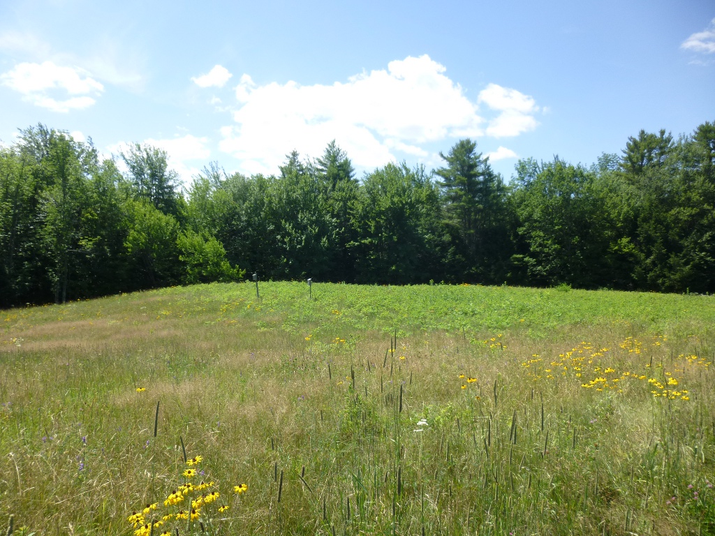 We
had a whole day to use up so I was hunting for a hike that wouldn't be
too far out of the way - I found Rattlesnake Mountain (near Raymond,
ME). It was billed as an "easy hike" and good for children. We
had a whole day to use up so I was hunting for a hike that wouldn't be
too far out of the way - I found Rattlesnake Mountain (near Raymond,
ME). It was billed as an "easy hike" and good for children.
 So
we located the Bri-Mar Trailhead about a mile north of the Crescent Lake
Boat Launch along Route 85. It did indeed start out easy.
A
nice walk across a meadow (left) and then a wide path after
entering the wooded area - but then it got very
steep. VERY
steep. We found a nice view, which was apparently only about
half
a mile up, but it was quite hot and we were exhausted already!
So we
took pictures of the view (right), including Panther Pond, then hiked
back down, feeling rather wimpy since we passed a 6 year old who was
skipping along and didn't seem tired in the least! So
we located the Bri-Mar Trailhead about a mile north of the Crescent Lake
Boat Launch along Route 85. It did indeed start out easy.
A
nice walk across a meadow (left) and then a wide path after
entering the wooded area - but then it got very
steep. VERY
steep. We found a nice view, which was apparently only about
half
a mile up, but it was quite hot and we were exhausted already!
So we
took pictures of the view (right), including Panther Pond, then hiked
back down, feeling rather wimpy since we passed a 6 year old who was
skipping along and didn't seem tired in the least! 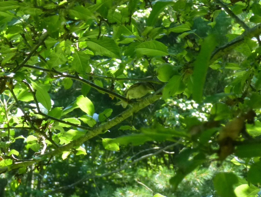 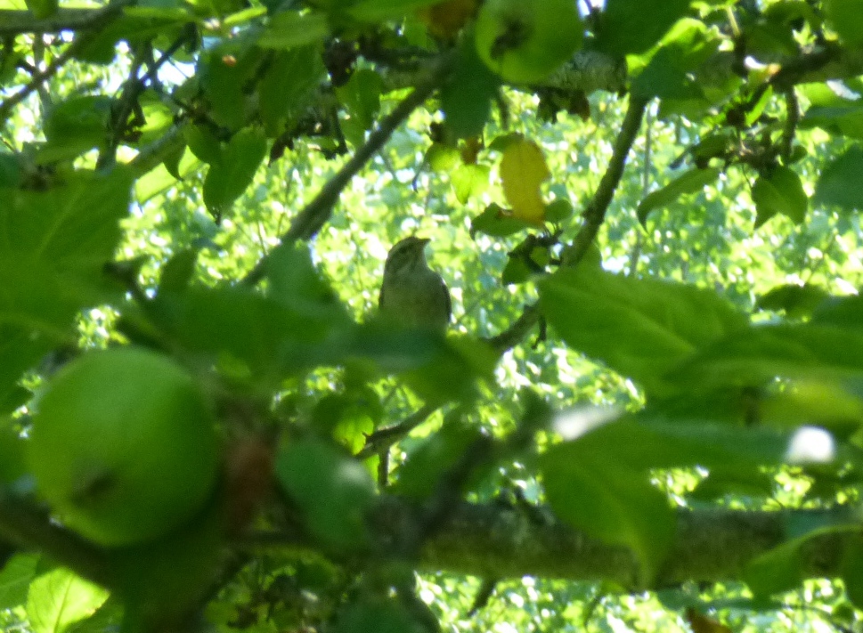 Next
stop was New Gloucester at Pinetree Gardens. This was
not a
store in any real sense, though there is a sign that says "Store."
It’s really a warehouse. But there is an office
there; you
can place an order on site and they will fill it on the spot.
While John was waiting for his seeds, I played hide and seek
with
a charming little bird in an apple tree. I have no idea what
it
was - it looked a lot like a leaf. Next
stop was New Gloucester at Pinetree Gardens. This was
not a
store in any real sense, though there is a sign that says "Store."
It’s really a warehouse. But there is an office
there; you
can place an order on site and they will fill it on the spot.
While John was waiting for his seeds, I played hide and seek
with
a charming little bird in an apple tree. I have no idea what
it
was - it looked a lot like a leaf.  You have to look closely (maybe click on the pictures to
enlarge
them) to find it! I took dozens of pictures and these are the
clearest ones. I am easily entertained.
You have to look closely (maybe click on the pictures to
enlarge
them) to find it! I took dozens of pictures and these are the
clearest ones. I am easily entertained.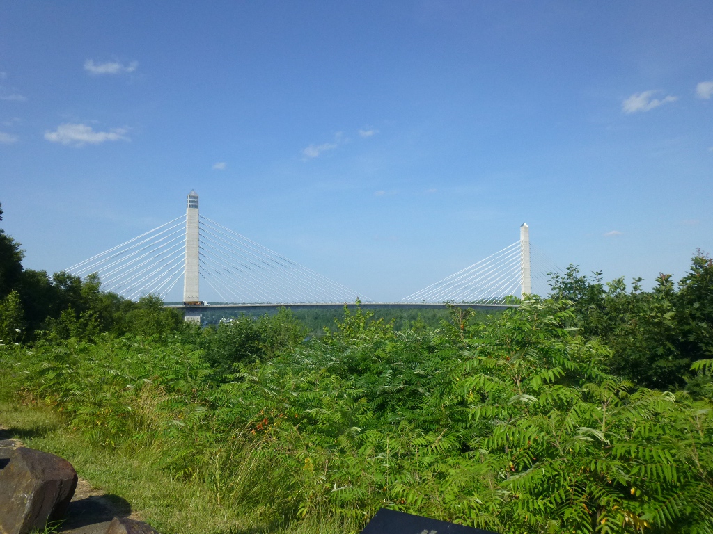  As
we neared the coast, we drove over the Penobscot Narrows
Bridge
- a 2120 foot suspension bridge over (duh) the Penobscot River.
The left tower in the picture is a 420 foot observatory (the tallest
public bridge observatory in the world). We stopped at a pull
off
and took pictures of the bridge and also the opposite direction,
where
the river opens into Belfast Bay (right), but we didn't go up
the
tower on this trip. As
we neared the coast, we drove over the Penobscot Narrows
Bridge
- a 2120 foot suspension bridge over (duh) the Penobscot River.
The left tower in the picture is a 420 foot observatory (the tallest
public bridge observatory in the world). We stopped at a pull
off
and took pictures of the bridge and also the opposite direction,
where
the river opens into Belfast Bay (right), but we didn't go up
the
tower on this trip. 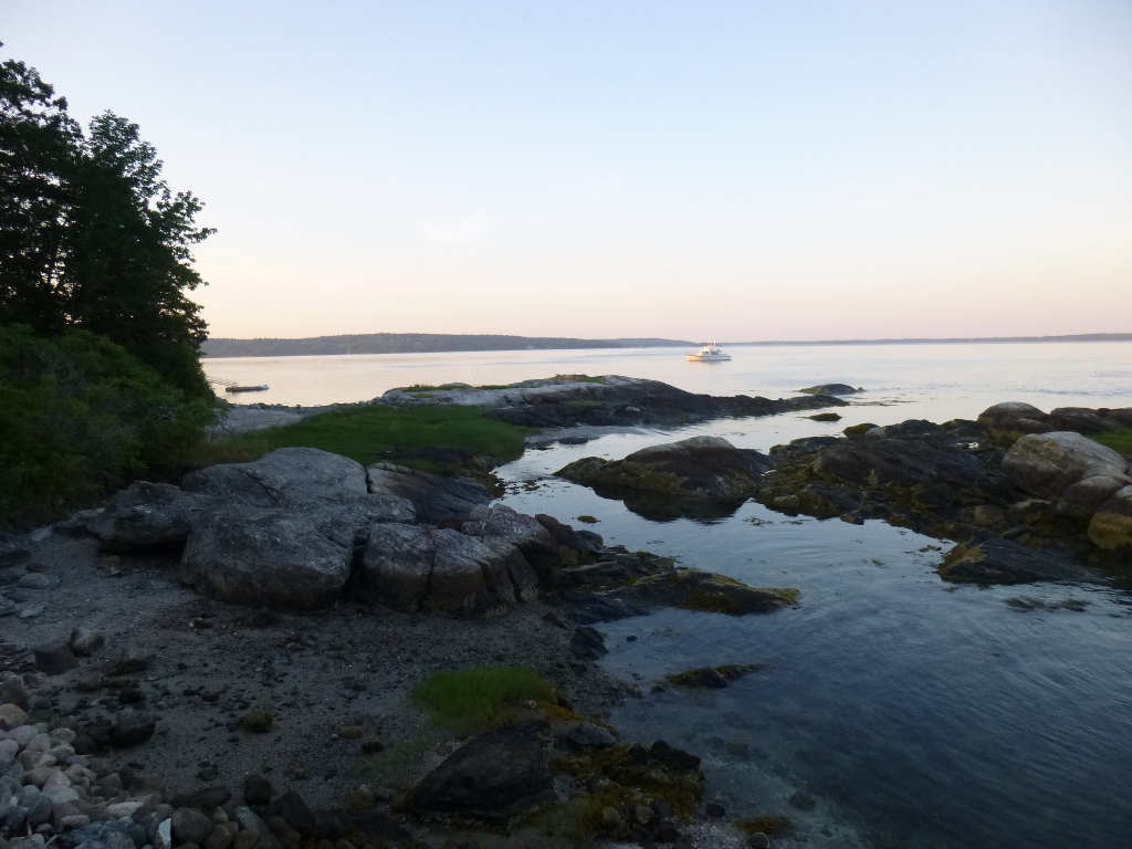 We
let Jerome (our GPS) direct us the rest of the way to Ensworth’s
outside of Blue Hill. (We double checked his directions with the
ones Lynne sent!) We got there around 5 – Tim was still
rinsing off equipment from their day of sea kayaking.
We went to
the Fish Net for supper - a small fresh seafood place - then
we had a little driving tour of area. It was quite
interesting. At left is a view of Blue Hill Bay.
Below, on
the left, is a phenomenon known as the "Reversing Falls." You
can
just see ripples coming from under the bridge we are standing next to -
if you are there at the right time (an hour or so before high tide is
said to be best) those ripples become up to 3 foot waves - and
the
direction reverses with the tide! Apparently a popular sport
is
paddling, surfing, skiing or tubing under the bridge at "falls time."
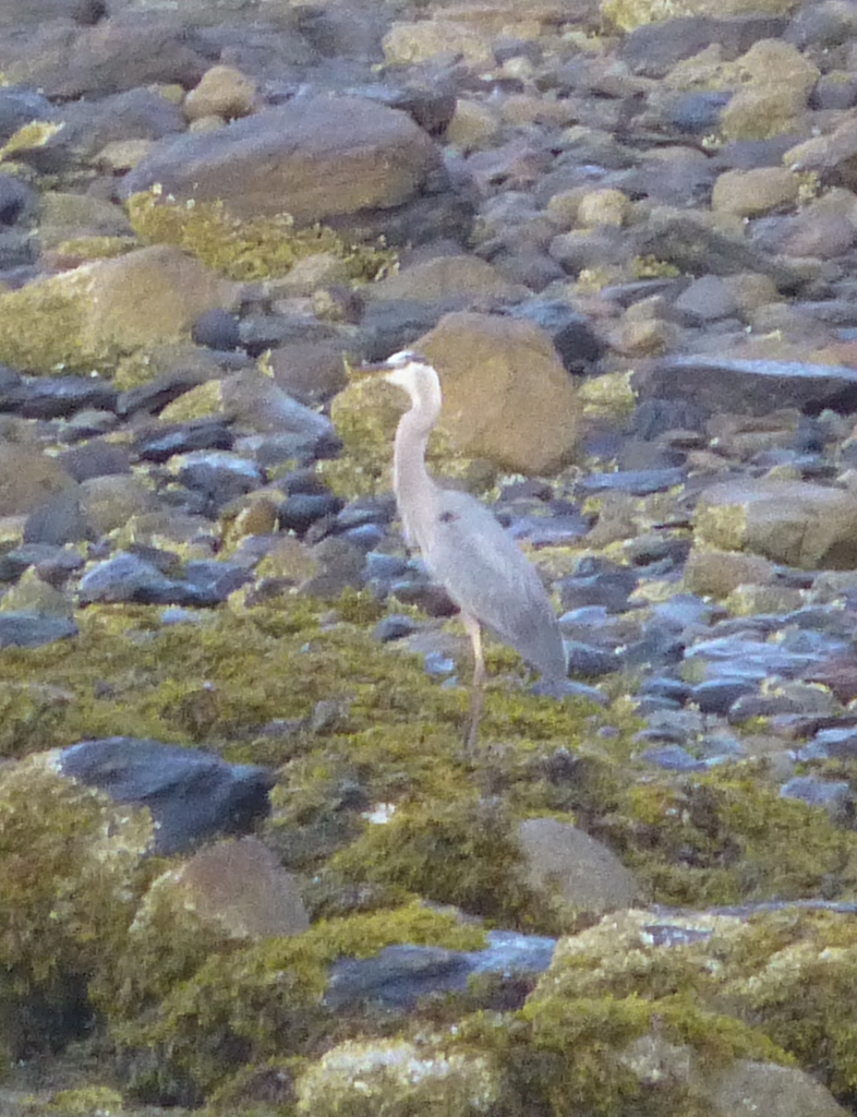
In the center is a Great Blue Heron who seemed to be scouting for
his
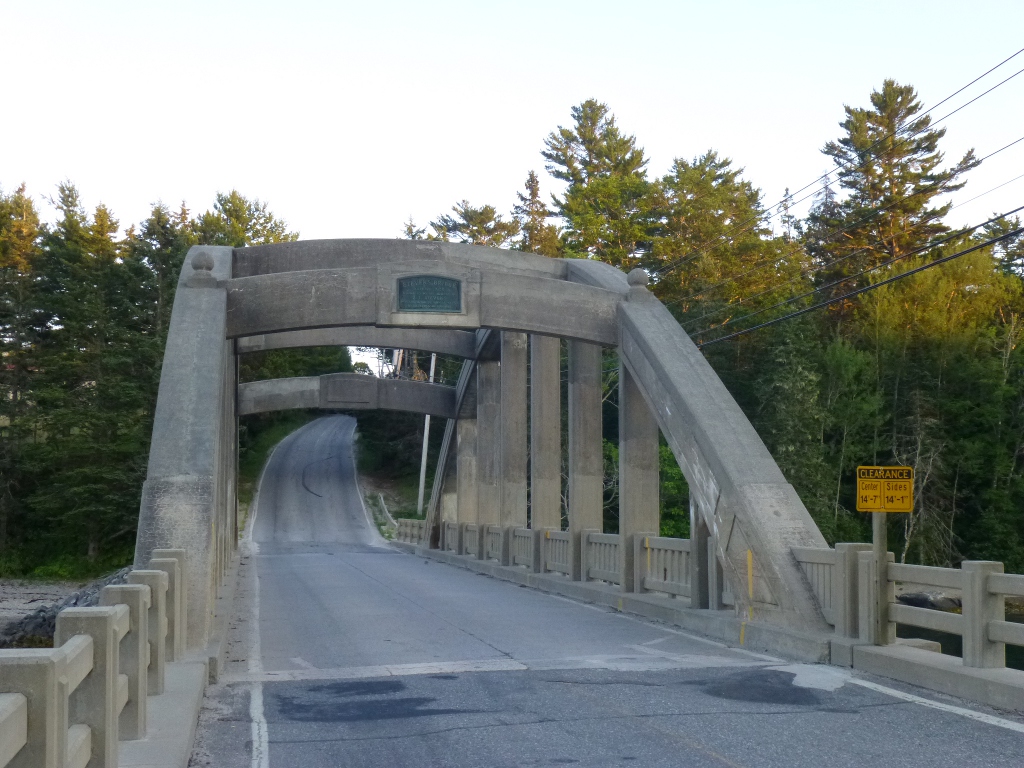
supper. And at the right is a picture of Stevens Bridge (aka
Falls Bridge - after the reversing falls below it). Built in
1926, it is one of only two "rainbow arch" bridges remaining in Maine. We
let Jerome (our GPS) direct us the rest of the way to Ensworth’s
outside of Blue Hill. (We double checked his directions with the
ones Lynne sent!) We got there around 5 – Tim was still
rinsing off equipment from their day of sea kayaking.
We went to
the Fish Net for supper - a small fresh seafood place - then
we had a little driving tour of area. It was quite
interesting. At left is a view of Blue Hill Bay.
Below, on
the left, is a phenomenon known as the "Reversing Falls." You
can
just see ripples coming from under the bridge we are standing next to -
if you are there at the right time (an hour or so before high tide is
said to be best) those ripples become up to 3 foot waves - and
the
direction reverses with the tide! Apparently a popular sport
is
paddling, surfing, skiing or tubing under the bridge at "falls time."
In the center is a Great Blue Heron who seemed to be scouting for
his
supper. And at the right is a picture of Stevens Bridge (aka
Falls Bridge - after the reversing falls below it). Built in
1926, it is one of only two "rainbow arch" bridges remaining in Maine.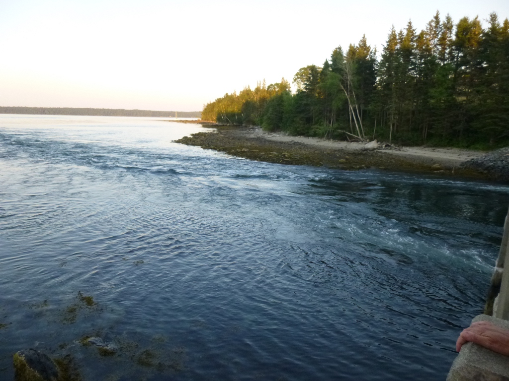
   Tuesday
July 16 – Tim and Lynne asked if we would be interested in kayaking and
we jumped at the chance, though we warned them Tuesday
July 16 – Tim and Lynne asked if we would be interested in kayaking and
we jumped at the chance, though we warned them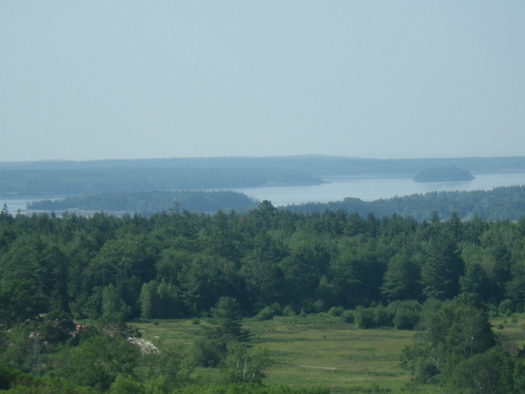 that this was brand
new to us so we would need lots of instruction. We had a
brief on-solid-ground orientation to the tandem kayak, then loaded up
the trailer and made our way to Little Deer Isle then down to the tip
of Deer Isle to Stonington. Beautiful view en route at left
and crossing Deer Island Bridge at right. We paddled out to
McGlathrey island; had lunch and explored a little on
the rocks. We saw some cormorants, guillemots and a couple of
seals. I took our waterproof camera but it's very hard to
take pictures from a rocking kayak so there aren't any
wildlife photos! The pictures below start (left) at
Stonington Harbor; the center picture is the view we enjoyed while we
ate lunch on the island and the one on the right shows some of the rocks we climbed
around on after lunch. It was a gorgeous day - the water was
very smooth (nice for newbies) and the breeze was wonderful. that this was brand
new to us so we would need lots of instruction. We had a
brief on-solid-ground orientation to the tandem kayak, then loaded up
the trailer and made our way to Little Deer Isle then down to the tip
of Deer Isle to Stonington. Beautiful view en route at left
and crossing Deer Island Bridge at right. We paddled out to
McGlathrey island; had lunch and explored a little on
the rocks. We saw some cormorants, guillemots and a couple of
seals. I took our waterproof camera but it's very hard to
take pictures from a rocking kayak so there aren't any
wildlife photos! The pictures below start (left) at
Stonington Harbor; the center picture is the view we enjoyed while we
ate lunch on the island and the one on the right shows some of the rocks we climbed
around on after lunch. It was a gorgeous day - the water was
very smooth (nice for newbies) and the breeze was wonderful. 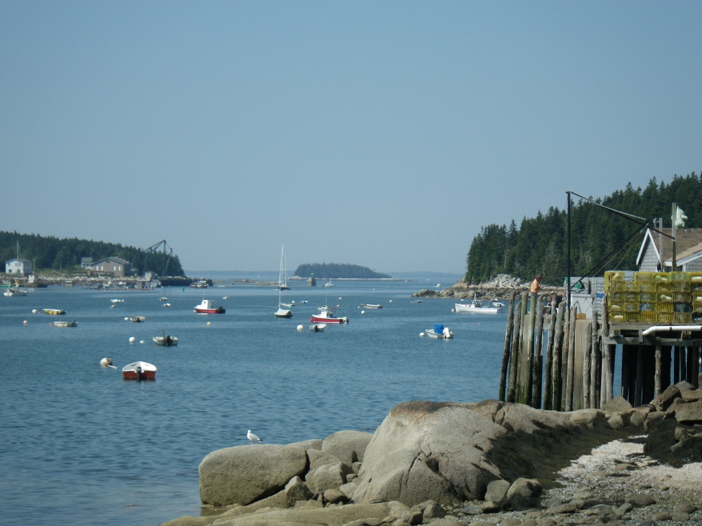   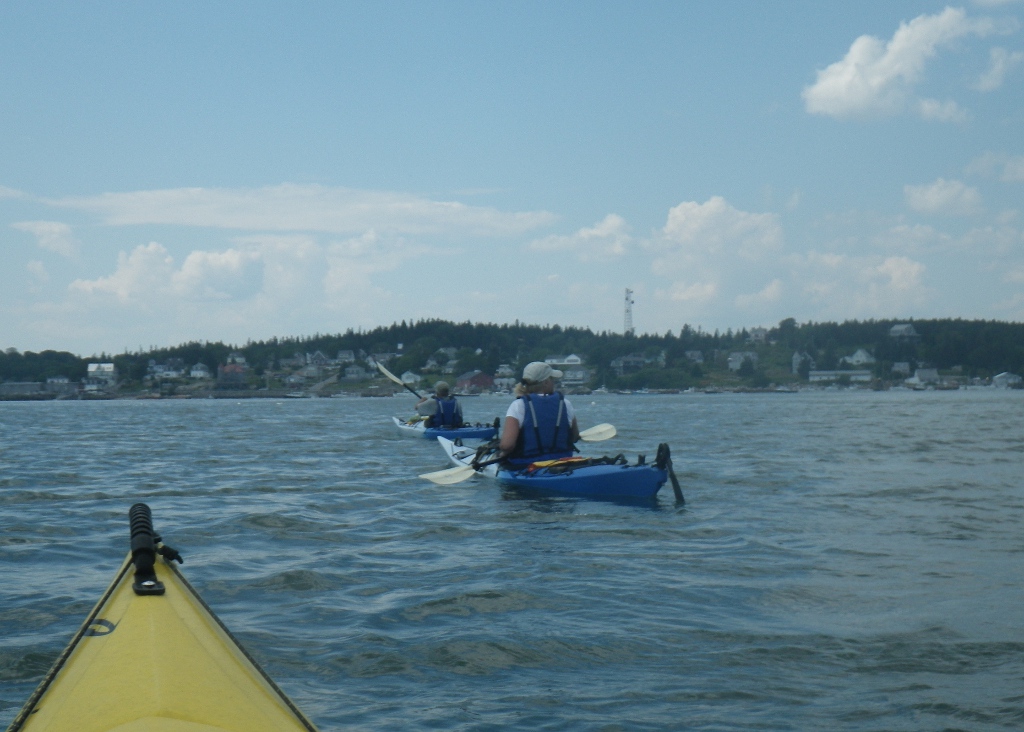 The picture to the
left was taken as we headed back to Stonington Harbor. Tim is
in the front, then Lynne and we are in the yellow kayak - you can just
see its front! Tim guessed we paddled about 6 miles today - we had a
great time and were only a little bit sore the next morning.
We stopped for fresh
lobsters very near the harbor and then had some ice cream snacks in
town before driving back. What a yummy dinner – my first
whole lobster (I'm glad I had that experience among friends and not in
a restaurant!), with corn on the cob and
salads. We were so full that we had only tiny snacks of ice cream with
strawberries before bed. The picture to the
left was taken as we headed back to Stonington Harbor. Tim is
in the front, then Lynne and we are in the yellow kayak - you can just
see its front! Tim guessed we paddled about 6 miles today - we had a
great time and were only a little bit sore the next morning.
We stopped for fresh
lobsters very near the harbor and then had some ice cream snacks in
town before driving back. What a yummy dinner – my first
whole lobster (I'm glad I had that experience among friends and not in
a restaurant!), with corn on the cob and
salads. We were so full that we had only tiny snacks of ice cream with
strawberries before bed.  Wed July 17 – We left
around 9 AM this morning after a delightful oatmeal
breakfast. What a lovely visit! Lynne took the
picture at the right before we left - very nice porch for rocking!
You can't really see them in the picture but all along the
top rail are sand dollars drying out. On one of their kayaking trips,
they came across the "mother lode" as it were and Tim spent some time
diving down a few feet to bring them up for Lynne's
collection! Wed July 17 – We left
around 9 AM this morning after a delightful oatmeal
breakfast. What a lovely visit! Lynne took the
picture at the right before we left - very nice porch for rocking!
You can't really see them in the picture but all along the
top rail are sand dollars drying out. On one of their kayaking trips,
they came across the "mother lode" as it were and Tim spent some time
diving down a few feet to bring them up for Lynne's
collection! 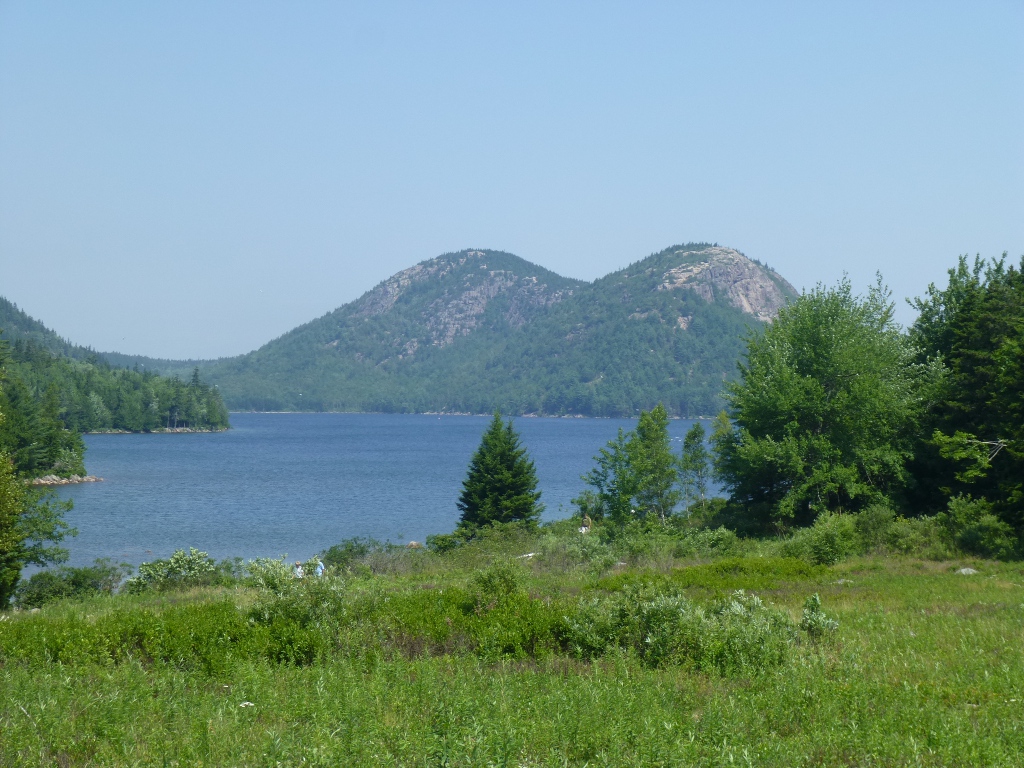 We drove over to Acadia National
Park which is very close by. After a stop at the Visitor's
Center to show my Senior Pass and get a parking permit, we drove down
to Jordon Pond. We made a lunch reservation at the Jordan
Pond House and
then walked the 3.3 mile trail around the pond – what a nice, LEVEL
walk and mostly in
the shade. Then we had a delightful lunch out on the lawn – I had
blueberry iced tea and
a cranberry/ chicken salad with fruit and crackers; John had a
panini and we both enjoyed the view. Below are two
pictures from the walk around the pond: the water was so clear it was
almost like the Caribbean, but the trees were definitely not Palm
Trees! And at the right is a picture of the lawn during lunch
time! We drove over to Acadia National
Park which is very close by. After a stop at the Visitor's
Center to show my Senior Pass and get a parking permit, we drove down
to Jordon Pond. We made a lunch reservation at the Jordan
Pond House and
then walked the 3.3 mile trail around the pond – what a nice, LEVEL
walk and mostly in
the shade. Then we had a delightful lunch out on the lawn – I had
blueberry iced tea and
a cranberry/ chicken salad with fruit and crackers; John had a
panini and we both enjoyed the view. Below are two
pictures from the walk around the pond: the water was so clear it was
almost like the Caribbean, but the trees were definitely not Palm
Trees! And at the right is a picture of the lawn during lunch
time! 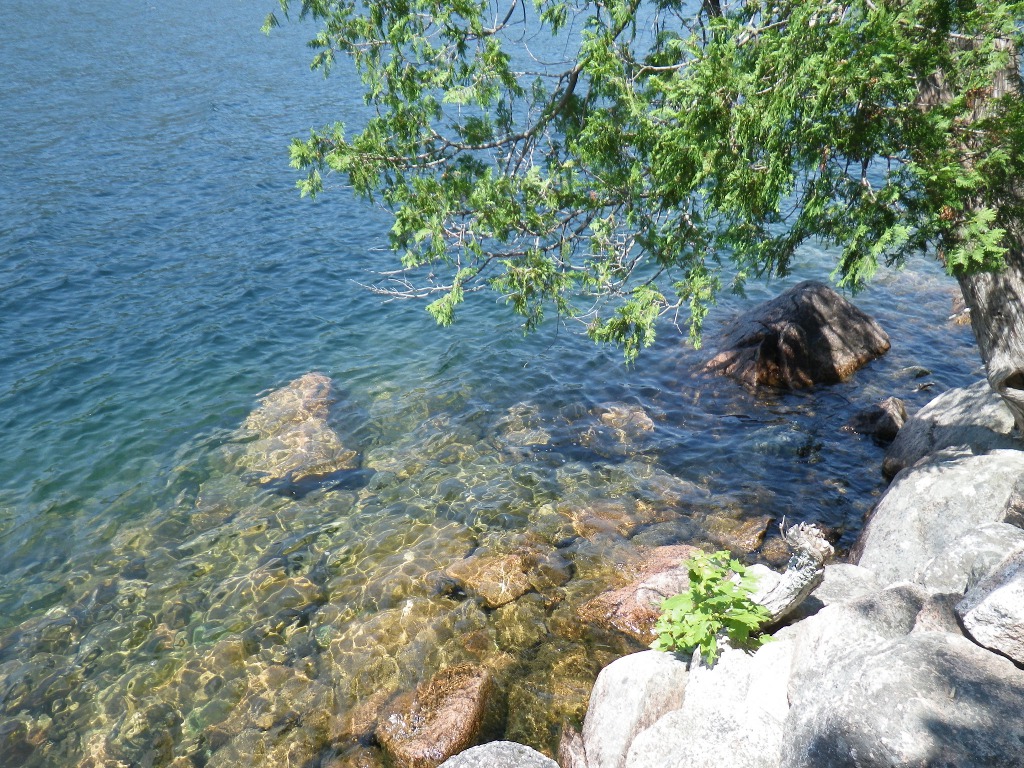 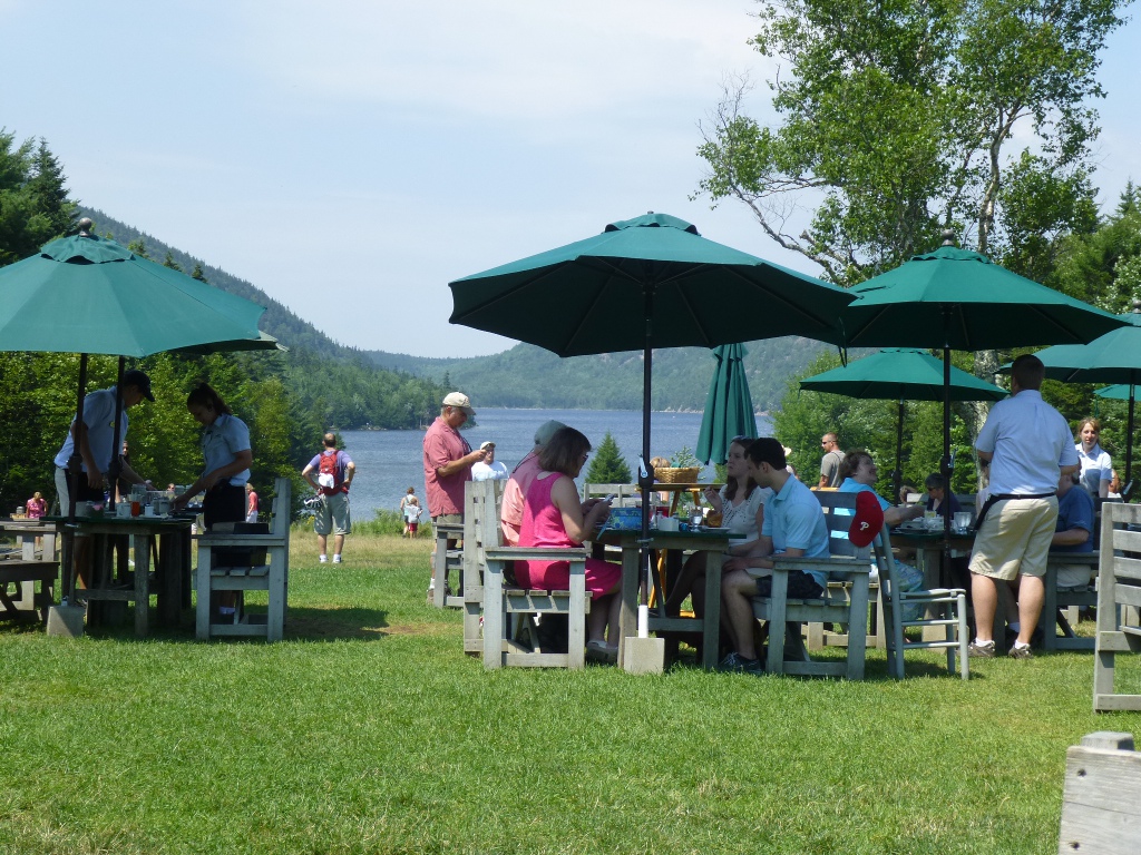  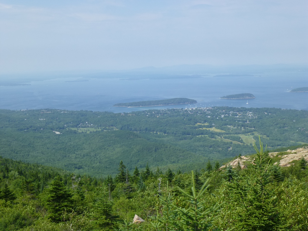 After
lunch we drove up Cadillac
Mountain and took lots of pictures - samples on left and right!
This is supposed to be the first point in the US to get the
sunrise each morning. But that didn't inspire me to get up before dawn to see it! On the
way back to the motel (Days Inn - nothing to write home about but a
great bargain in this high-priced area) I made a wrong turn and we had
to drive back
through a few
blocks of Bar Harbor. In those few blocks, we saw a sign posted for
a Celtic
Concert
tonight held at the College of the Atlantic so I decided it was
providential that I made the wrong turn! We had an early
supper at Jack Russell’s Steakhouse and
microbrewery so we could get to the concert. After
lunch we drove up Cadillac
Mountain and took lots of pictures - samples on left and right!
This is supposed to be the first point in the US to get the
sunrise each morning. But that didn't inspire me to get up before dawn to see it! On the
way back to the motel (Days Inn - nothing to write home about but a
great bargain in this high-priced area) I made a wrong turn and we had
to drive back
through a few
blocks of Bar Harbor. In those few blocks, we saw a sign posted for
a Celtic
Concert
tonight held at the College of the Atlantic so I decided it was
providential that I made the wrong turn! We had an early
supper at Jack Russell’s Steakhouse and
microbrewery so we could get to the concert. 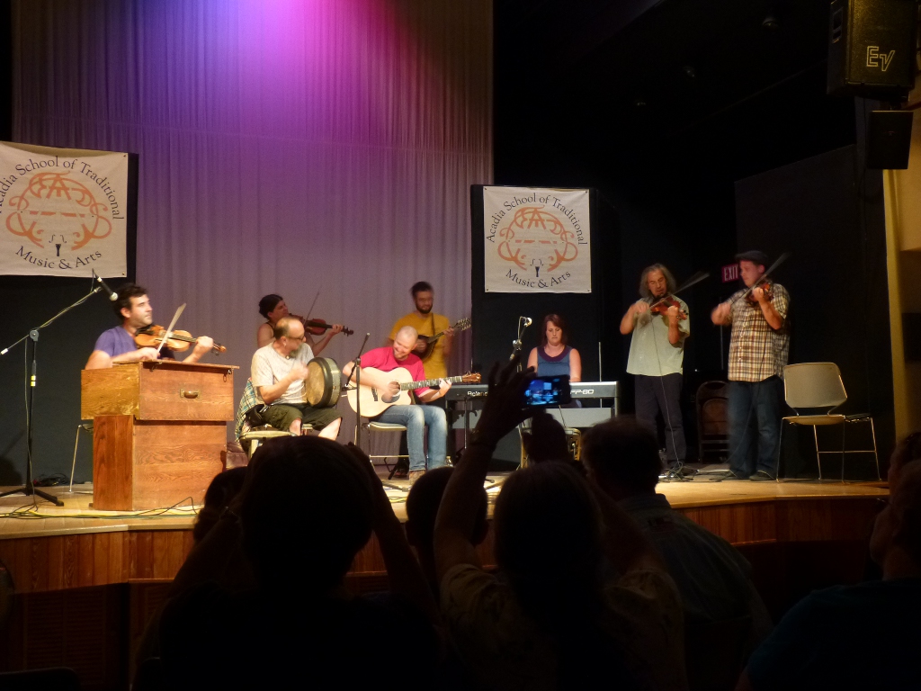 (My crab cakes were
good; John had the haddock and also enjoyed the brown ale.) (My crab cakes were
good; John had the haddock and also enjoyed the brown ale.)
The concert was part of the Acadia School of Traditional Music and Art - this is apparently the first year for this summer program in this location. Tonight's concert featured many of the instructors, most from the Cape Breton and Quebec area. Among the performers were Troy MacGillivray, Ryan McGiver, Richard Forest and a Maine duo: Velocipede. The grand finale included all of those who performed tonight and some who didn't! They conferred for a couple of minutes to find something everyone could play and then they just jammed! It was very fun. At right you can almost feel the beat just from the picture, can't you? Thurs July 18  This morning, we started at the
Wild Gardens of Acadia (left picture). This morning, we started at the
Wild Gardens of Acadia (left picture). 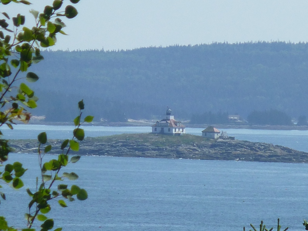 These
were very nicely kept and organized – we
found
names for a couple of plants we had not been able to identify: Canada Lily and striped
maple. We stopped at a few viewpoints - one gave me this
nice view of Egg Rock Lighthouse. We drove by Sand Beach where
the parking lot was totally
full
and we lost interest in stopping there. Continuing on down the Park Loop Road, we
stopped at Thunder Hole and had fun scrambling
over
rocks for a while - see the 2 pictures below. However, there was
no activity at the hole so we decided to come back tonight at high
tide and hope for more. These
were very nicely kept and organized – we
found
names for a couple of plants we had not been able to identify: Canada Lily and striped
maple. We stopped at a few viewpoints - one gave me this
nice view of Egg Rock Lighthouse. We drove by Sand Beach where
the parking lot was totally
full
and we lost interest in stopping there. Continuing on down the Park Loop Road, we
stopped at Thunder Hole and had fun scrambling
over
rocks for a while - see the 2 pictures below. However, there was
no activity at the hole so we decided to come back tonight at high
tide and hope for more.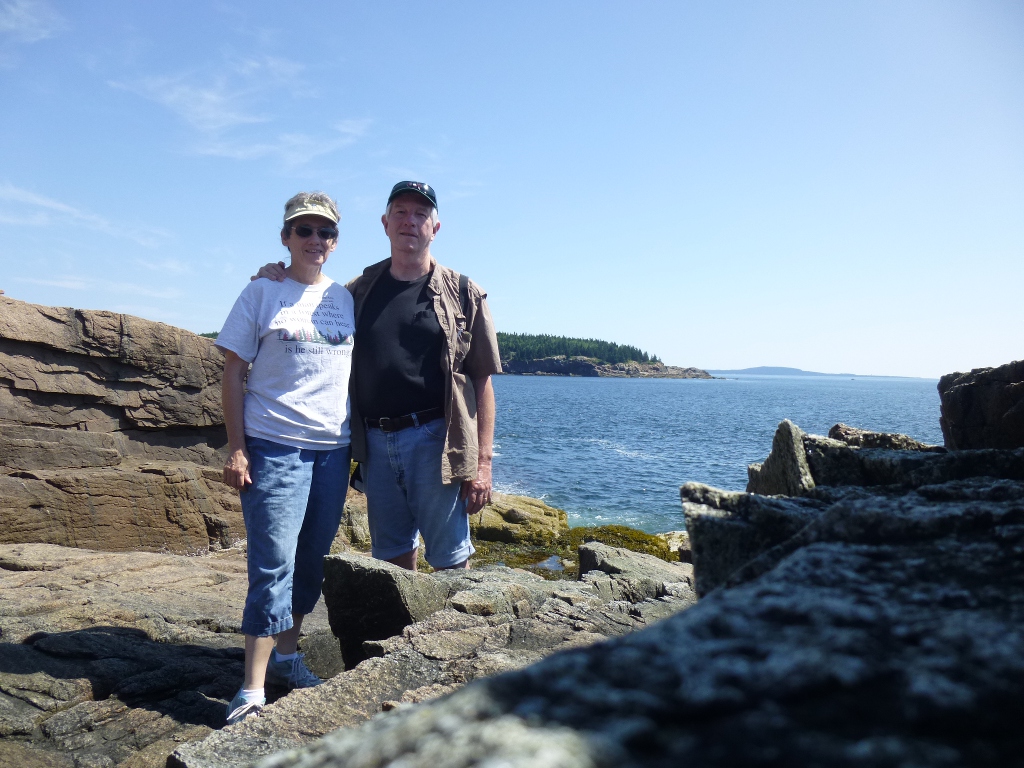 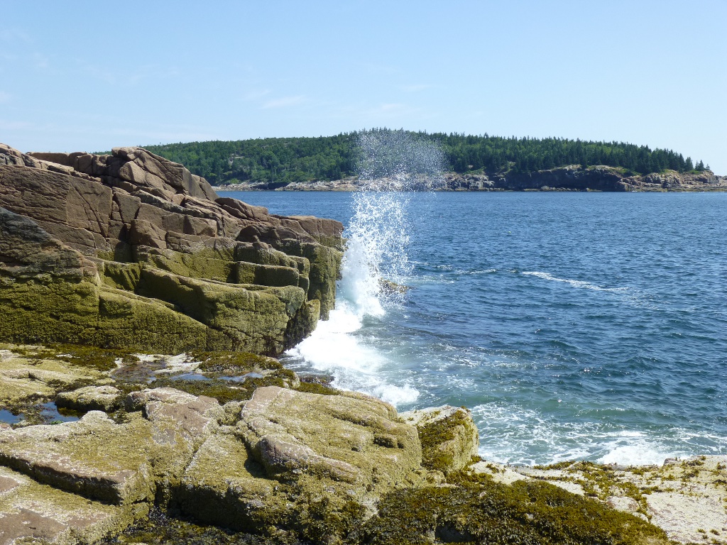 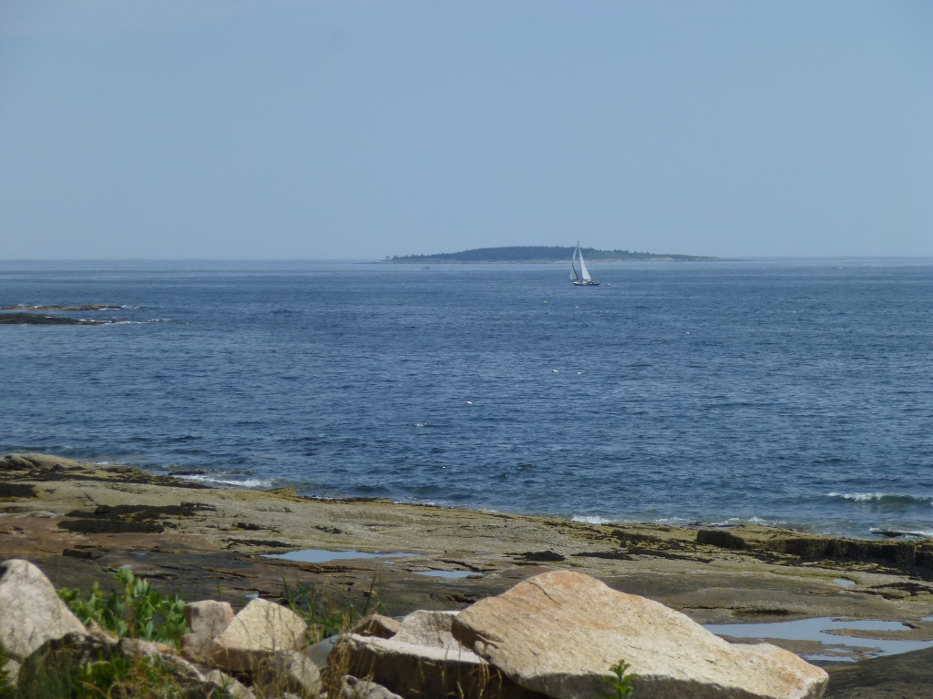 Next
we drove up and around, over Somes Sound and down to Wonderland at the
tip of that peninsula. We stopped at a few overlooks and also
stopped
at
Sea Biscuit Café in Southwestern Harbor for John to get a
sandwich. Bad choice. It took literally 45 minutes for a
chicken salad
sandwich. I won't go into the details because I just read on
their website that this restaurant is now closed. That's probably
a good thing. Next
we drove up and around, over Somes Sound and down to Wonderland at the
tip of that peninsula. We stopped at a few overlooks and also
stopped
at
Sea Biscuit Café in Southwestern Harbor for John to get a
sandwich. Bad choice. It took literally 45 minutes for a
chicken salad
sandwich. I won't go into the details because I just read on
their website that this restaurant is now closed. That's probably
a good thing.Finally we got to Wonderland and spent an hour or more playing on the large rocks, exploring the numerous tidal pools and looking at the small rocks on the beachy areas. There were many lovely views of birds, sailboats, etc. One of my favorites is at the left. Below, left to right, are another beautiful view from out on the rocks, a close up of one of the many tidal pools, and a sample of the variety of rocks all around that area. It was very hard for John not to bring them home! (Rock collecting is not permitted in the National Park.) 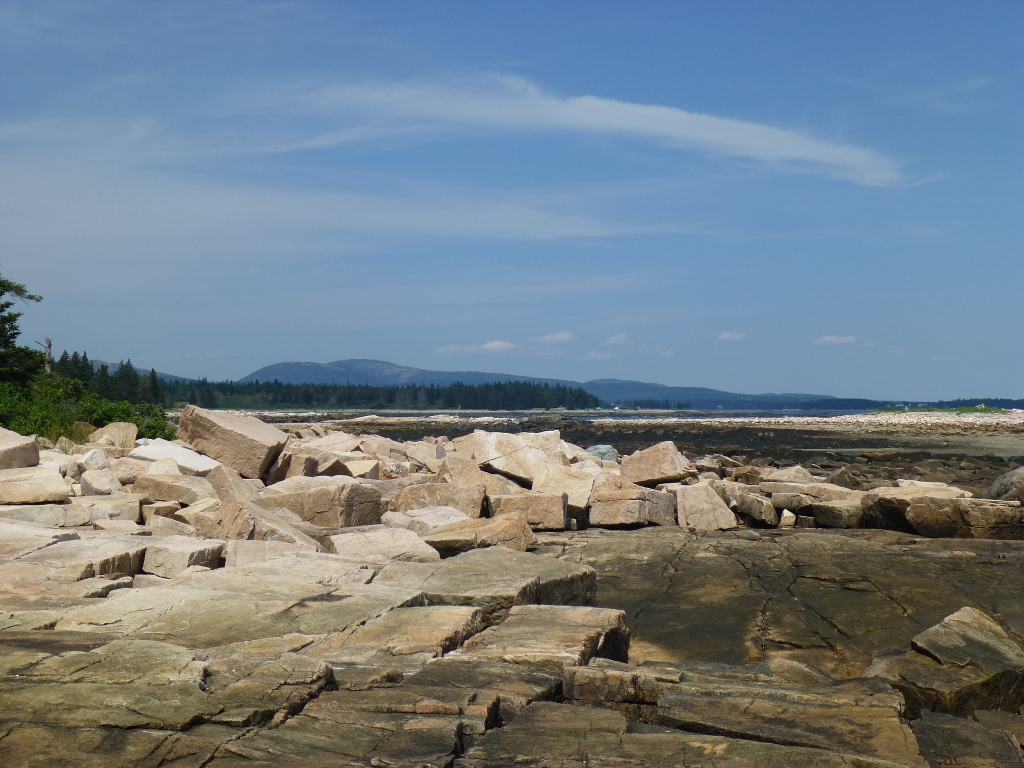 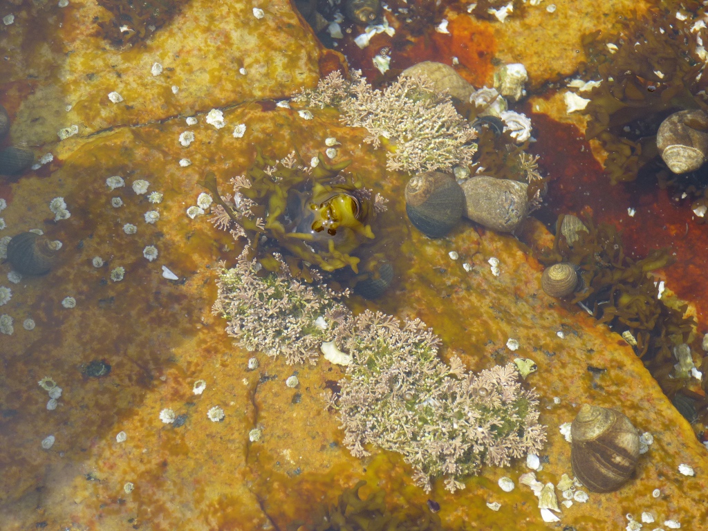  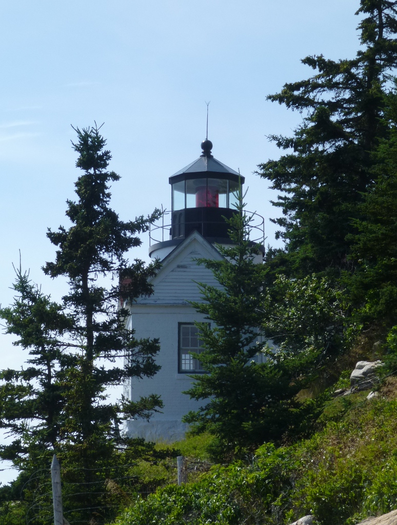 We
made one more stop - at Bass Harbor Head Lighthouse - before
driving back around to Bar Harbor. It was just a short walk and a
lot of wooden stairs down to a point where one could see the
lighthouse; not great views but I did get a couple of pictures (one at
left). We
made one more stop - at Bass Harbor Head Lighthouse - before
driving back around to Bar Harbor. It was just a short walk and a
lot of wooden stairs down to a point where one could see the
lighthouse; not great views but I did get a couple of pictures (one at
left).Back at the motel we showered and changed and set off to Bar Harbor for the evening. 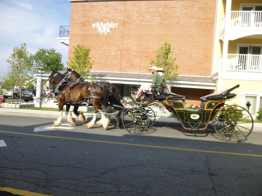 We
found a
nice
parking place on West St. only a couple blocks from Main. We
had
supper at the West Street Café
which was very nice. It was before
6 PM so we
got "early bird" prices - a special bonus. I had grilled salmon
with mango chutney;
John
had stuffed haddock. We could just barely see the harbor from the
terrace, but
there was other entertainment - the horse and buggy route came right by
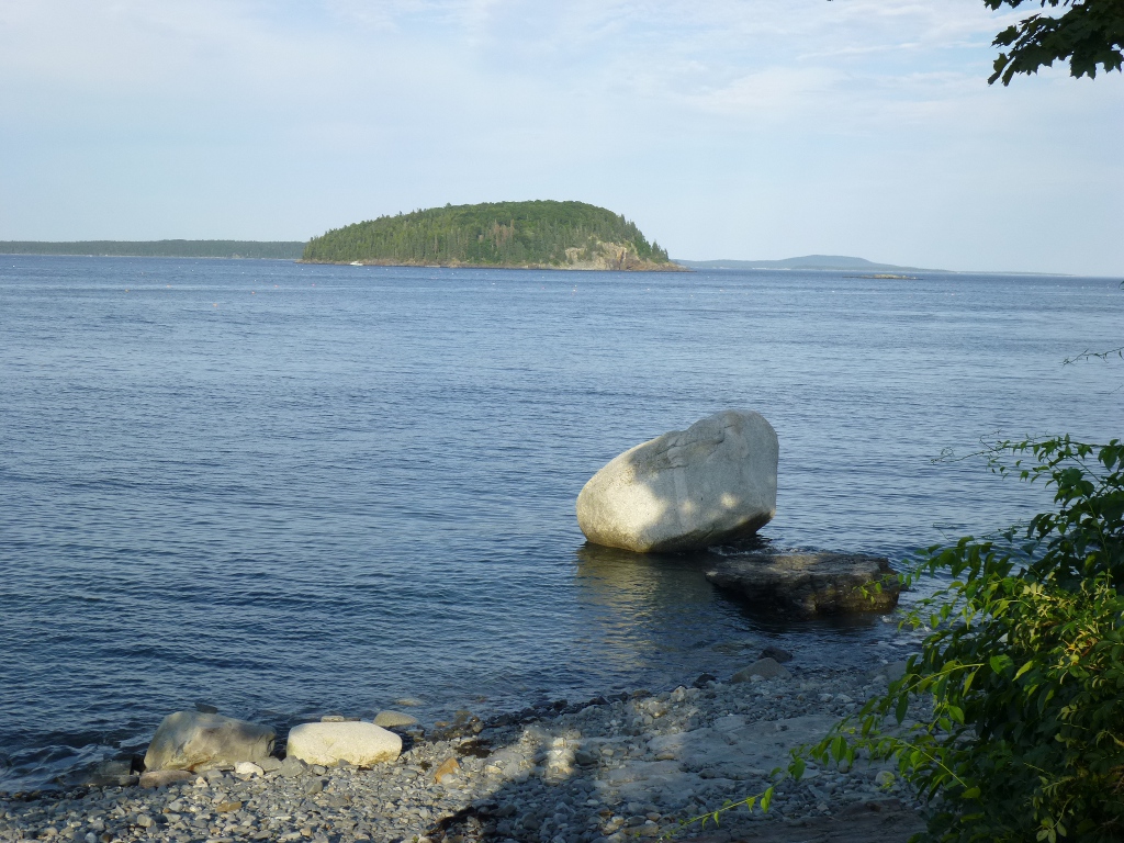
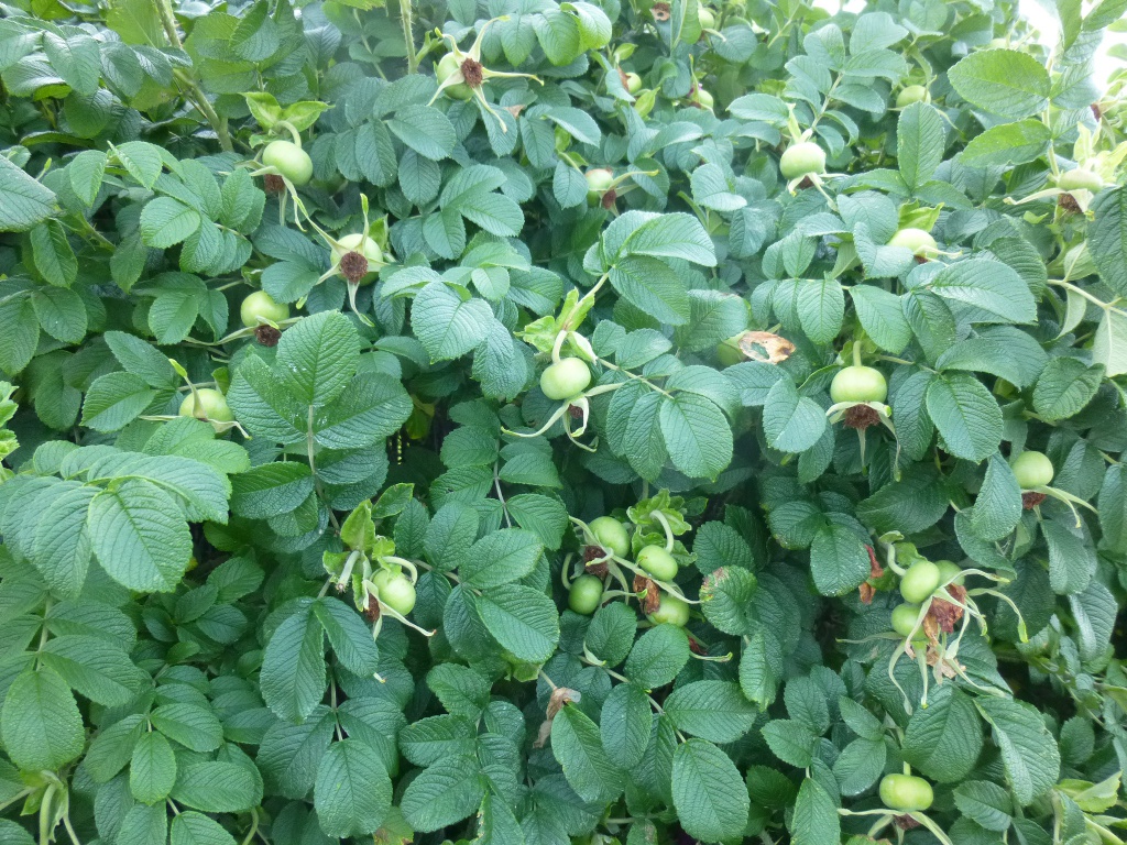
our outdoor seating. Then we walked down the Shore Path (along
the shore - duh), gawked at some of the mansions, enjoyed the views
(center below is a 'glacial erratic' known as Balanced Rock) and were
amazed by the giant rose hips in some of the gardens near the path! We
found a
nice
parking place on West St. only a couple blocks from Main. We
had
supper at the West Street Café
which was very nice. It was before
6 PM so we
got "early bird" prices - a special bonus. I had grilled salmon
with mango chutney;
John
had stuffed haddock. We could just barely see the harbor from the
terrace, but
there was other entertainment - the horse and buggy route came right by
our outdoor seating. Then we walked down the Shore Path (along
the shore - duh), gawked at some of the mansions, enjoyed the views
(center below is a 'glacial erratic' known as Balanced Rock) and were
amazed by the giant rose hips in some of the gardens near the path!
     We
returned via Main Street which was very crowded and a little
crazy.
There was a band concert in the park and the whole area was just
packed with both pedestrians and cars. We had ice cream snack at
CJ’s Big Dipper (very yummy) and made our way back to the car, passing
the fountain and the harbor. We
returned via Main Street which was very crowded and a little
crazy.
There was a band concert in the park and the whole area was just
packed with both pedestrians and cars. We had ice cream snack at
CJ’s Big Dipper (very yummy) and made our way back to the car, passing
the fountain and the harbor. We drove down to Thunder Hole again but that was a big disappointment – the tide was pretty high but we missed the actual "coming in." I'm not sure if the timing was really the problem, but, though the hole was now covered with water there was still no thundering (pictured below, right). 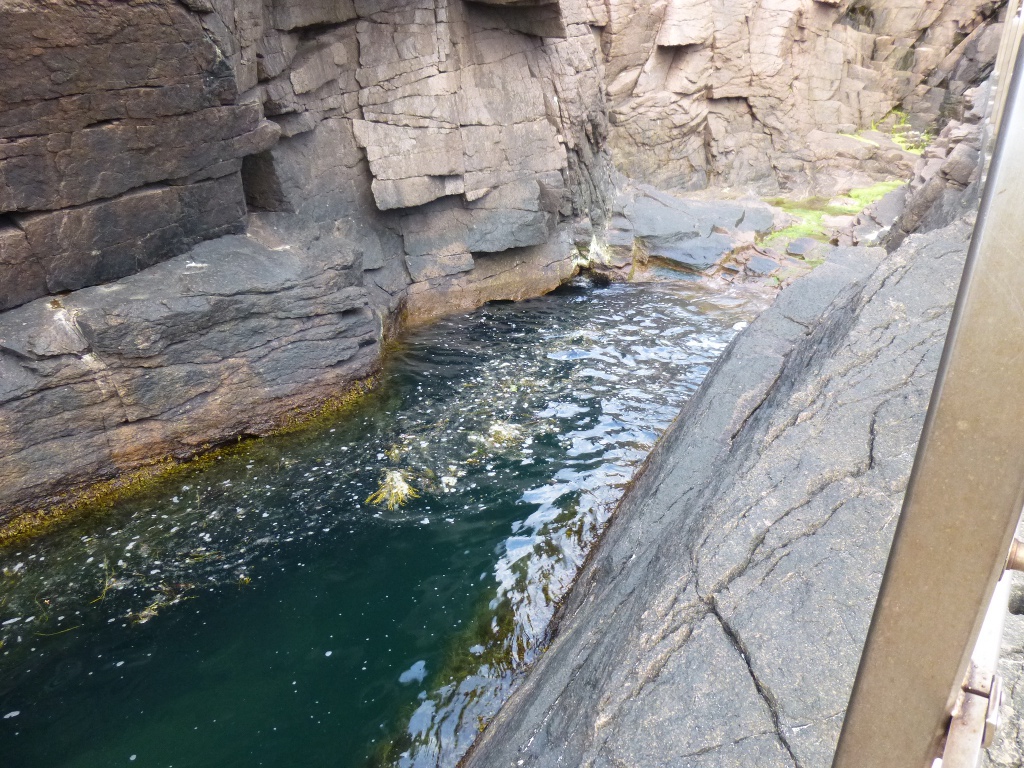 Friday July 19 – 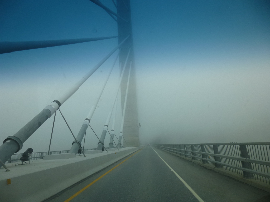 We
left
for home around 9 AM in dense fog. Here's a non-view crossing the
Penobscot Narrows bridge (at left) - compare to picture above from a
couple of
days ago! We couldn't even see the water under the bridge. We passed literally 40 miles' worth of backed up
traffic
on
I-495 outside of Boston. (Note to self: do NOT travel on weekends
ever again, if we can possibly help it! ) These were mostly people
heading up
towards the mountains we were leaving so at least we were heading in the right direction. We left the interstate and
took the "scenic" route (Hwy
2) which was a good road until it got to the western part of the state
- then it became a twisty mountain road! We
left
for home around 9 AM in dense fog. Here's a non-view crossing the
Penobscot Narrows bridge (at left) - compare to picture above from a
couple of
days ago! We couldn't even see the water under the bridge. We passed literally 40 miles' worth of backed up
traffic
on
I-495 outside of Boston. (Note to self: do NOT travel on weekends
ever again, if we can possibly help it! ) These were mostly people
heading up
towards the mountains we were leaving so at least we were heading in the right direction. We left the interstate and
took the "scenic" route (Hwy
2) which was a good road until it got to the western part of the state
- then it became a twisty mountain road! 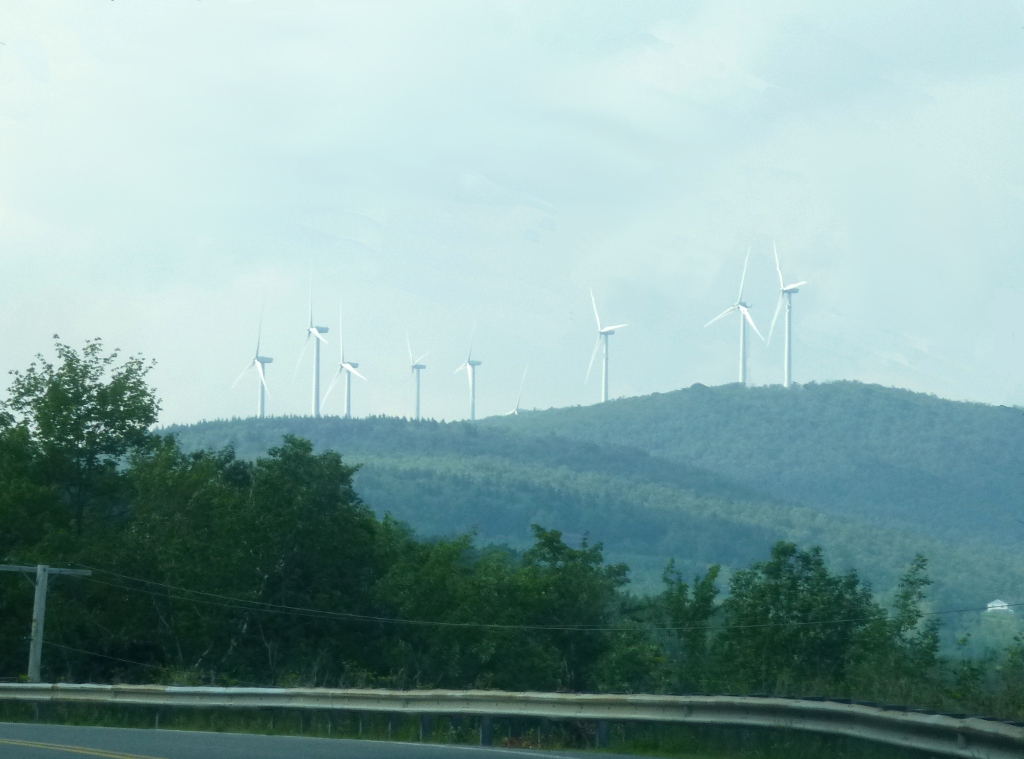 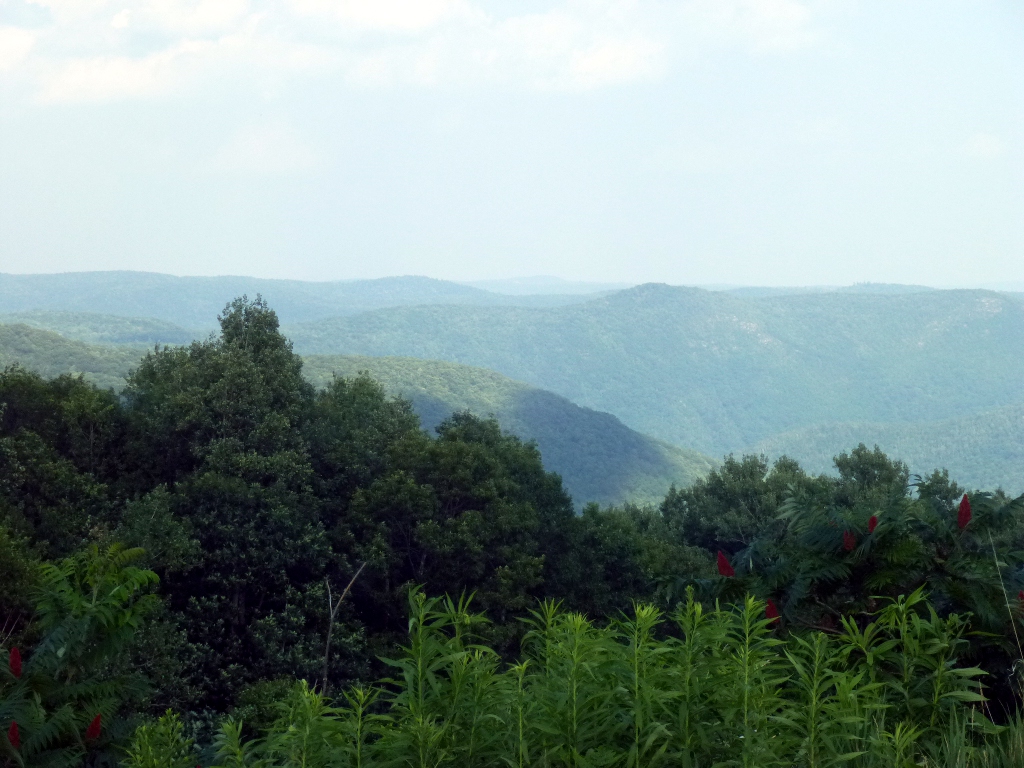 It
was still scenic, however - see a view of the Berkshires at right
and a small wind farm at left.
Got into
the Albany area around 6:30 PM and stopped at the Red Roof Inn at the
airport. This was not a great find but it was not only a
summer weekend, but also the opening of the
Saratoga racing season so most accommodations were fully booked.
We had supper
at
the Olive Garden just a block down the road – that WAS very good.
I tried the new Tuscan garlic chicken) and enjoyed it very
much. We filled up the gas tank and then stopped at Hanafords to
get breakfast and lunch food before turning in for the night. It
was still scenic, however - see a view of the Berkshires at right
and a small wind farm at left.
Got into
the Albany area around 6:30 PM and stopped at the Red Roof Inn at the
airport. This was not a great find but it was not only a
summer weekend, but also the opening of the
Saratoga racing season so most accommodations were fully booked.
We had supper
at
the Olive Garden just a block down the road – that WAS very good.
I tried the new Tuscan garlic chicken) and enjoyed it very
much. We filled up the gas tank and then stopped at Hanafords to
get breakfast and lunch food before turning in for the night.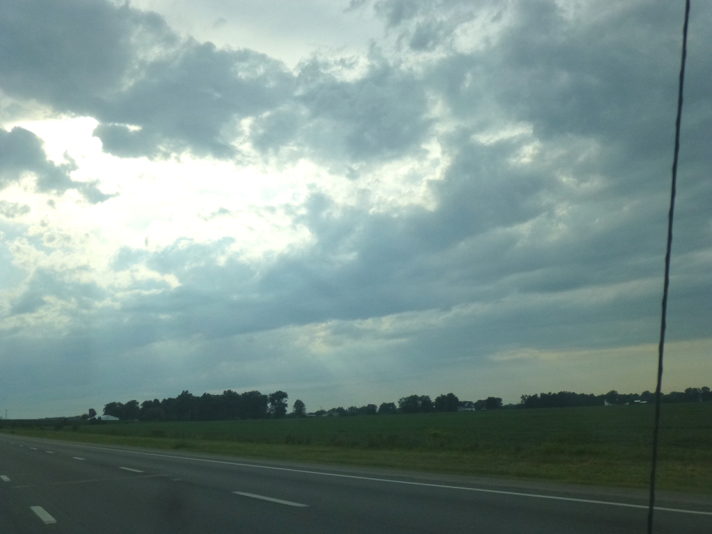 Given
the motel issue tonight, I made a reservation for tomorrow night –
another Red Roof Inn but this one has good reviews and is just off the
highway south of Toledo in Maumee, Ohio. That gives us about 10
hours of driving
tomorrow but only 8.5 on Sunday to get home. Given
the motel issue tonight, I made a reservation for tomorrow night –
another Red Roof Inn but this one has good reviews and is just off the
highway south of Toledo in Maumee, Ohio. That gives us about 10
hours of driving
tomorrow but only 8.5 on Sunday to get home.We hope. Saturday and Sunday July 20 - 21. Well, our 10 hours turned into about 11. First, I made a wrong turn (or rather, I didn't turn where I should have). I was distracted and didn't notice that the highway didn't continue straight. That cost us half an hour, then we ran into some detours and construction. When the scenery changed over to this (picture above, left) we knew we were on the way home! Good old, flat midwest. We used up an extra hour Sunday stopping at the New Pioneer Coop in Coralville to pick up some favorite items (yeast-free bread) we can't get near home. But we still got back early enough in the afternoon to get almost all unpacked and some laundry started. It was a great trip and we had lots of fun but we're also glad to be back home for a while.
|