|
Wednesday,
June 30: Today
our destination is Gooseberry Falls State Park. It is also the
arrival day of Sarah and Sean. Their projects with Tyler and
Jackson's house finished up earlier than expected so she texted Bekah
and asked if we had room for 2 more. Of course we did, but it was good
that we had a day ahead to figure out how beds and meals would all
work out! Anyway, we were glad they could come and were expecting
them mid to late afternoon but
that left much of the day for our Gooseberry adventures!
As we found with Tettegouche, the Visitor Center doubles as a highway rest area so it includes not only clean, modern restrooms, but lots of maps, gifts and souvenirs. And air conditioning, which is very nice when it is way hot outside! This time we packed lunches "to go" and took them with us on our first hike. We started at the main "falls" area - accessible by stairs and boardwalks. Fortunately, it is a large area so even though it was pretty crowded, it didn't feel too dense. Below are the Lower Falls, Middle Falls and Upper Falls, left to right:  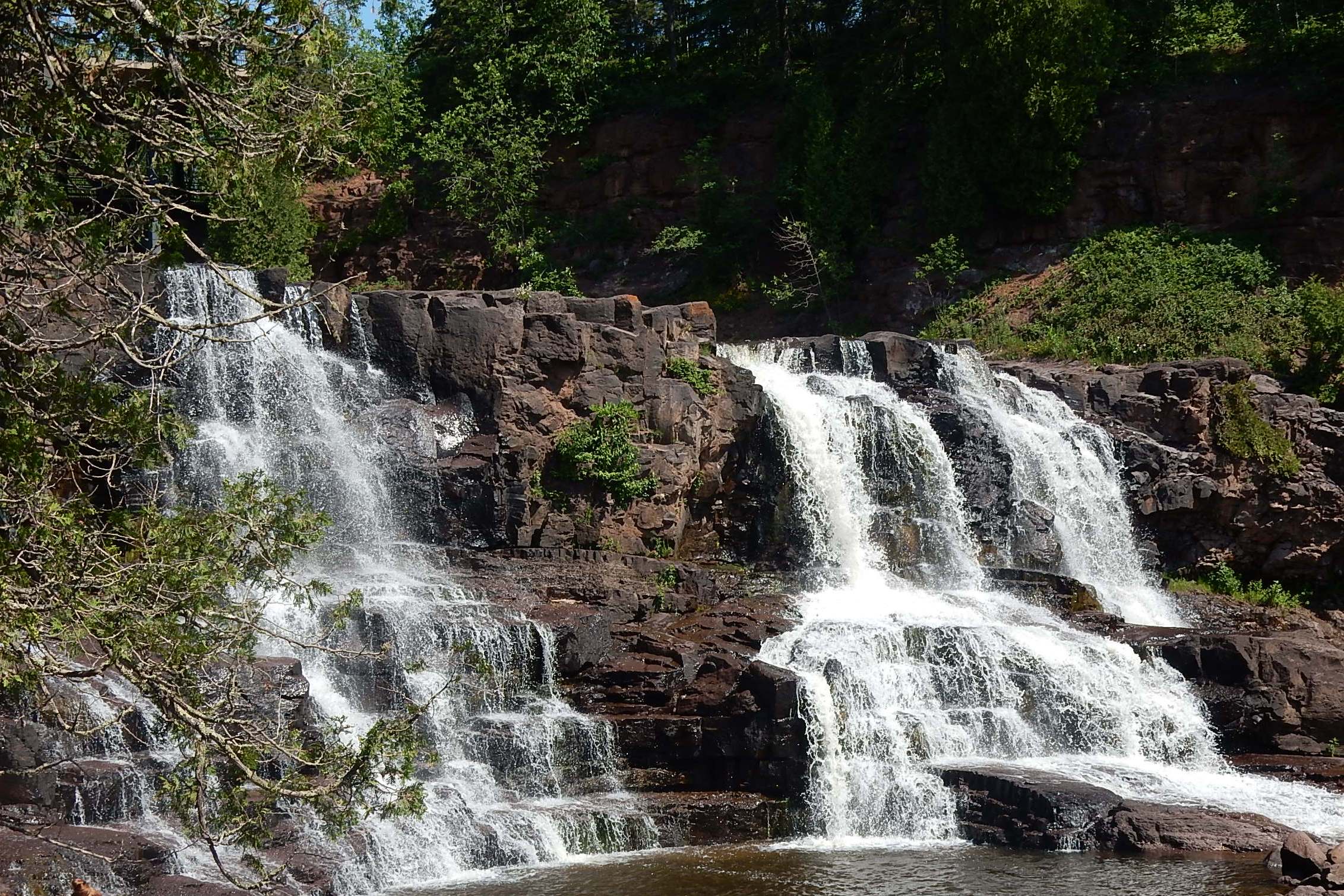 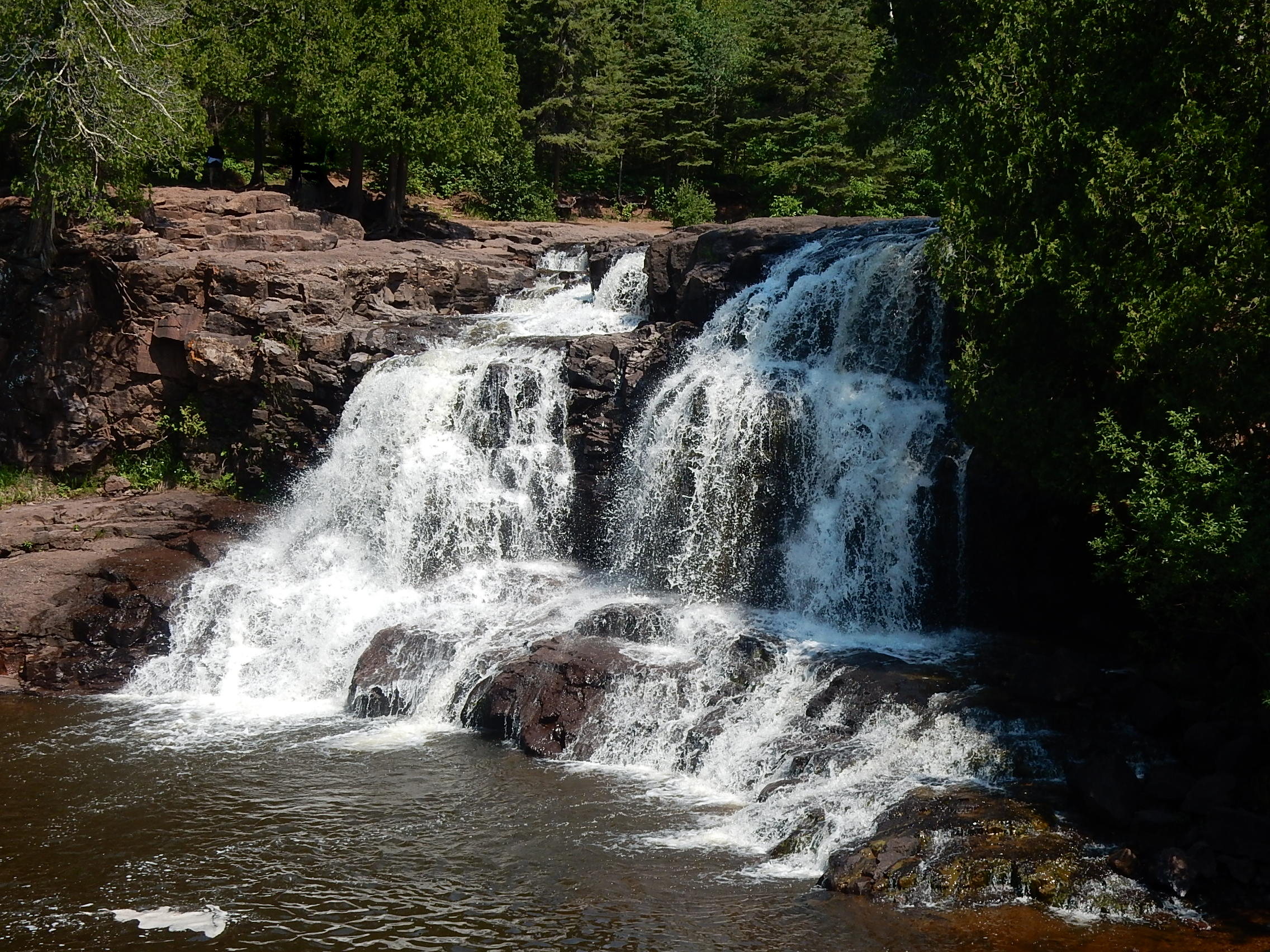 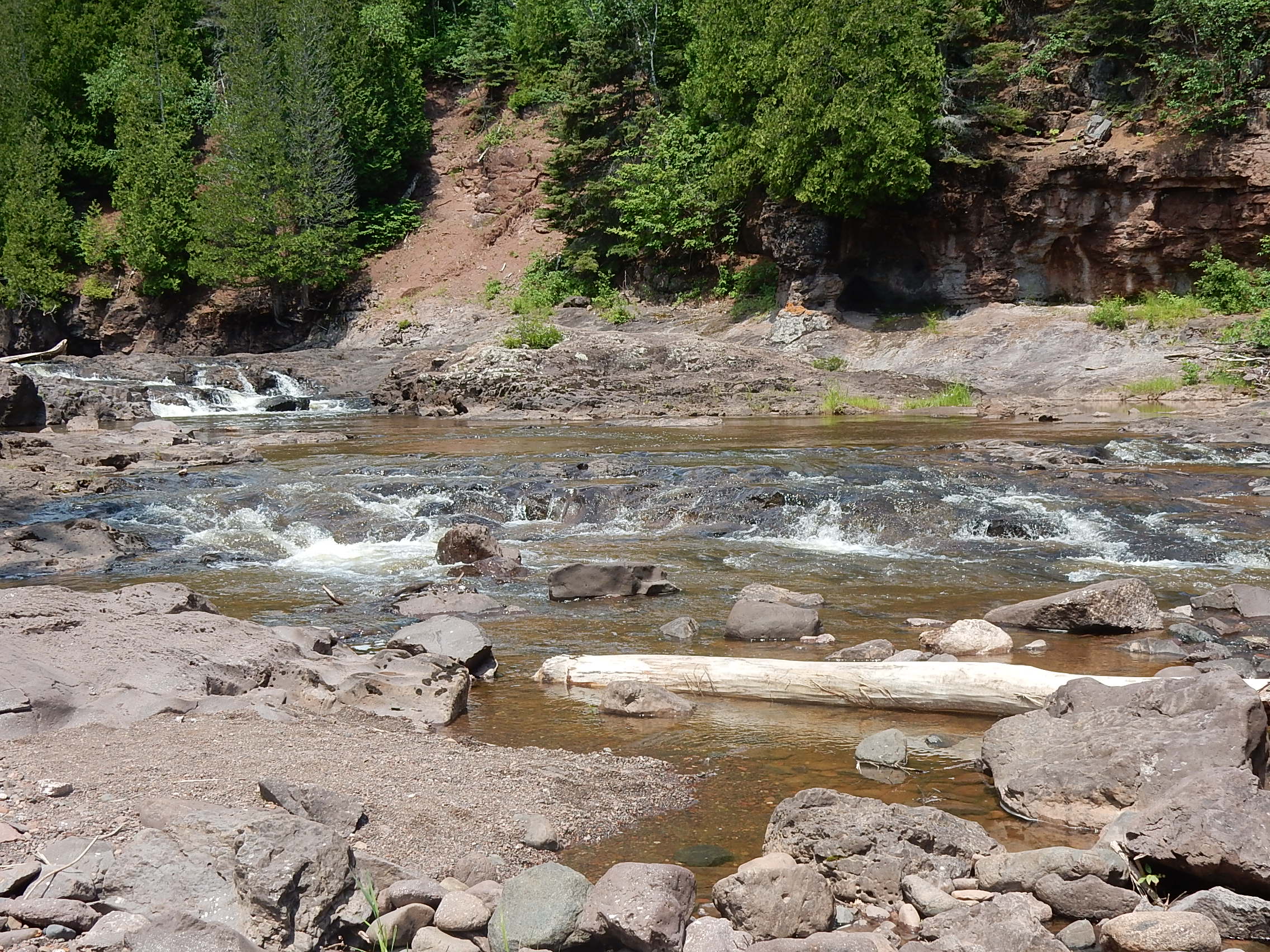
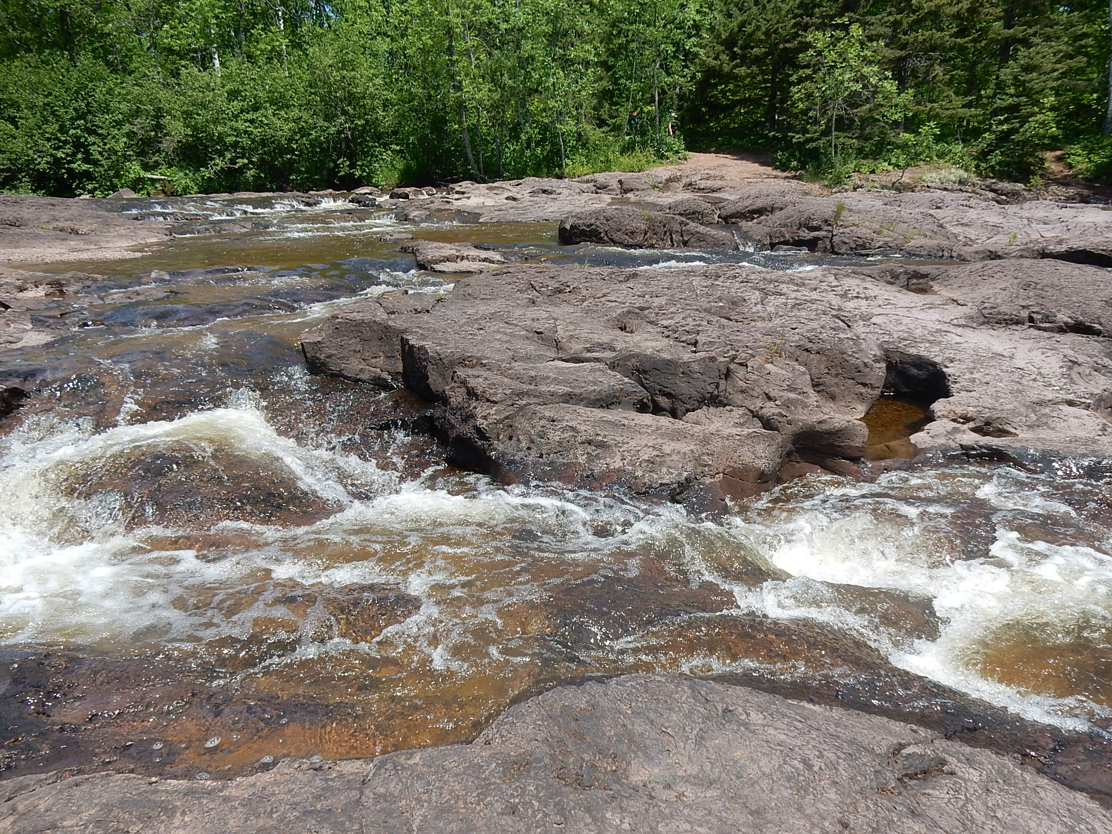  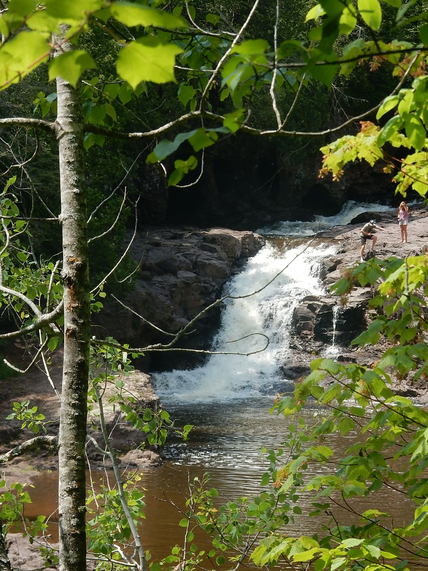  As
we approached Fifth Falls, we could hear it but only caught glimpses
through the trees. At the top, we crossed the bridge and again,
could get glimpses of the falls from the top, but weren't quite
reckless enough to go climbing down. This bridge and all the way
back down to the visitor area on the east side of the river is part of
the Superior Hiking Trail. There was a bench just over the bridge
in the shade that invited us to pause and have lunch. After a
little rest, we started off following the river back down and, just as
we were getting started, I saw a little spur trail that led to the
river just below the falls. This picture (on the left) was taken
by Katie who could scramble down one rock closer than I was willing to
try! The walk back looked pretty much like it did on the way up
but still shaded and pleasant. Places - like the one at the right
- just begged us to wander out on the rocks. And we did! We
also saw lots of wildflowers, but they were the same ones we saw
elsewhere so I didn't add pictures. 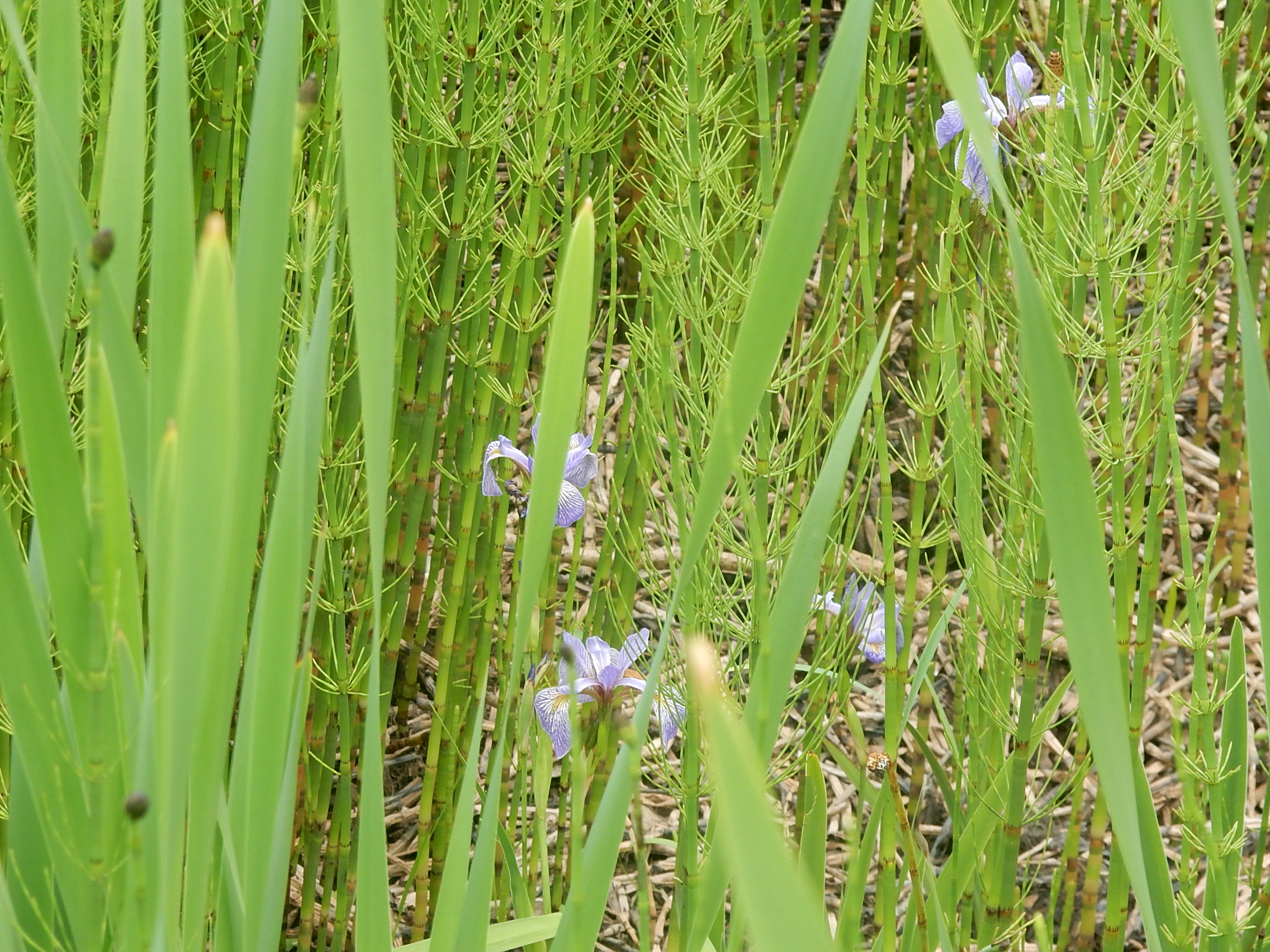  We
still had both time and energy after that approximately 2-miles, so,
after a brief restroom break, we went back past all the lower falls and
took the River View Trail that followed the Gooseberry River all the
way to its mouth at Lake Superior. That was another pleasant walk
(about 2.5 miles round trip but no significant climbing so less
strenuous). Not far past the lower falls we encountered a large
boggy area that we crossed on a boardwalk. It was mostly full of
field horsetail with some ferns and wild iris mixed in - pictured
at the right. The left picture is at the mouth of the river where
it empties into Lake Superior. There was a sandy beach area
and a couple of sand bars that were providing recreation for small
groups of people. Earlier in June, John and I had attended  the
inurnment and celebration of life for my cousin Gary, who died at the
height of the pandemic. Gary loved to travel with his
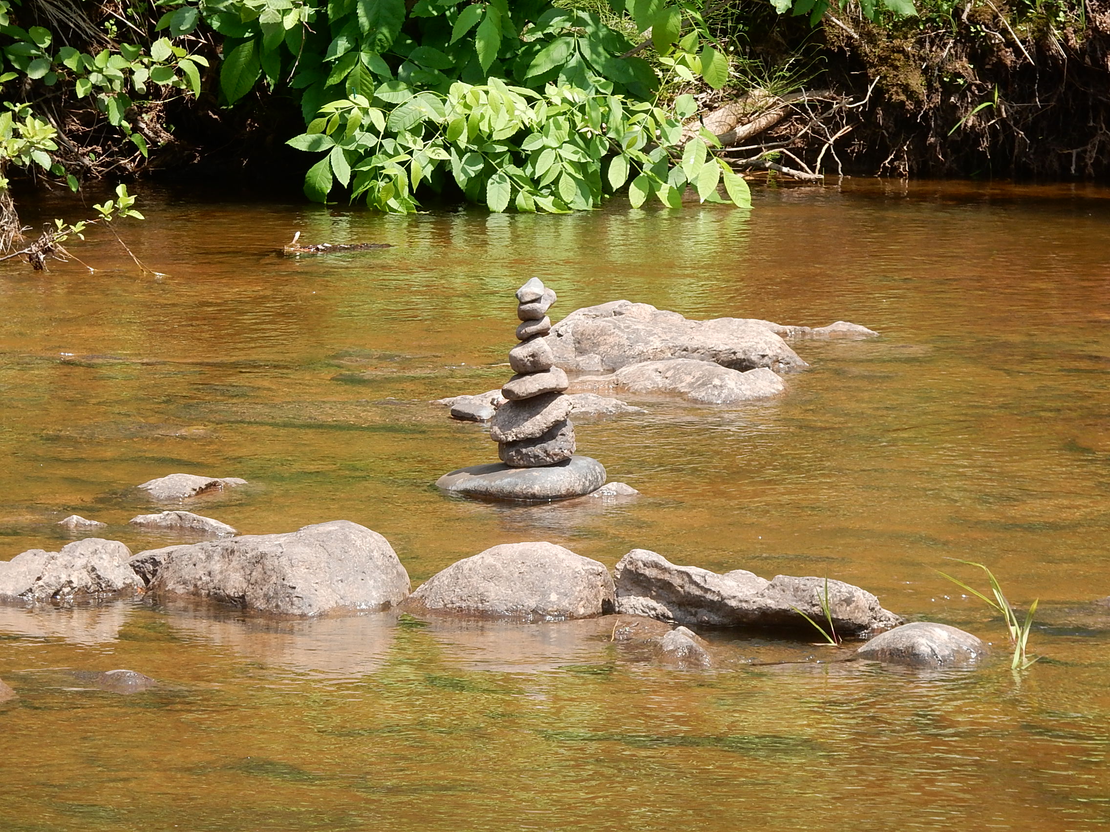
family so it was appropriate that they distributed some "memory  rocks"
for people to take and leave somewhere. Here, near the
intersection of the river and the lake, is where I chose to leave my
rock! While we were soaking up the beauty of the area, we saw a
mother Common Merganser with her brood. They had been poking
around the edge of the shore and, maybe motivated by the presence of
people, she decided to head back up the river. She sure could
move fast! I got a short video but this picture was captured by
Katie. When we got back to the house, Sarah and Sean had arrived and were waiting on the deck! We got them unloaded and settled, had supper. Some watched a movie, some of us just read a while then crashed early. Thursday July 1: 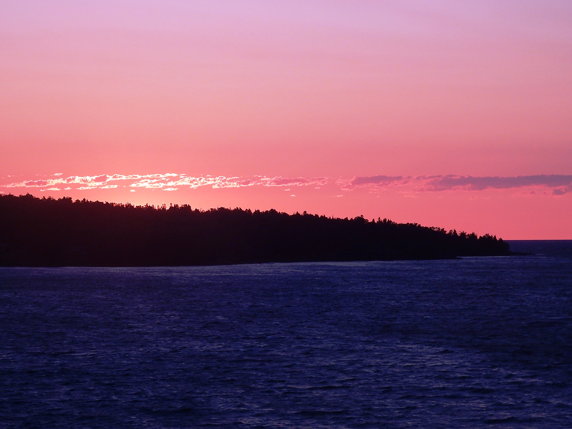 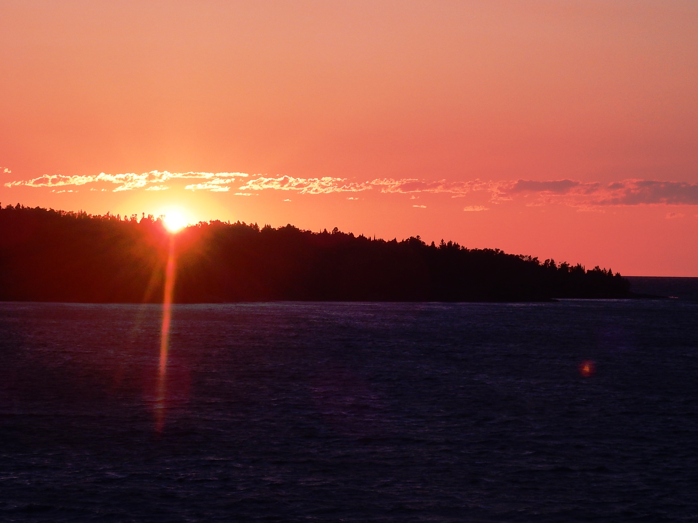 Today
was the only day I was up at sunrise so I thought I should take
advantage of that and take some pictures. I did - then I went
back inside and went back to bed. Funny story: Later, when
I mentioned that I had been up at 5 am and went out to take some
sunrise pictures, Katie said "I did, too!" Apparently we woke up
around the same time, but she just stood on the deck for her pictures,
while I walked across the street. She discovered that she had at
least one picture that included me standing on the hill taking a
sunrise picture and she hadn't even noticed! She also went back
to bed until she had to wake up for work. 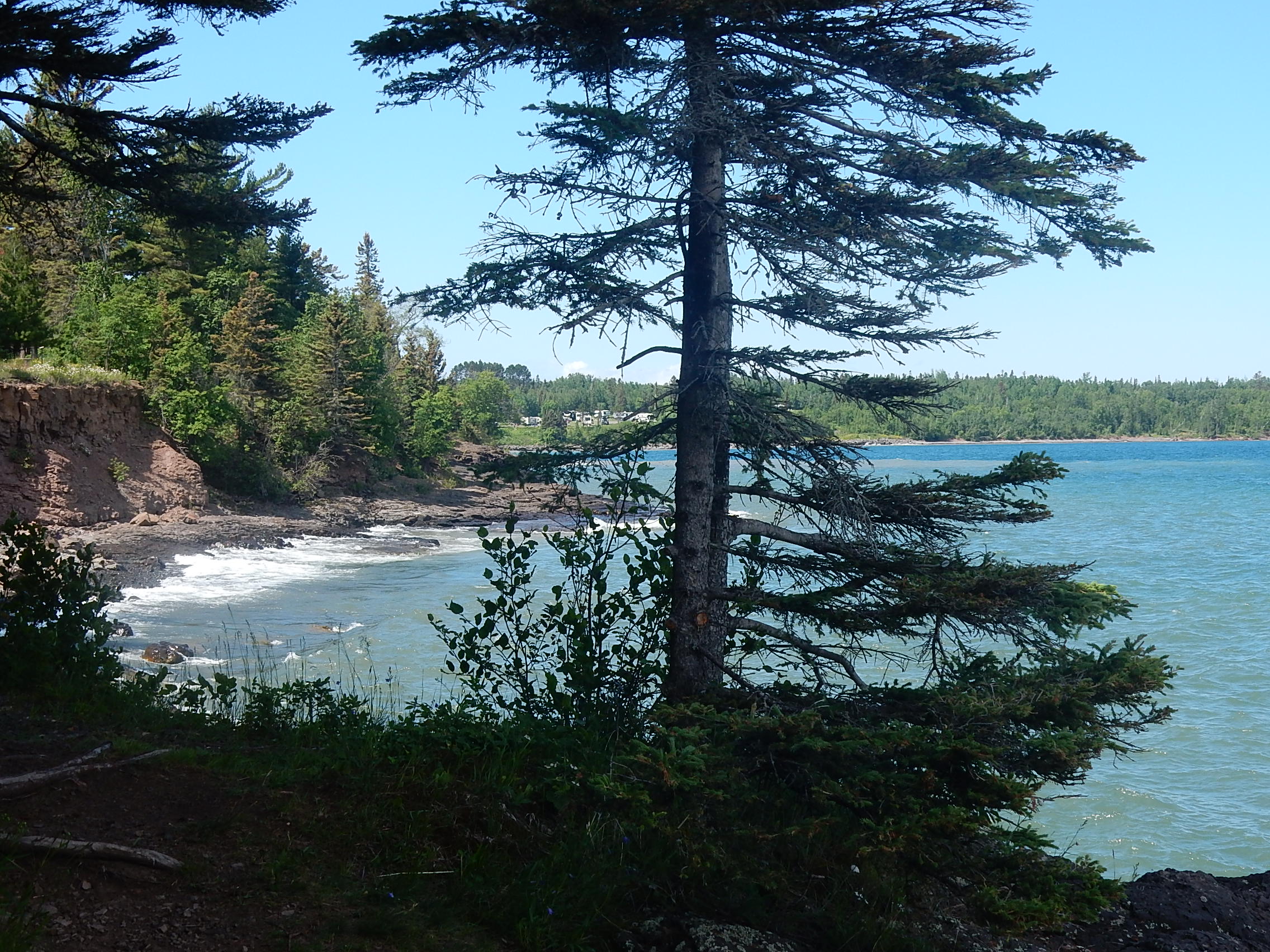 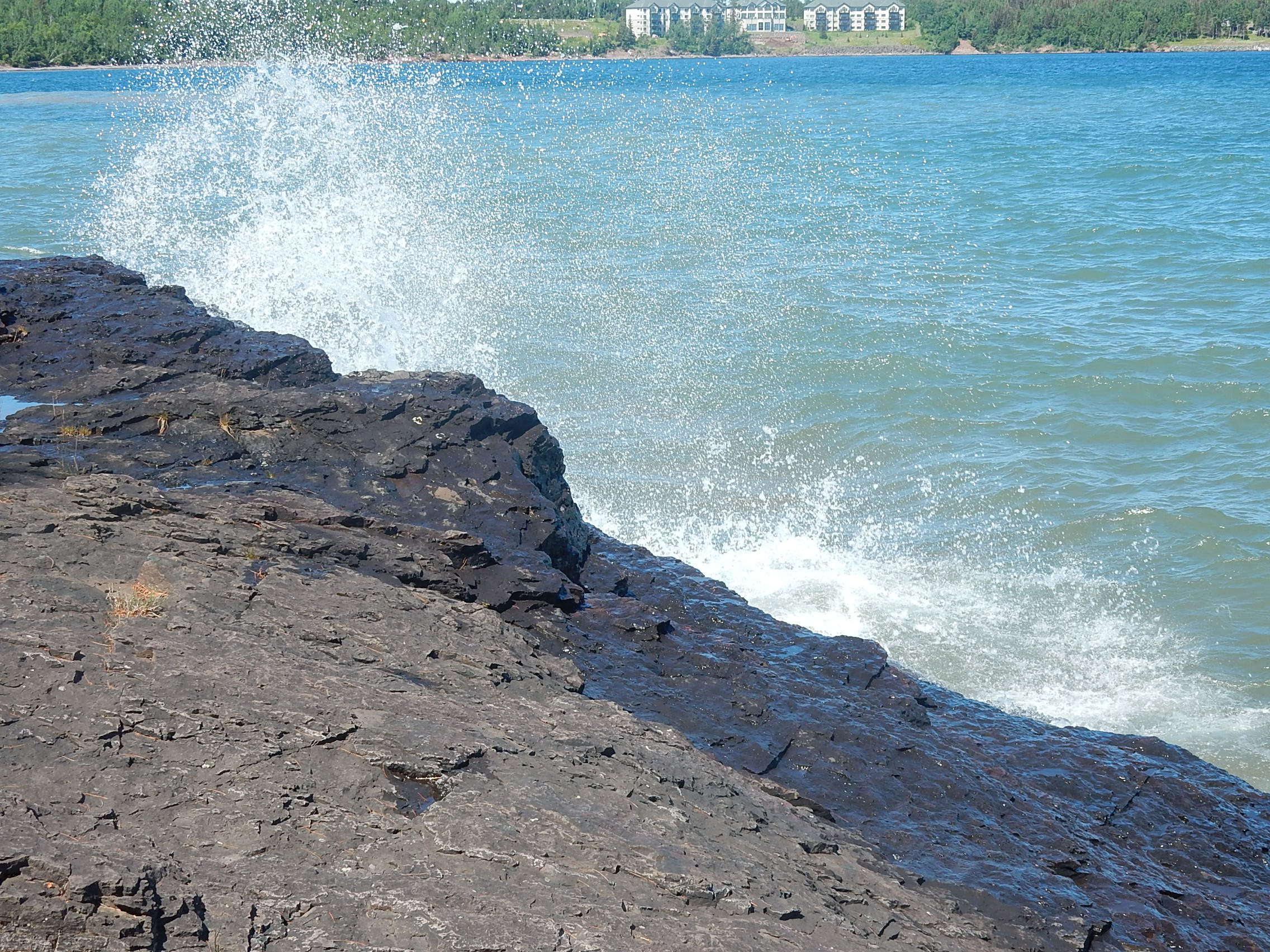 Katie
had to work Thursday and Friday so we had set up a work station in her
room that faced the lake (so she could still feel "sort of" on
vacation) and she had tried out the internet early on to make sure this
would work. So she was busy working all day. We sent Sarah
and Sean to Gooseberry Falls because she has a bum knee and we thought
that was a place she could get to lots of falls pretty easily on the
wooden boardwalks. It was windy and cool out - the first time we
had seen white caps on the lake. John went exploring in town (and
came home with some fudge). I went walking along the shore
starting across the street. There is a trail beyond the paved
trail that goes all along the edge of the bluff. The two pictures
with this paragraph show the wave activity - up to today the lake has
been very quiet and still. I also took lots of wildflower pictures - the only ones I include here are varieties I haven't already shared. Tall buttercup on the left and spreading dogbane in the center. To the right is a "Laker" - a freighter that just loaded up with iron ore at Agate Bay and is heading out into the Great Lakes. 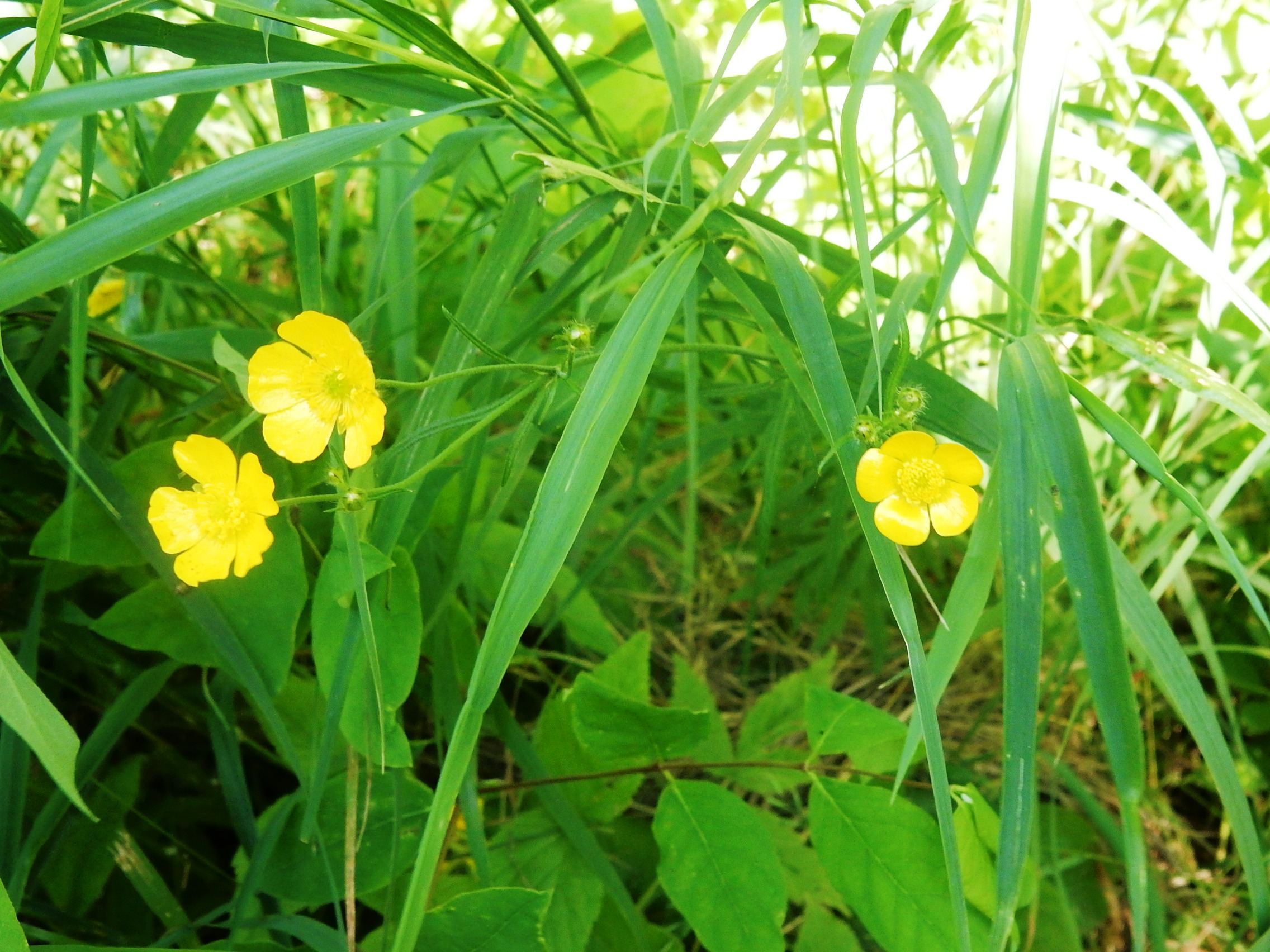 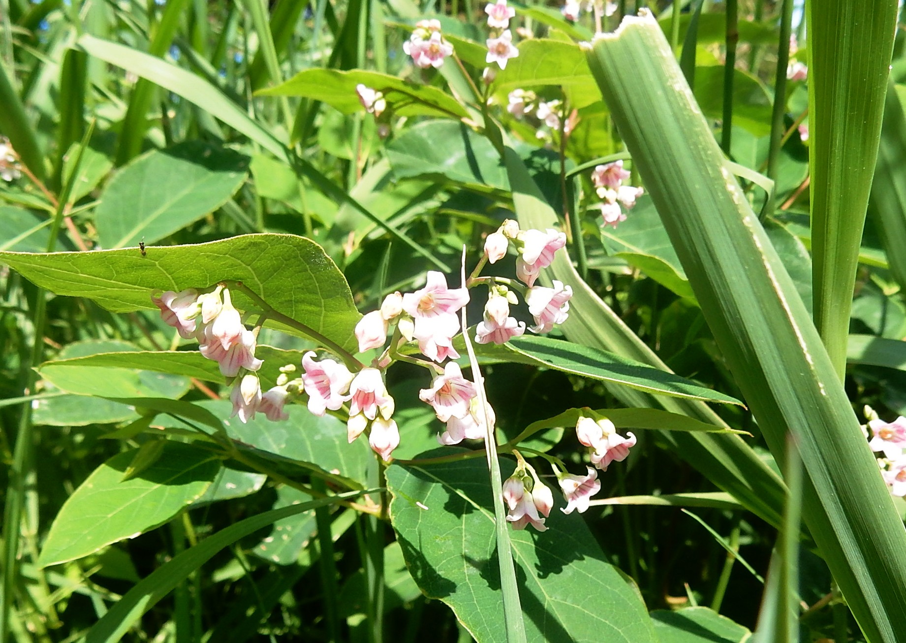  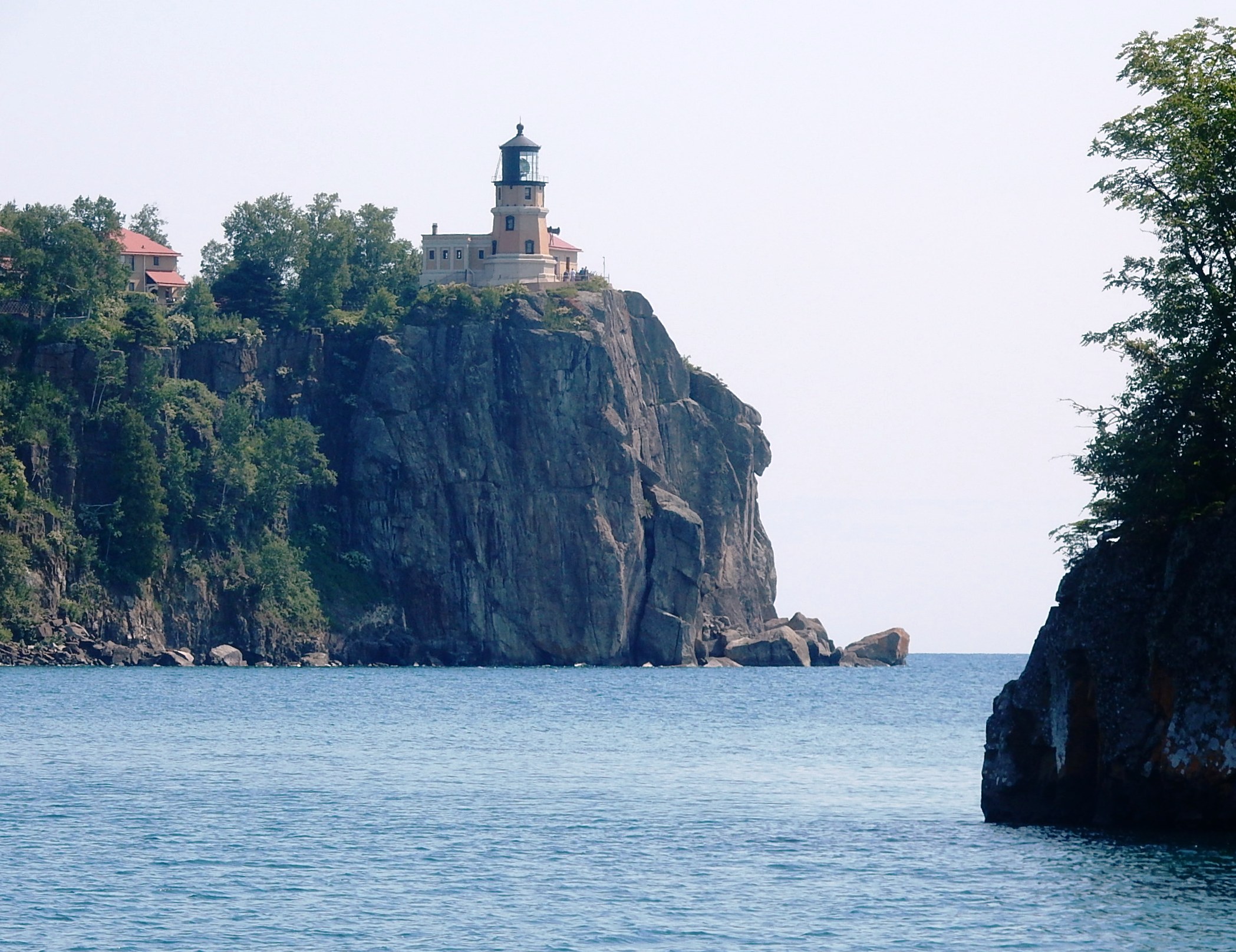 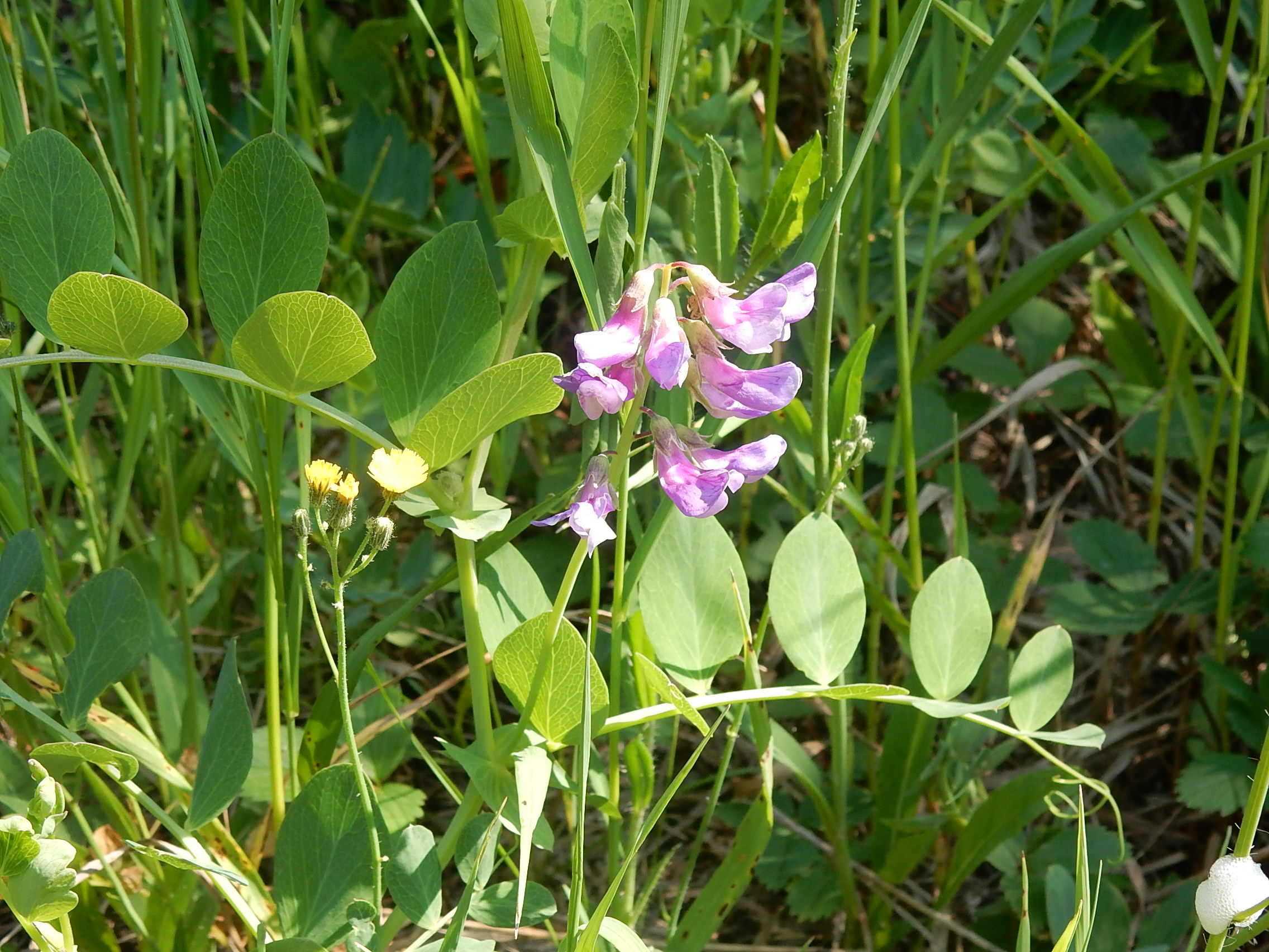 Friday
July 2 Katie was still working today, but the other 5 of us went
off to explore some places we hadn't seen yet. We started at
Split Rock Lighthouse State Park - it's kind of an odd set up because
the historical society controls the lighthouse, parking and the visitor
center and there is an admission fee, beyond the state park fee, even
to just walk around it. We didn't want a tour, so we turned right
and went on down the park road towards the campground and discovered
what they call the Trail Center. It wasn't staffed but it had
parking (remember we already had an annual park pass so we were okay
there), nice modern restrooms, some bulletin boards, trail maps and
some meeting rooms. We used the restrooms and then walked down to
Pebble Beach where we got nice views of the lighthouse (left) and
Ellingsen Island and then walked along Day Hill Trail for a while where
we found more flora - beach peas (right).  When
we got hungry, we drove down to Silver Bay where we had our lunch at a
picnic area there, then went in search of Black Beach. Turns out
that was a very popular destination that afternoon and the parking lot
is quite small - so there were cars all along the road for a quarter
mile or so. Some thought that was too far or too many people but
I was determined to at least SEE it so we parked at the end of the long
line and a couple of us walked back. Because it's a large beach
it really didn't seem very crowded in spite of the dozens of cars - it
was a nice, family recreation area with rocks to climb on, water to
play in, lovely views. The black color (really kind of gray) is
from taconite tailings (low grade iron ore) that were dumped in the
lake at the end of the mining process . They stopped the dumping
in 1980 (the tailings are disposed of on land now) and now the water is
clear and safe to use. We didn't stay long since there were
others waiting in the car for us but it would be a nice place to spend
some time! 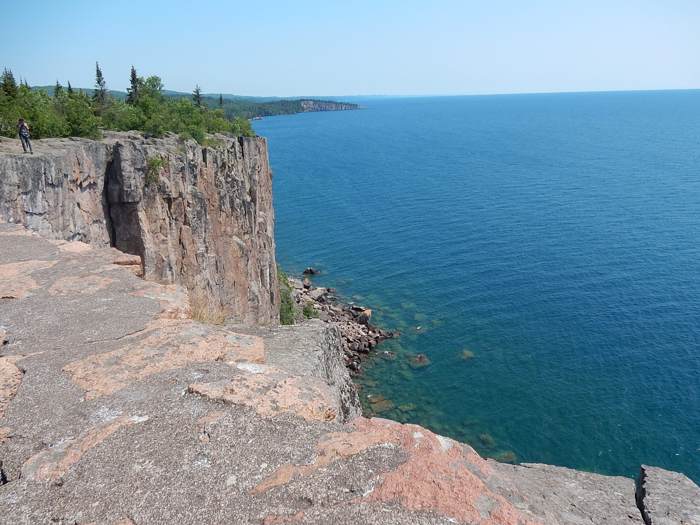 Next
stop was Palisade Head - huge cliff used by rapellers and climbers, but
also known for its views. There is a narrow, steep road up to the
top but as we turned into the lower parking lot, a large truck was
coming down and that spooked some in the group who didn't want to meet
a truck on a one-lane road going up a mountain! So we parked in
the lot by the road and walked up. It's steep, but only took
about 15 minutes and there were nice views and flowers along the road,
too. So, at the right is one of my views from Palisade 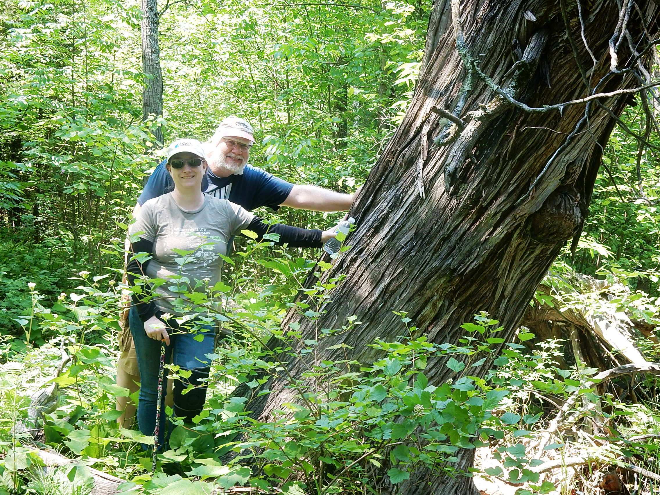 Head
- the point you can see sticking out into the lake is Shovel
Point at Tettegouche State Park where we hiked a few days ago.
(Click to enlarge it and you can see it better!) The last sightseeing stop for the day was at Beaver Falls. We have a couple of books that were generally pretty accurate about trails and locations but we were misled on this one! It only took a few minutes to realize that this was NOT a good trail for Sarah and her knee. Very narrow, overgrown, rocky. However, she is sometimes stubborn (wonder where she gets that?) and was determined to push on. The picture above, left, is her "See, I can, too, do it!" picture. And here are a few pictures from the trail as we followed it along the river.  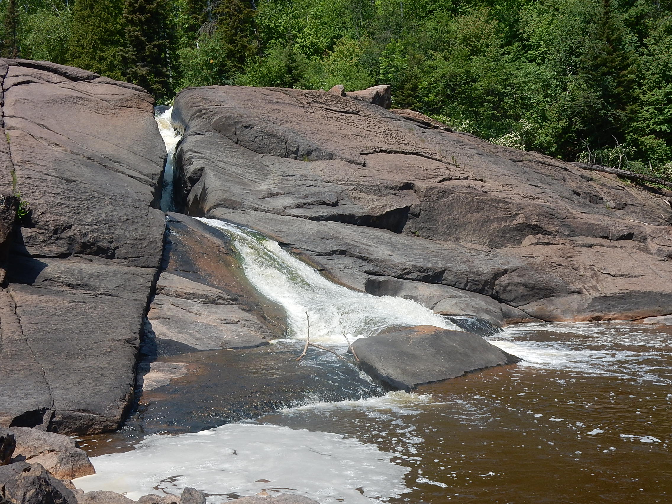 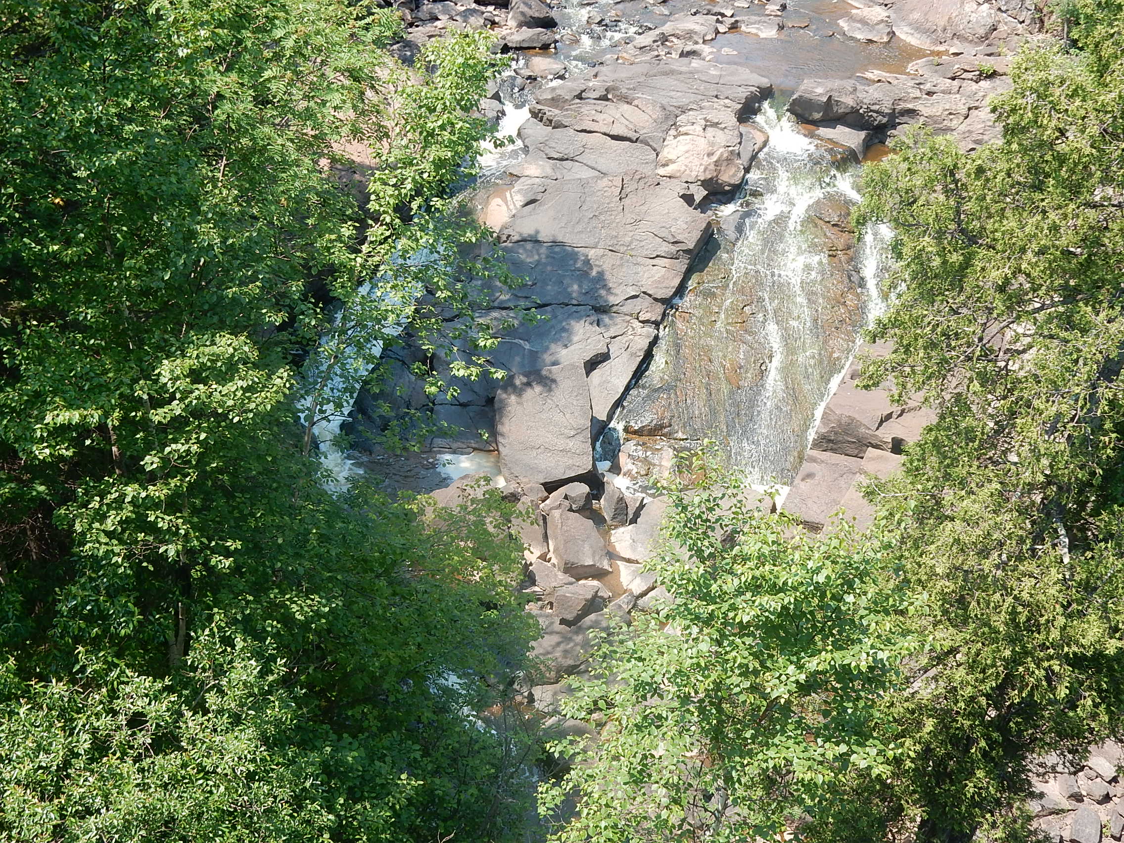  see
all 3 significant falls!! (Pictured below on the left.) Now
I understand why the book said the distance from the parking lot was
"<.2 miles" and it was an "easy walk!" Shaking my head.
(Click to enlarge the picture and you can see all 3 falls and the pool
at the bottom.) 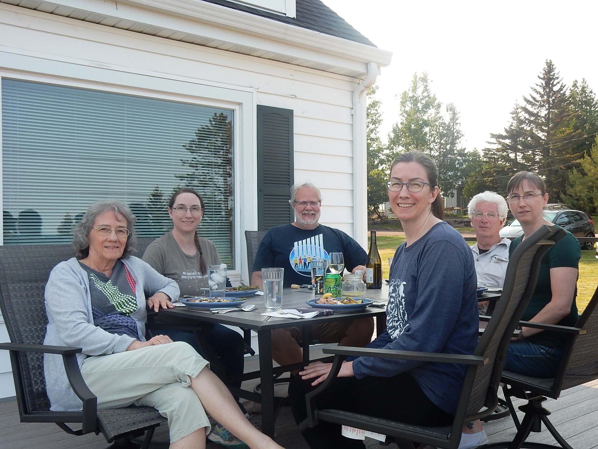 One
more stop on the way back was at Betty's Pies. We took a count
and ended up with a whole strawberry- rhubarb pie and 3 additional
slices of different types. Oh yum. Our consensus (your
opinion may vary) was that these were better than the Rustic Inn.
Sarah spent the rest of the afternoon and evening elevating and icing
her knee. Sean grilled salmon and steak for supper and we ate out
on the new deck! And I did manage to get a "whole family"
picture. That was just in time because Bekah and Sarah and Sean all
left the next day. Partly because of animals at home (and
traumatic July 4 noise coming up) and partly to get ahead of the big
traffic after the holiday. 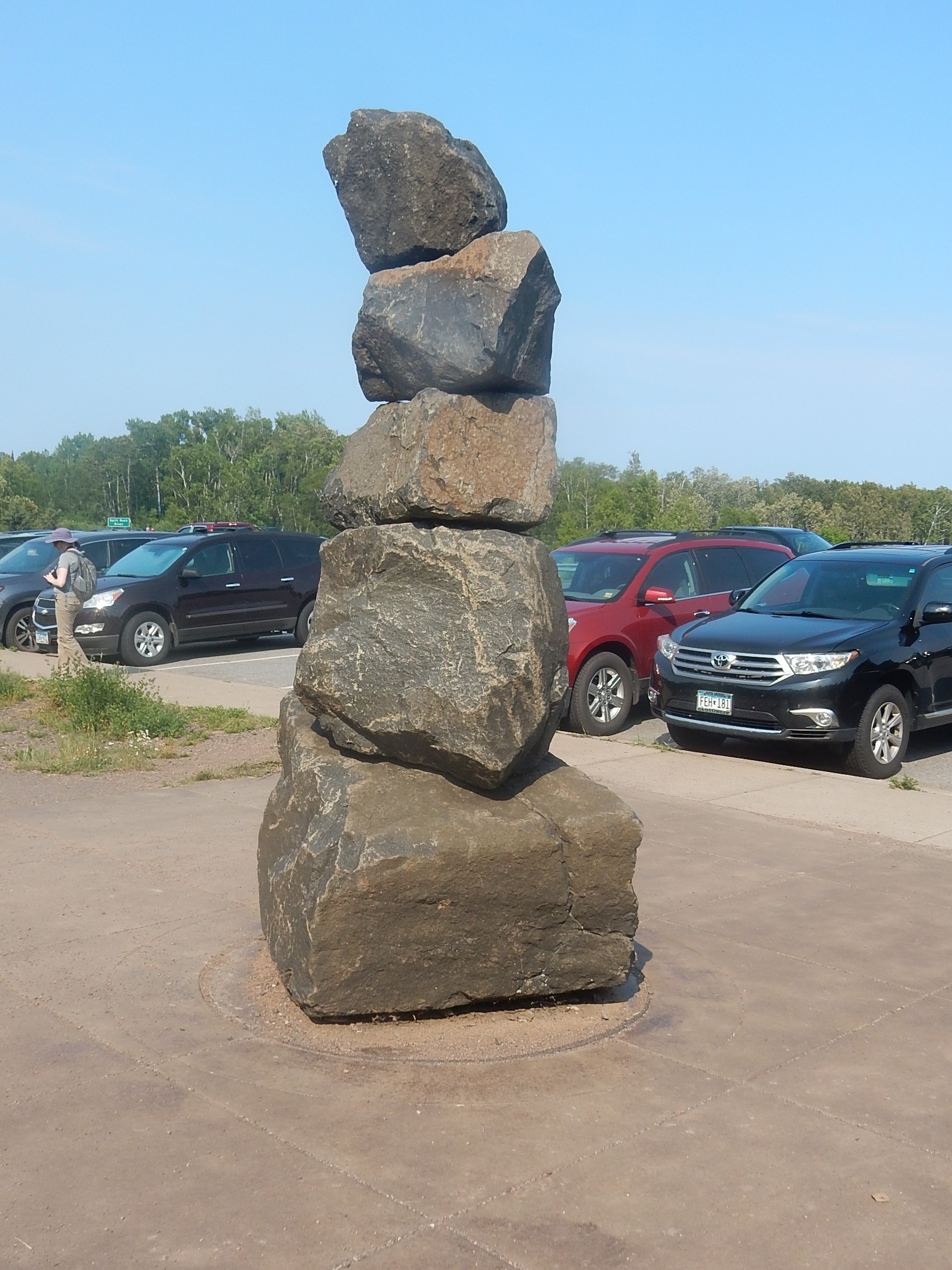 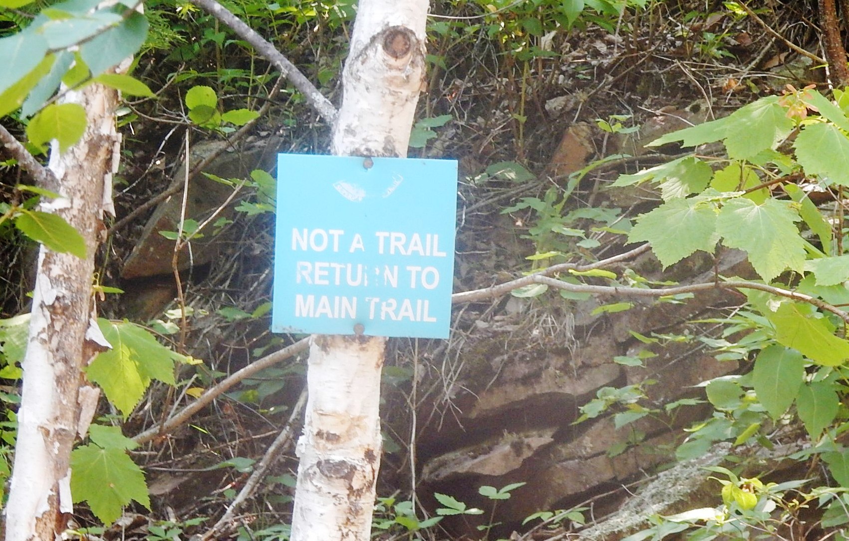 Saturday
July 3 - The departing crew got packed up in the morning and left after
lunch; John, Katie and I set off for the Split Rock River in the
afternoon. The trailhead is easy to find as it starts at a
wayside along Hwy 61 and sports a giant cairn (left) in case you aren't
sure it's the right place! According to the Superior Hiking Trail
sign, we hiked up the river about 2 miles, mostly following the trail,
but also going off onto some little spurs. The sign at the right
was at the last spur we followed to a nice waterfall and that was where
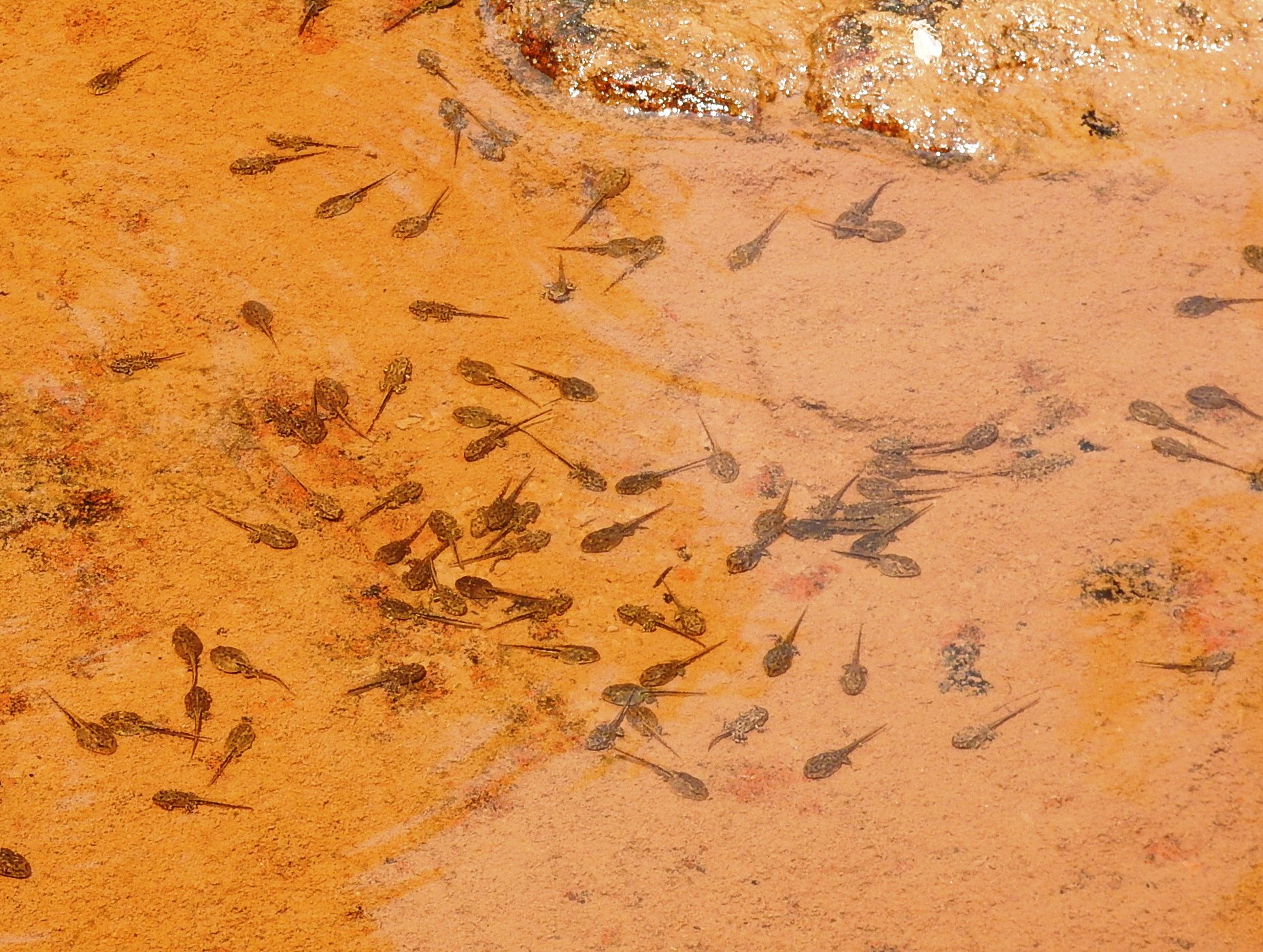
we decided to head back down. It was a lovely day, though hot, and a great hike. We kept stopping to go play on the rocks, check out the flora and fauna. Here are some of the views from along the way - just the river, what I call the "frog nursery" picture - if you enlarge and look closely you can see the tadpoles at many stages of development, and a view looking back up the river at 3 of the falls we visited (again, a better view if you click to enlarge). Just beyond the last one is where the "turn back" sign was! There are many more from this hike in the "Photos with Brief Commentary" section. 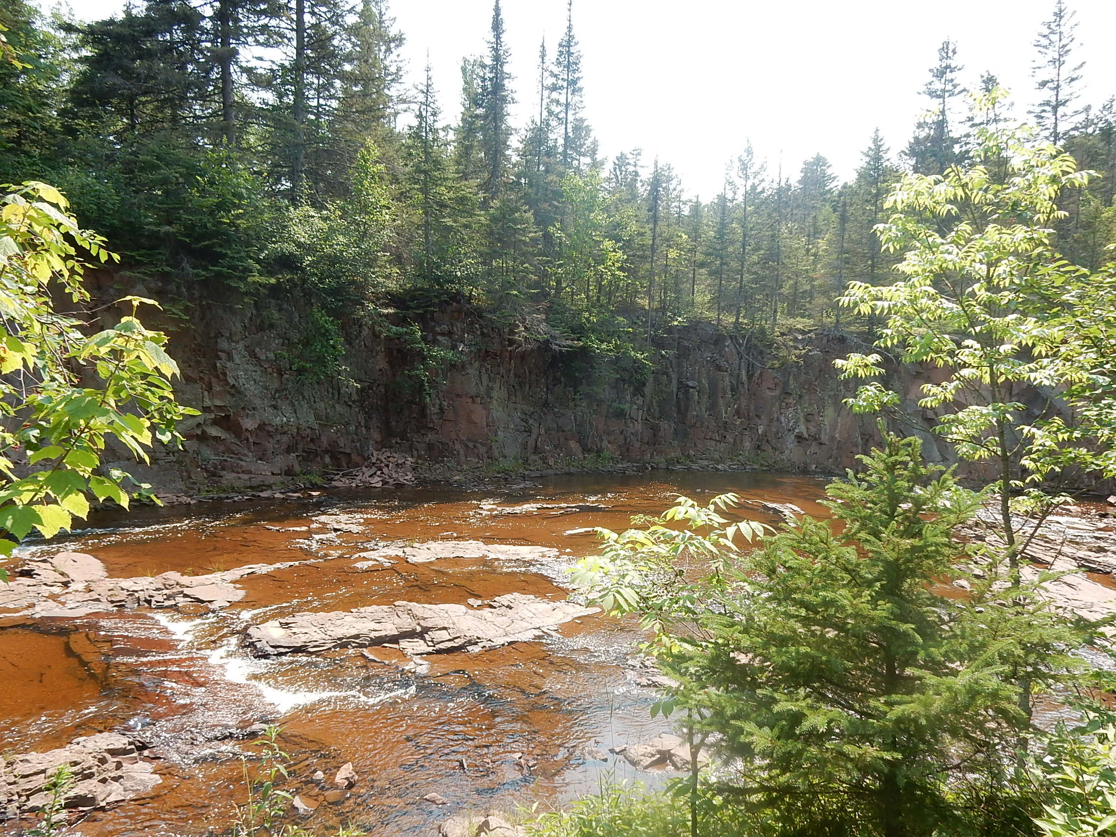
 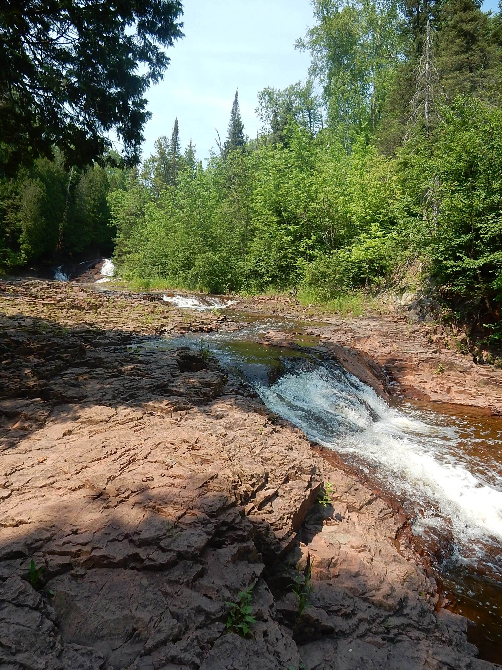   Along
the way, this is what we did when we paused - Katie and I took lots of
pictures (she took the selfie) while John sat on rocks and just enjoyed
himself! It was a really hot day so we enjoyed stopping along the
cool, flowing river - and then when we got back to Two Harbors we
treated ourselves to GREAT ice cream at Lou's Fish House.
Yes, really. They have great smoked fish and cheese but also a
good ice cream selection and a couple of tables outside where we could
enjoy it in the shade! Fortunately, we were just having leftovers
for supper, so there was no urgency about getting back to prepare it! 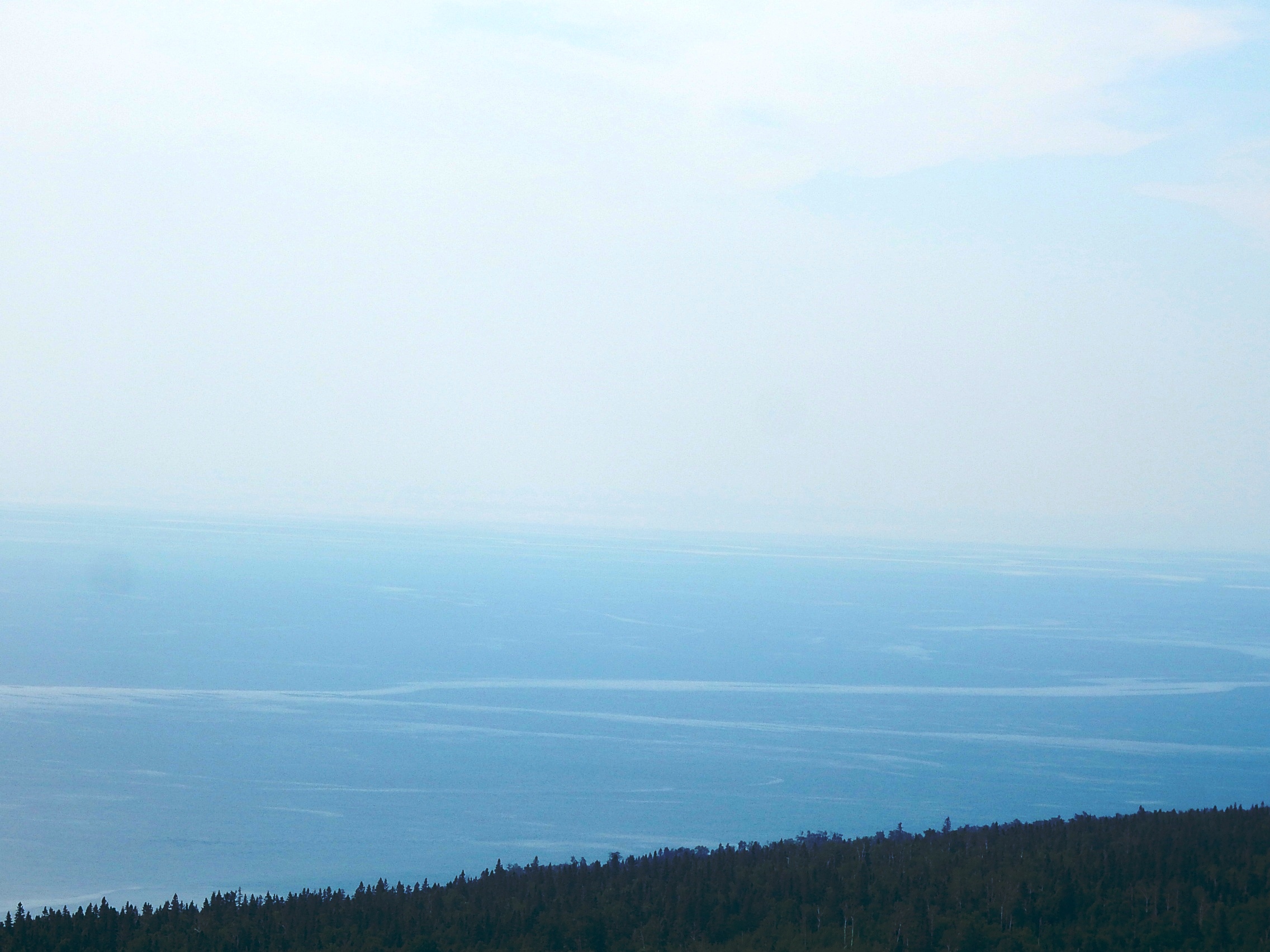 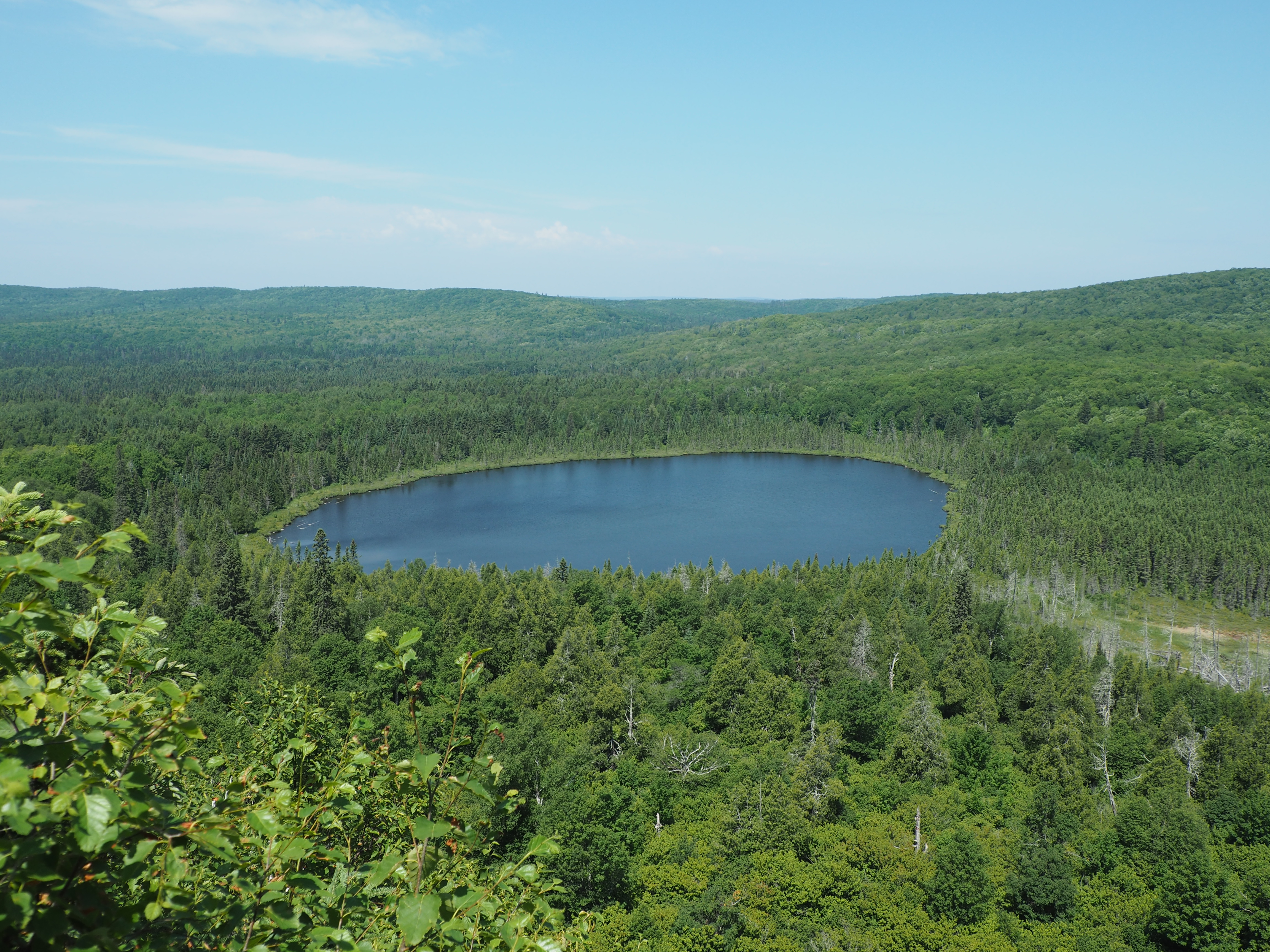 Sunday July 4 Another beastly hot day but we were
determined to fit another hike into the time we had left! We started with the
Oberg Mountain trail. This one was different in that we weren't
following a stream or river - just climbing a mountain! For the
first half we had lovely views of forest and Lake Superior as shown at
the left. The sky was overcast so it wasn't as stunning as it
could have been, but still rewarding. At roughly the half way point, we
come to Oberg Lake which is a lovely view. You can see that it is
sunnier and the sky is mostly blue by now. As always we were
interested in the flora and fauna we came across.   We passed a lot of red baneberry which is
pretty stunning (at the right). We found a comfortable, large, log in the shade where we
had our lunch and
then finished up the hike. When we got back to the parking
lot, we encountered a family of evening grosbeaks that are also pretty
eye-catching! They were so interested in whatever they were
picking
up from the gravel that they didn't pay much attention at all to us.
The one on the right is clearly a male, the other is either a female or
a youth. After we had our fill of admiring them, we went
back to the highway and found the trailhead
for the last hike - the Onion River Trail.  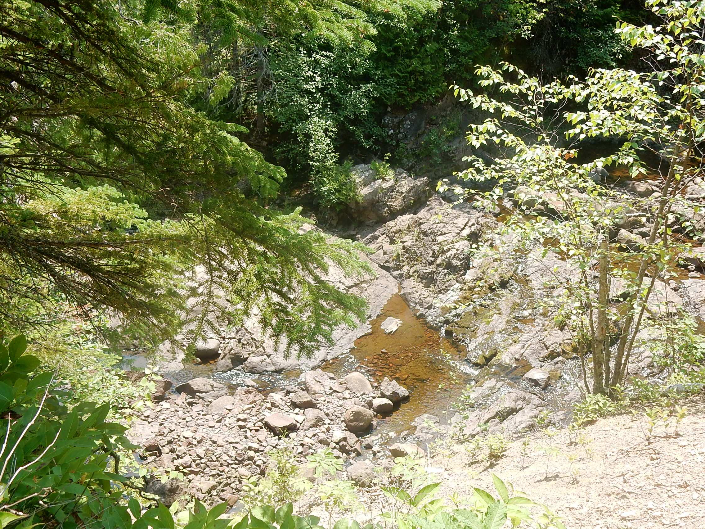 Onion River was a little disappointing because we were
so far above it, it was a low water time, and the foliage was so
dense, that we really couldn't see very much of it. But the trail
was full of interesting plants and insects. The flower to the
left is known as Fireweed and to the right is a view of a small pool at
a turn in the river. Knowing this was our last day of waterfalls, we made one more stop at Cross River Falls. This is another "easy" one where you can see the falls from the road and don't have to work for the view (below)! On the way back to 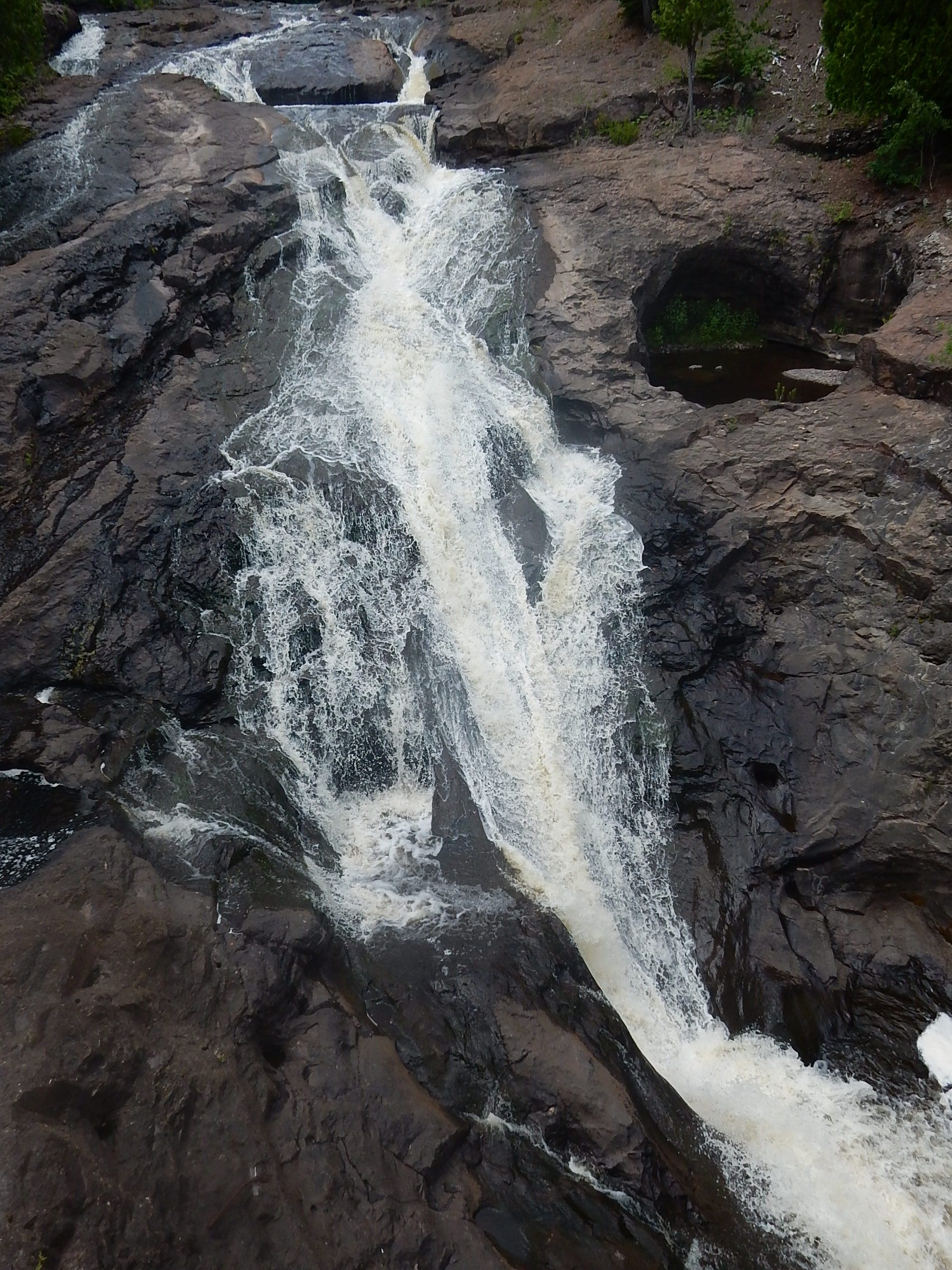 Two
Harbors we also stopped at an Agate Shop in
Beaver Bay - like many such places, they have some particularly large
or beautiful specimens on display so it was interesting to
browse. After dark, we were able to see most of the city
fireworks from our house without encountering the crowds of people or
mosquitos. That's a win! Monday July 5 - We all started packing up in the morning. We had a great lunch at Blackwoods Grill. Our initial thought was to eat on the patio (covid safety) but it was another 90° day and so we elected air conditioning instead. Great food and great service. We learned about the heavy traffic on the way to the grill (it is, after all, the end of the holiday weekend) so, when she left that afternoon, Katie took a "back way" to get to the highway at a light so she could make the left turn! John and I just finished cleaning up and packing so we could load the car pretty efficiently the next day. We didn't encounter any traffic problems when we left in the morning (Tuesday July 6). We stopped and ate our packed lunch at a nice rest area just before I35 splits, north of the Twin Cities. It was raining, but not hard, and we had a pleasant, uneventful drive home. And I think we want to go back - maybe stay a little further north next time for easier access to the part of the "north shore" we didn't visit this year! Click here to return to Part I |