 Monday
July 1: After spending a few hours at Missisquoi Wildlife
Refuge,
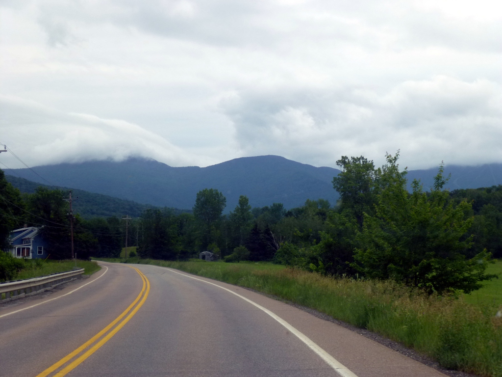
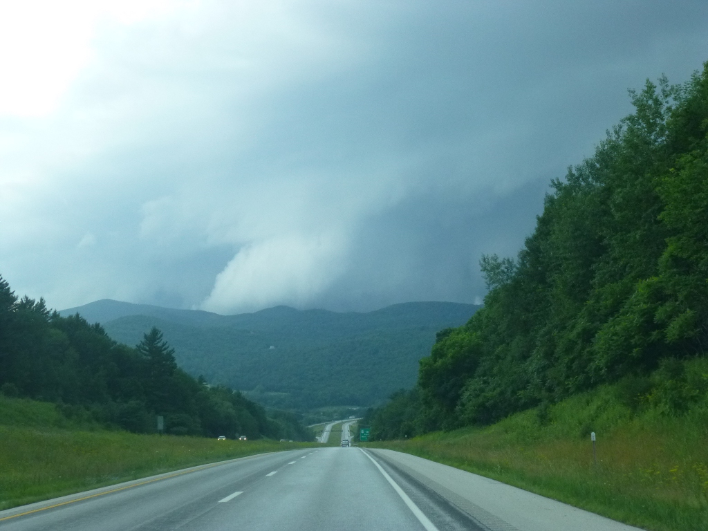
we moved on to Smuggler's Notch State Park. The weather says
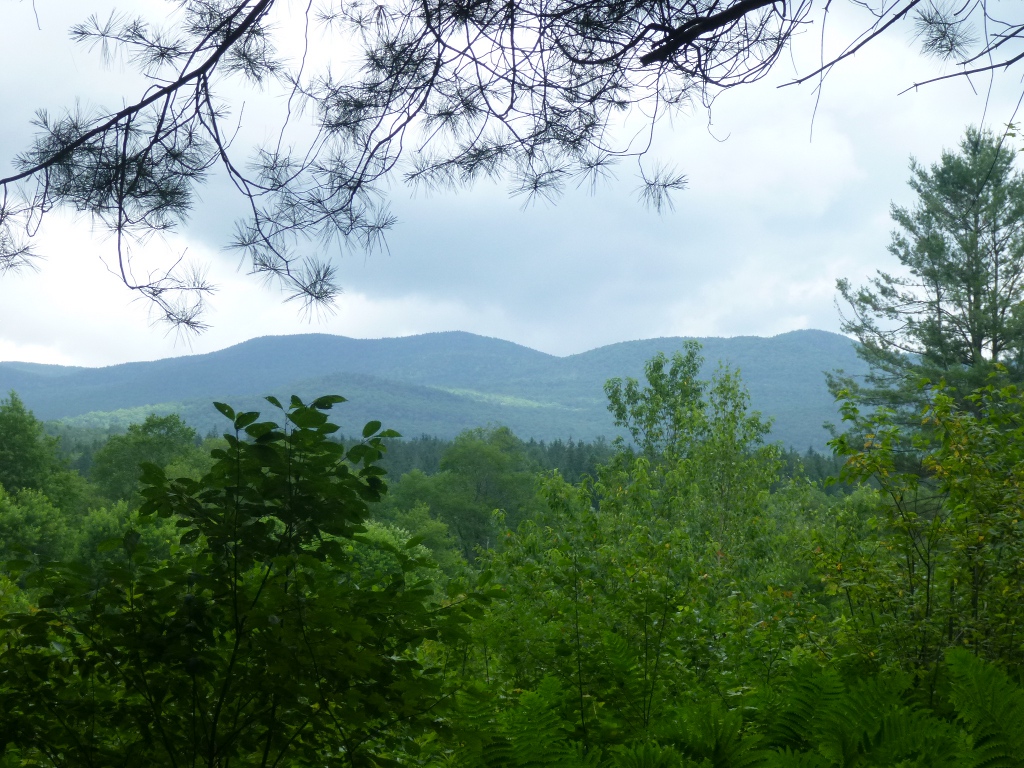
rain, rain, rain - and heading into the Green Mountains the appearance
was consistent with that (picture at right) - so we didn’t make any
other sightseeing stops - just wanted to get the tent set up before any
rain came. We did stop for lunch in Swanson – John
got a
sandwich at Dunkin Donuts and I ate the lunch I had packed this
morning. We did stop at a Vermont Maple place along Hwy
104
north of Mansfield Forest where John had a maple “cremey” (soft serve
ice cream) and bought some maple syrup and a maple candy. We
are
in Vermont, after all! Monday
July 1: After spending a few hours at Missisquoi Wildlife
Refuge,
we moved on to Smuggler's Notch State Park. The weather says
rain, rain, rain - and heading into the Green Mountains the appearance
was consistent with that (picture at right) - so we didn’t make any
other sightseeing stops - just wanted to get the tent set up before any
rain came. We did stop for lunch in Swanson – John
got a
sandwich at Dunkin Donuts and I ate the lunch I had packed this
morning. We did stop at a Vermont Maple place along Hwy
104
north of Mansfield Forest where John had a maple “cremey” (soft serve
ice cream) and bought some maple syrup and a maple candy. We
are
in Vermont, after all!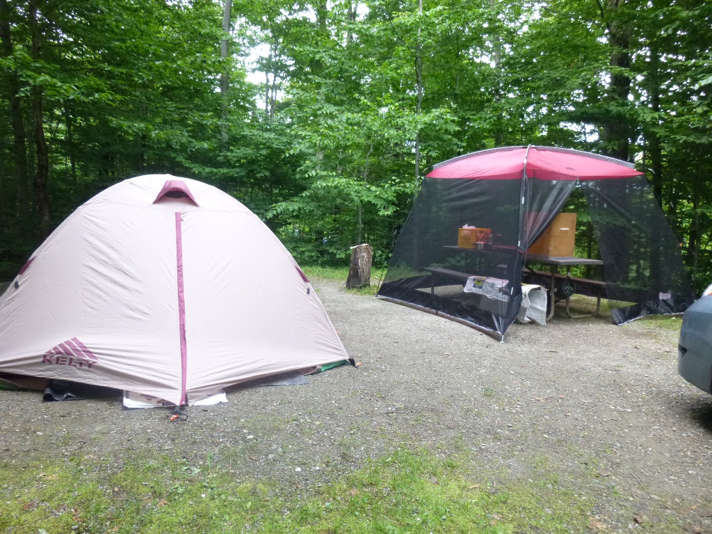 So
we got to Smuggler’s Notch State Park, down VERY twisty and
narrow
Hwy 108, around 2:30 or so. We got the tent up, the bed made,
the
screen house over the table; pretty well set up for the evening before
it started to sprinkle. We were able to fix supper
(chili)
and get things put away before the real rain came. So
we got to Smuggler’s Notch State Park, down VERY twisty and
narrow
Hwy 108, around 2:30 or so. We got the tent up, the bed made,
the
screen house over the table; pretty well set up for the evening before
it started to sprinkle. We were able to fix supper
(chili)
and get things put away before the real rain came.We made our site reservations long ago - figuring they would be crowded during the holiday week. That was right - the camp is totally full tonight! One of the reasons we picked this site #7 was its proximity to the restroom. But it’s one of those "you can’t get there from here" things! The sites are very secluded and wooded, 15 feet or so back off the road, which is nice because it doesn’t feel crowded. But the only way to get to the restroom, which is quite close as the crow flies, is to walk back out to the road, go down two sites and then turn into the restroom "lane" and hike into the woods again! Fortunately it is only two sites away so it's not too long. It just made me laugh when I looked around and said "Oh, so much for that good idea." Tuesday July 2 It rained all night as far as I could tell. We had a little water seepage on my side of the tent but just the floor was wet, the rest was okay. Happily it stopped before we got up, though it was so foggy that we awoke in a cloud! Before we start hiking, I should introduce our guide for much of this trip. We used New England Waterfalls - a book (by Greg Parsons and Kate B. Watson) that we highly recommend. Without it, we would not have found most of the wonderful falls we visited! They also have a web page that includes much of the content of the book as well  as updates they
have added since the book was published. We found it very
complete
and mostly accurate, though of course, some things change - trails are
re-routed and areas become inaccessible. But it was
great fun for us as updates they
have added since the book was published. We found it very
complete
and mostly accurate, though of course, some things change - trails are
re-routed and areas become inaccessible. But it was
great fun for us 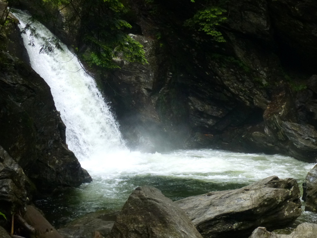 -
something like a Treasure Hunt to track down some very obvious and
some obscure waterfalls! -
something like a Treasure Hunt to track down some very obvious and
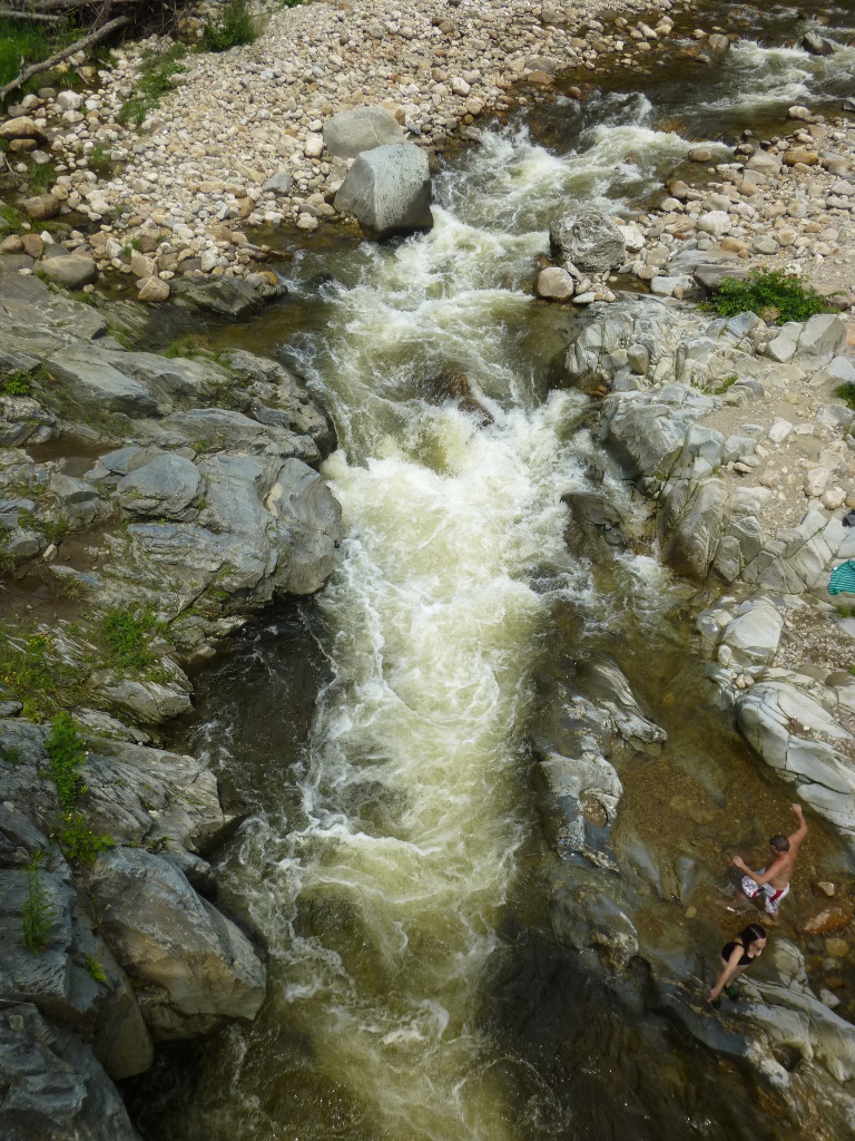
some obscure waterfalls!Today’s prediction was 70% chance of heavy rain so we elected not to do a long hike, but rather, several shorter ones – on the theory that we’d always be within sprinting distance of the car in case of a major downpour! As it turns out, it only drizzled a little so we lucked out. We started out at Bingham Falls which is very close to the campground. 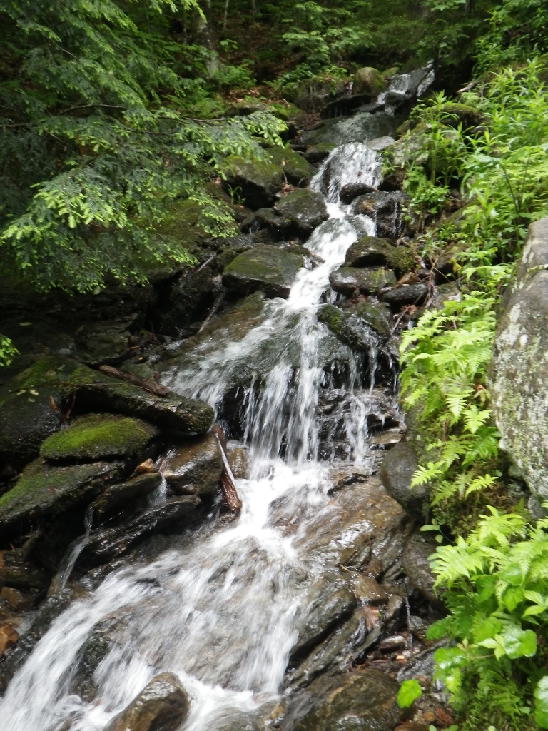 The
walk, along the West Branch of the Waterbury River (above,
right) from the parking area was
less than half a mile and the falls were stunning. You can
see in
the picture of the falls above, left, that it was a fairly short plunge
but it emptied into a beautiful pool. (That's a picture that might be
worth enlarging just for a better look at the pool and the sparkling
teal color of the water.) Just standing near the spray was
refreshing! The
walk, along the West Branch of the Waterbury River (above,
right) from the parking area was
less than half a mile and the falls were stunning. You can
see in
the picture of the falls above, left, that it was a fairly short plunge
but it emptied into a beautiful pool. (That's a picture that might be
worth enlarging just for a better look at the pool and the sparkling
teal color of the water.) Just standing near the spray was
refreshing! 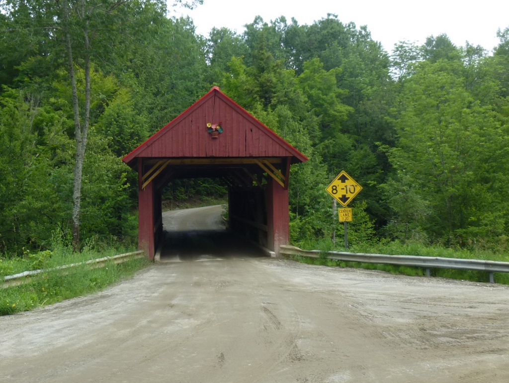 One nice thing
about so
much rain is that it makes for very nice waterfalls! Besides
the main falls, there were lots of small tributaries that, in
other places, would be
considered "falls" in their own right, as seen at the left. One nice thing
about so
much rain is that it makes for very nice waterfalls! Besides
the main falls, there were lots of small tributaries that, in
other places, would be
considered "falls" in their own right, as seen at the left.Next was Sterling Brook Gorge. On the way to and from this gorge we passed a wooden covered bridge – the "road not taken" but we did take a picture of it, shown at right. At the start of the trail is a nicely kept old graveyard (at left) –  the large stone you
can see is labeled "Anderson" but there are
other flat ones in the small yard. the large stone you
can see is labeled "Anderson" but there are
other flat ones in the small yard. 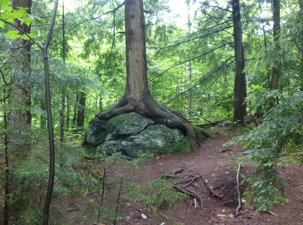 This
would be a great walk for kids of middle school age and up, as there
are interpretative signs, about the geology and rocks in the gorge
among other things, all along the trail. To the right is one
of
many "trees hugging rocks" that we saw during our hikes in New
England. At the end of the trail are some wooden steps; take
a
left
at the bottom and you end up at a nice little stream-side picnic
table. There were lots of small falls and cascades
all along
Sterling Brook (like the one at the right below. We also saw a
tiny hyper active bird near the picnic table – it seemed like a little
chickadee type of bird but I couldn't catch a picture. This
would be a great walk for kids of middle school age and up, as there
are interpretative signs, about the geology and rocks in the gorge
among other things, all along the trail. To the right is one
of
many "trees hugging rocks" that we saw during our hikes in New
England. At the end of the trail are some wooden steps; take
a
left
at the bottom and you end up at a nice little stream-side picnic
table. There were lots of small falls and cascades
all along
Sterling Brook (like the one at the right below. We also saw a
tiny hyper active bird near the picnic table – it seemed like a little
chickadee type of bird but I couldn't catch a picture.
 One of the
most picturesque of the many small falls along the gorge is
shown below, left. One of the
most picturesque of the many small falls along the gorge is
shown below, left.  I
think it
was driving from here to Terrill Gorge that we saw a fox zip across the
road - too fast for a picture but worth noting
anyway! We
were forewarned in the waterfalls book that there was a river
to
forge to get to Terrill Gorge. And, after the heavy
rains all spring, it was fairly deep and quick moving. So,
though the
first part of
the trail was a pleasant stroll, we then had to trade shoes
to
get across the river.
John used his all-purpose Crocs and I used my swim shoes – and thank
goodness for
hiking sticks to help me keep my balance! It was over John’s
knees (see the picture below left, taken after we got across) and, of
course, higher than
that on me. And cold. But neither of us fell in; we
didn't
lose any cameras or phones!
Yay! I
think it
was driving from here to Terrill Gorge that we saw a fox zip across the
road - too fast for a picture but worth noting
anyway! We
were forewarned in the waterfalls book that there was a river
to
forge to get to Terrill Gorge. And, after the heavy
rains all spring, it was fairly deep and quick moving. So,
though the
first part of
the trail was a pleasant stroll, we then had to trade shoes
to
get across the river.
John used his all-purpose Crocs and I used my swim shoes – and thank
goodness for
hiking sticks to help me keep my balance! It was over John’s
knees (see the picture below left, taken after we got across) and, of
course, higher than
that on me. And cold. But neither of us fell in; we
didn't
lose any cameras or phones!
Yay! On the other side of the river, we walked along the edge of a field; as the trail goes back into the woods it was total mud. I'm glad we didn’t bother changing our shoes back! They were very nice falls – not high, but wide, and emptying into in a lovely pool as Kenfield Brook met the Lamoille River. When we got back to the car we dried off and changed shoes. I changed my jeans, too, because they were just too soaking and muddy. We had a picnic lunch right there in the pulloff and then headed for the last falls of the day. 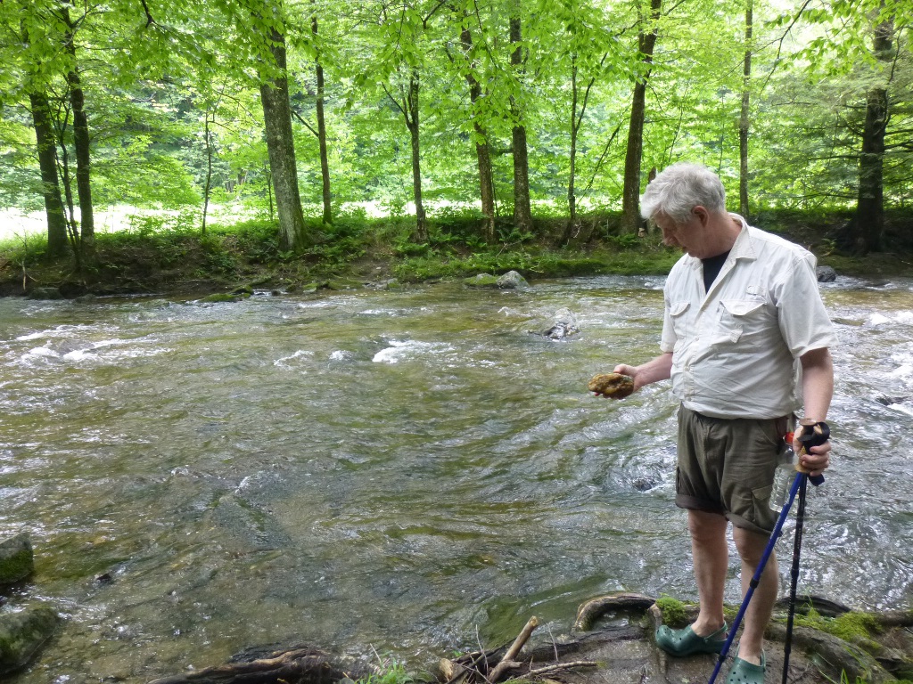
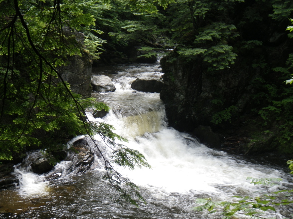 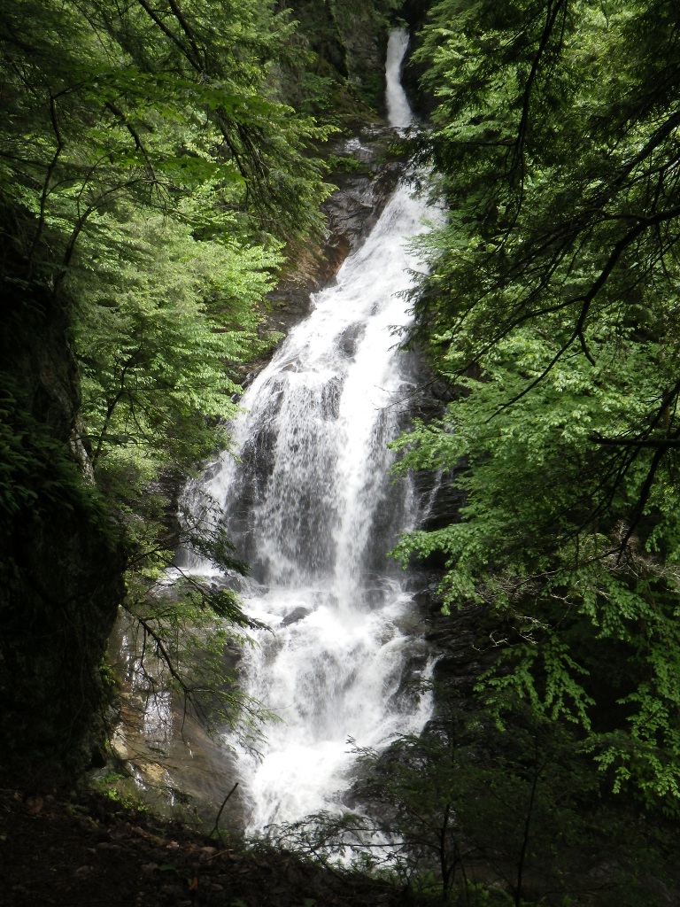 The
last stop was Moss Glen
Falls (in CC Putnam State Forest). Again, it was
only about a
half a mile hike, with some mud but not nearly as
bad as the Terrill Gorge trail! The
last stop was Moss Glen
Falls (in CC Putnam State Forest). Again, it was
only about a
half a mile hike, with some mud but not nearly as
bad as the Terrill Gorge trail!  The
trail runs along Moss
Glen Brook (at left) so John
spent a bit of time along the shore seeking driftwood or
rocks.
Then
comes a very steep climb up to a ridge and suddenly, there are
the
falls: a stunning 125 foot drop, pictured at the right! By
the
way, this was the first time all day that we saw other people on the
trail. At the first three locations we had the whole place to
ourselves. The
trail runs along Moss
Glen Brook (at left) so John
spent a bit of time along the shore seeking driftwood or
rocks.
Then
comes a very steep climb up to a ridge and suddenly, there are
the
falls: a stunning 125 foot drop, pictured at the right! By
the
way, this was the first time all day that we saw other people on the
trail. At the first three locations we had the whole place to
ourselves.As we drove back through Stowe we stopped at the grocery store (Shaws) and picked up a few items. We also got directions to the laundromat – that’s on the agenda for tomorrow morning since we now have too many wet clothes that will begin to stink soon! I cooked the chicken, broccoli and noodles as soon as we got back to camp so I would just have to do the sauce quickly in case heavy rains showed up. There is nothing in the literature about bears and there are no "bear boxes" here in the camp so we asked the ranger about it - he said there are bears around but they stay away from the people and they've never had any problems. Must be nice to have such obedient bears! Wed July 3, 2013 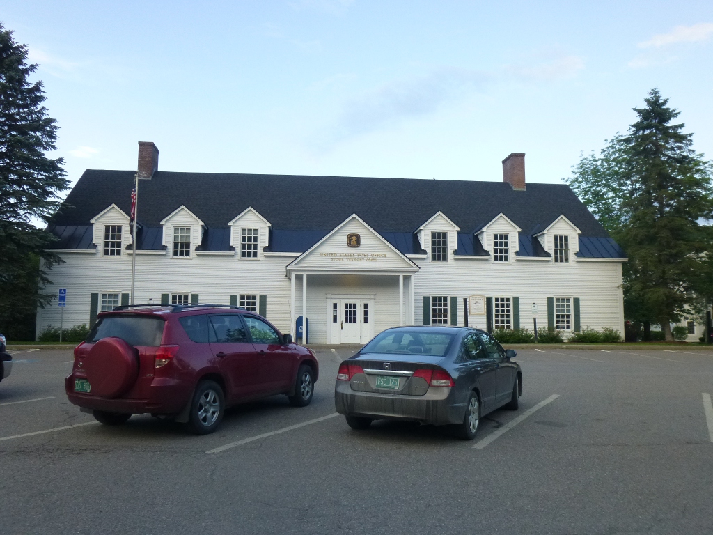 It
didn’t storm
last night; it did rain, however, and the
outside of the tent was
still pretty soaking but we had taken the shade canopy down last night
while
it was mostly dry. John cooked pancakes this
morning
(yummy) and
he discovered he really likes the darker, grade B syrup. We
broke
camp around
10 AM and went to the laundromat, across the street from the Post
Office. I had to take a picture of the PO - it typifies what
one
sees around here: definitely not your ordinary post office!
And, the laundromat? Oh my, I
know this is an expensive area and it was a very NICE facility, but
that was
ridiculous! $12 to wash and $4 to
dry about 2 loads. But we now have clean and dry
clothes to last us a while. It
didn’t storm
last night; it did rain, however, and the
outside of the tent was
still pretty soaking but we had taken the shade canopy down last night
while
it was mostly dry. John cooked pancakes this
morning
(yummy) and
he discovered he really likes the darker, grade B syrup. We
broke
camp around
10 AM and went to the laundromat, across the street from the Post
Office. I had to take a picture of the PO - it typifies what
one
sees around here: definitely not your ordinary post office!
And, the laundromat? Oh my, I
know this is an expensive area and it was a very NICE facility, but
that was
ridiculous! $12 to wash and $4 to
dry about 2 loads. But we now have clean and dry
clothes to last us a while.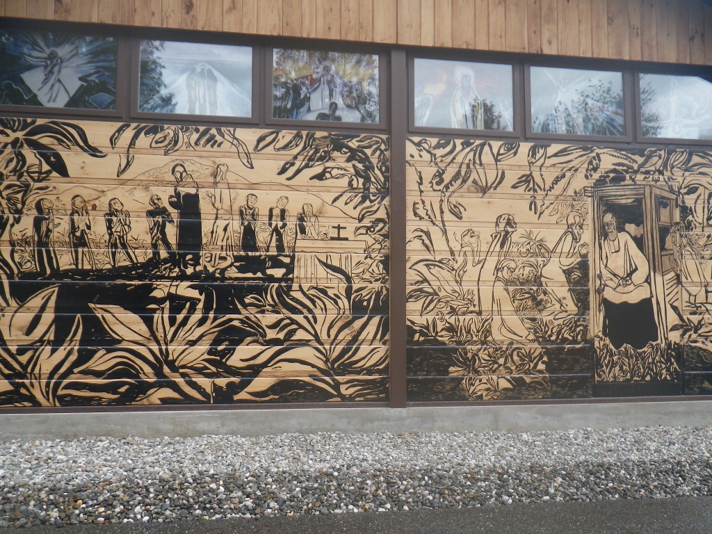 Next
we went to the Depot Street Malt Shop for lunch (grilled
chicken salad; cheeseburger and sweet potato fries) which was a fun
place to visit - it feels like a 50's era malt shop and also had good
food
and large portions. We had some time to kill since we
couldn't
check in at the B&B until after 3 so we took a drive out in the
country, stopped
at a Thrift Shop, found another covered bridge (Emily's Bridge) and
had some very good, but fairly expensive, ice cream at
IC Scoops. We ran across Blessed Sacrament Catholic Church
that
is covered with murals that depict the work of Brother Joseph Dutton
with lepers on the island of Molokai, Hawaii in the late 1800's.
The church was built on the site of the farm where Brother Dutton was
born. Next
we went to the Depot Street Malt Shop for lunch (grilled
chicken salad; cheeseburger and sweet potato fries) which was a fun
place to visit - it feels like a 50's era malt shop and also had good
food
and large portions. We had some time to kill since we
couldn't
check in at the B&B until after 3 so we took a drive out in the
country, stopped
at a Thrift Shop, found another covered bridge (Emily's Bridge) and
had some very good, but fairly expensive, ice cream at
IC Scoops. We ran across Blessed Sacrament Catholic Church
that
is covered with murals that depict the work of Brother Joseph Dutton
with lepers on the island of Molokai, Hawaii in the late 1800's.
The church was built on the site of the farm where Brother Dutton was
born. By then it was late enough to check in at the Auberge de Stowe B&B. We moved into town tonight because we're going to go see a musical downtown and didn't want to be driving back to camp along that very twisty, scary road late at night! The B&B was pretty much as expected, though I was a little put off by the "tip envelope" for housekeeping! Isn’t that part of ownership of a B&B? But the room is fine, the hosts friendly, the A/C kept the upstairs room cool even on a hot evening. There was one drawback that we didn't know about until morning - a small window that had no shade but was situated so that the sun was streaming right in my face at dawn! 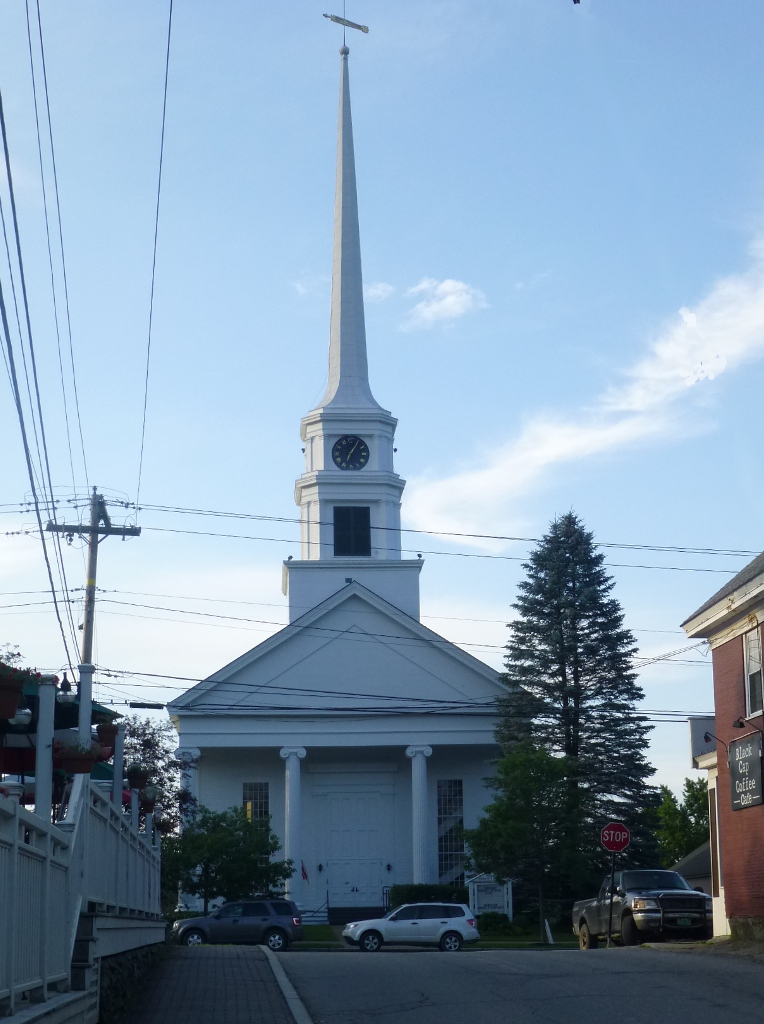 We
had supper at Frida’s – a very nice Mexican restaurant. We
ate
on the deck and I took this picture of the rather classic Stowe
Community Church just up the street. The staff at Frida's was
very accommodating - they changed some sauces for me since I can't deal
with very hot spices. The price was not unreasonable
- at
least until we added desserts, but that was our own doing! We
had
assorted tacos for dinner; for dessert John had an almond cake and I
had
flan. He also enjoyed a local beer - Gose: a lager
made with
coriander and sea salt, brewed by Lost Nations Brewing Company
in
neighboring Morrisville. We
had supper at Frida’s – a very nice Mexican restaurant. We
ate
on the deck and I took this picture of the rather classic Stowe
Community Church just up the street. The staff at Frida's was
very accommodating - they changed some sauces for me since I can't deal
with very hot spices. The price was not unreasonable
- at
least until we added desserts, but that was our own doing! We
had
assorted tacos for dinner; for dessert John had an almond cake and I
had
flan. He also enjoyed a local beer - Gose: a lager
made with
coriander and sea salt, brewed by Lost Nations Brewing Company
in
neighboring Morrisville.We went to see the musical "Nine" performed by the Stowe Theater Guild. It was an excellent performance but neither of us liked the musical very much, which is probably why we had not heard of it before. Thursday July 4: Breakfast at the Auberge was very good – yummy croissants (which I shouldn’t have eaten but I did - there was butter and jam…); an egg casserole and rhubarb crisp. Great start to the day! 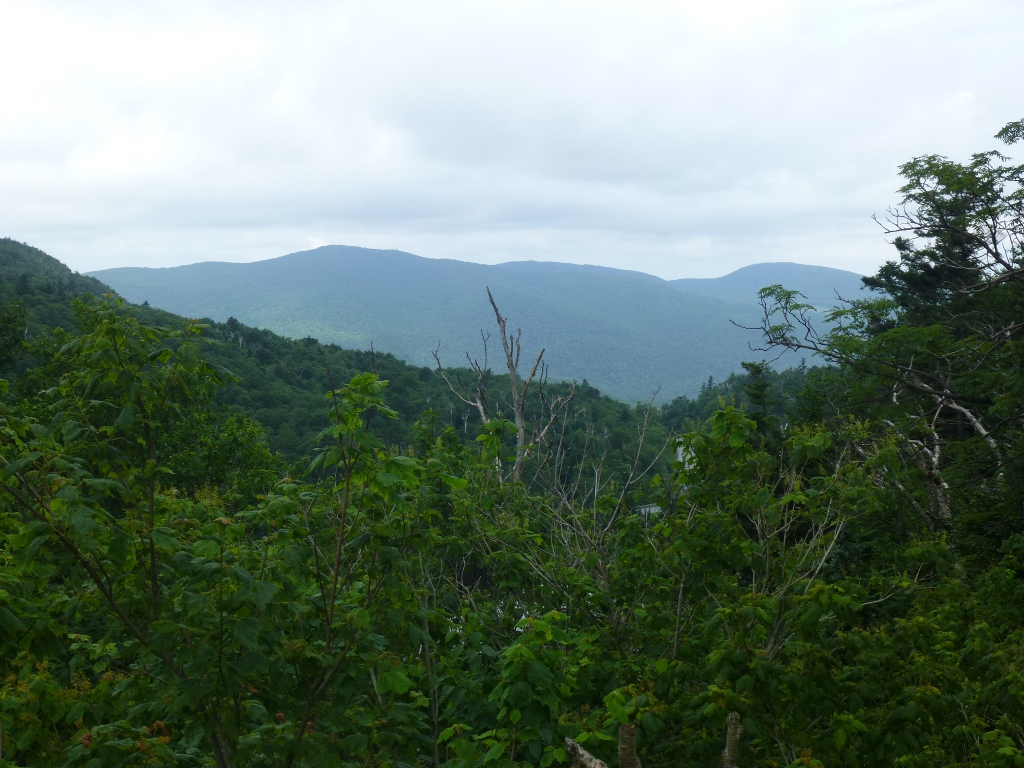 We
left around 9:30 AM and decided to visit some more waterfalls on the
way down to Branbury State Park. The directions for the
first place we tried, Bolton
Potholes, said to turn on Bolton Valley Access Rd and park on
the
shoulder. The right side now has guard rails right by the
road,
so there is no shoulder, and the other side was posted "No
parking." We could see cascades from the road but
there was no place to safely park so we didn’t get out
and mess around. We
left around 9:30 AM and decided to visit some more waterfalls on the
way down to Branbury State Park. The directions for the
first place we tried, Bolton
Potholes, said to turn on Bolton Valley Access Rd and park on
the
shoulder. The right side now has guard rails right by the
road,
so there is no shoulder, and the other side was posted "No
parking." We could see cascades from the road but
there was no place to safely park so we didn’t get out
and mess around. 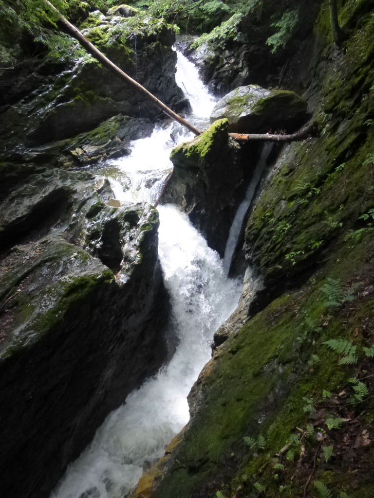 [According to the New England Waterfalls
website, which I checked after the fact, there is now a parking area at
the base of the Access Road. I believe we saw such a place,
but
its location would have required a half mile or so hike UP to where the
falls and cascades were so we just skipped it.] On
the way
from Bolton down to Bristol, we drove through the Appalachian
Gap - one of the many points where the Long Trail crosses a
major
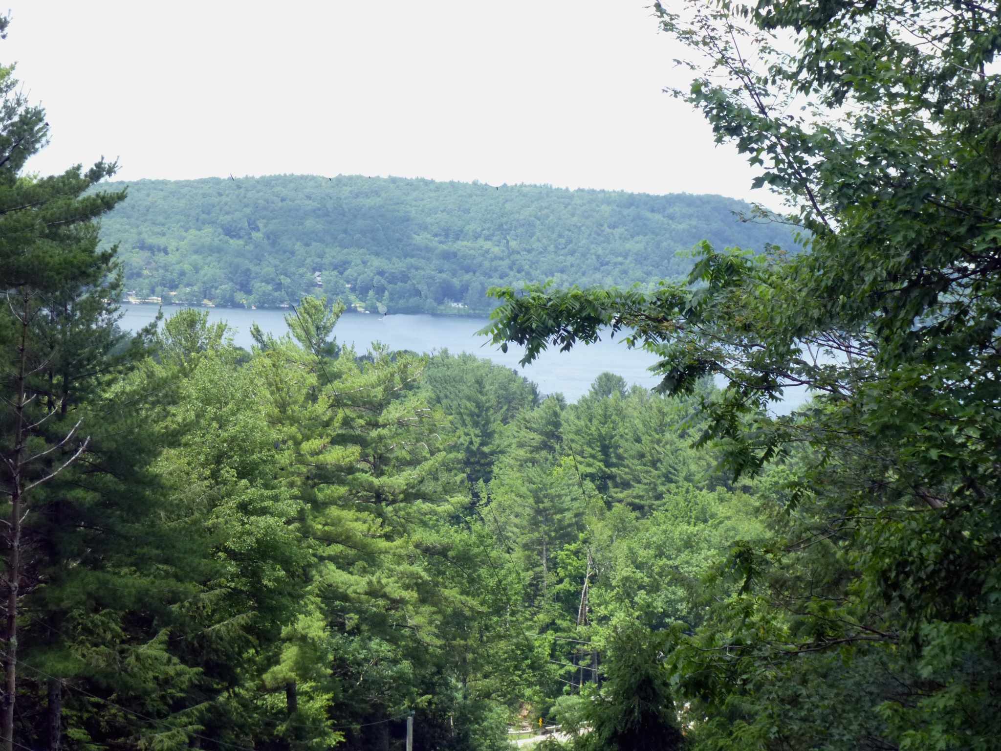
road. We stopped to enjoy some of the views (picture at
right). [According to the New England Waterfalls
website, which I checked after the fact, there is now a parking area at
the base of the Access Road. I believe we saw such a place,
but
its location would have required a half mile or so hike UP to where the
falls and cascades were so we just skipped it.] On
the way
from Bolton down to Bristol, we drove through the Appalachian
Gap - one of the many points where the Long Trail crosses a
major
road. We stopped to enjoy some of the views (picture at
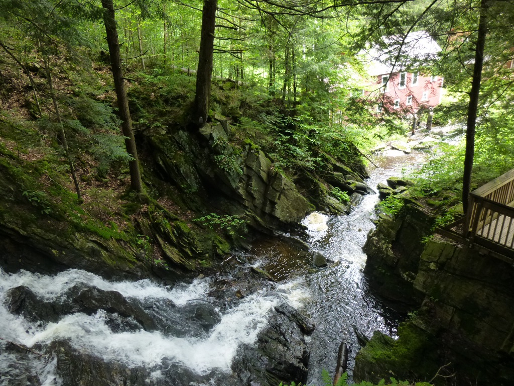
right).Our next stop was Bristol Memorial Park Falls – well marked and easy access. We hiked down the trail and then took a long wooden staircase to a bridge. There were good views of the waterfall from the bridge (left). Following the trail, we walked all around the falls for additional views. Below is a closer view of the upper part of the falls and then another perspective, looking down from the bridge to Baldwin Creek below the falls.
Next we crossed the bridge and headed
up Rattlesnake Cliff Trail. We had been told that one of the
viewpoints at the cliff top was blocked off due to Peregrine Falcons
fledging but the
other was still open. When we got back we were soaking so we changed into swim wear, jumped in the lake and got cooled off quickly! It was quite nippy getting in but not bad after we got used to it. But about that time, thunder and lightning started so everyone was herded out of the water. We went to the showers which were WAY too hot with no way to control the temperature - I'm sure a child would have been scalded. By the time I got out and dry, the heavens opened and it was torrentially raining! I had my poncho and umbrella so I could get back to the camp site pretty easily. I then drove down and picked up John (who hadn't thought to take rain gear to the shower) and we read and napped in the car until it rained itself out. It was a very hard downpour for a long time. If we return to this camp, or one like it, I think it would be worth the extra fee to get a Lean-to site. As I read about them, it didn't seem that a 3-sided structure would be particularly beneficial. But, after 3 nights of rain, I changed my mind! They do offer quite a bit of protection and the tent floor wouldn't have been soaked. Around 4:30 John got out food, put the beef in a marinade and it started raining again! We gave up, put the meat back in the cooler and drove up to Middlebury in a downpour (again) to Rosie’s where we had a very good meal, good service, good food, reasonable prices. Much better deal! After supper we stopped at the Hannaford Grocery to restock; and still got back to Salisbury in time for a chamber music concert at Salisbury Congregational Church. The performers were faculty members at the Point-Counterpoint Music Camp along the lake. It was very, very good, though quite hot and stuffy in the small church (they handed out fans). They performed Brahms Piano Trio in B major, opus 8 and Beethoven String Quartet in F minor, Opus 95 and their standing ovation was well-earned. Saturday July 6
Sunday July 7 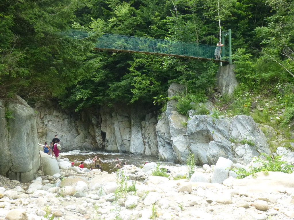 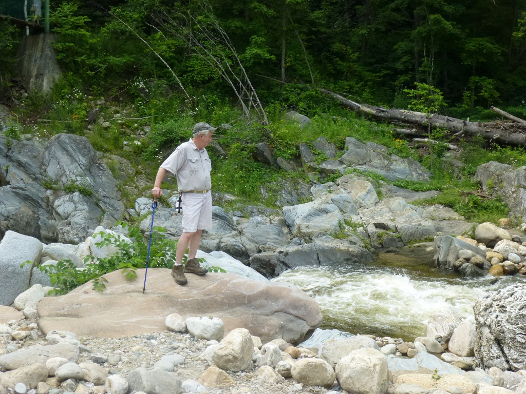
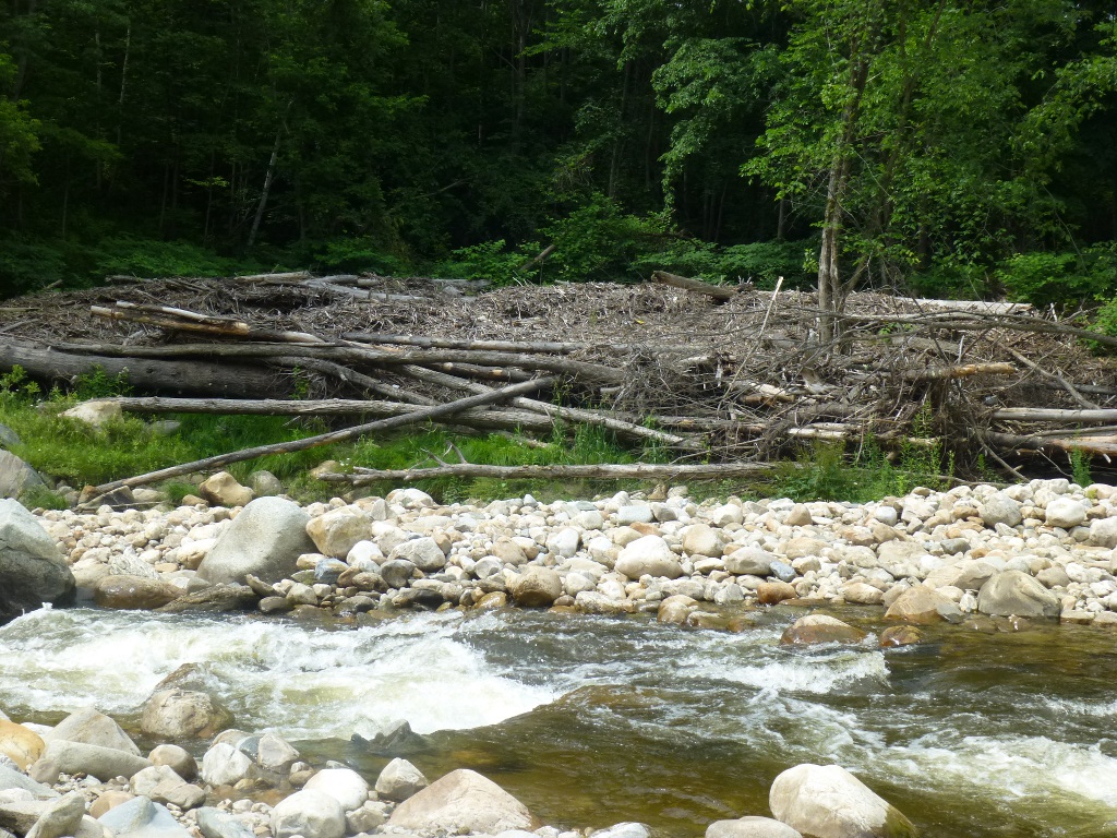
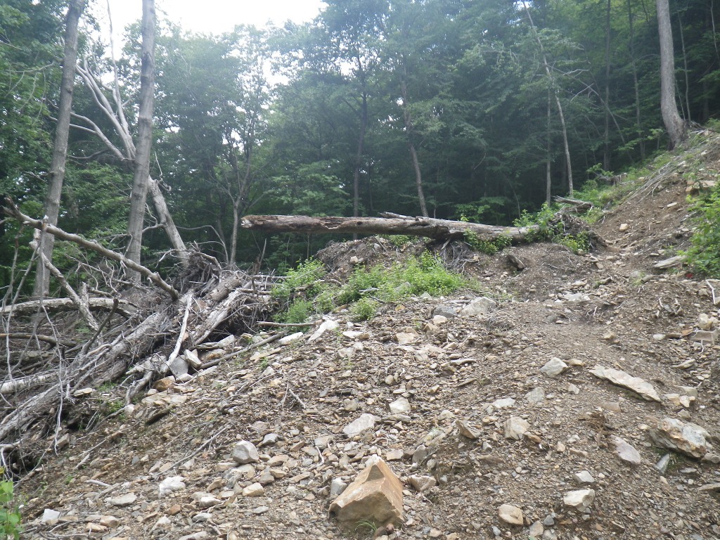
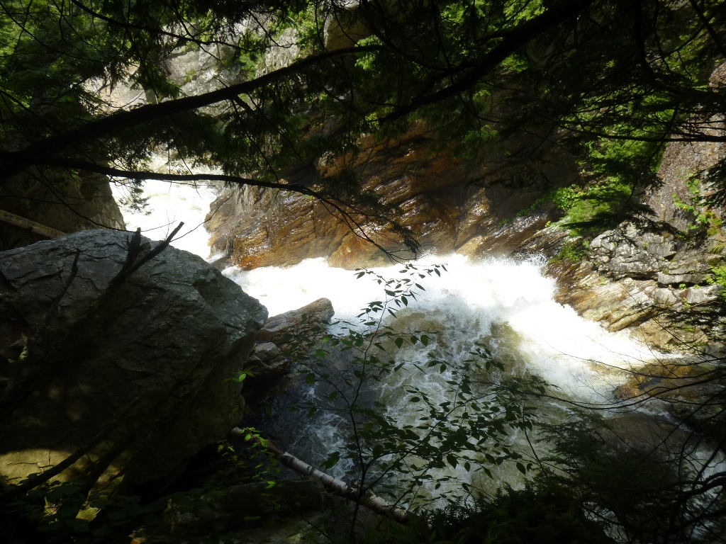
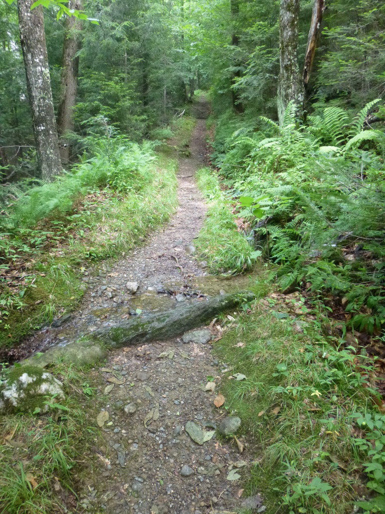
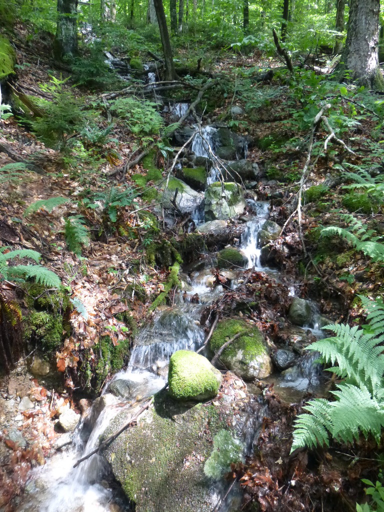
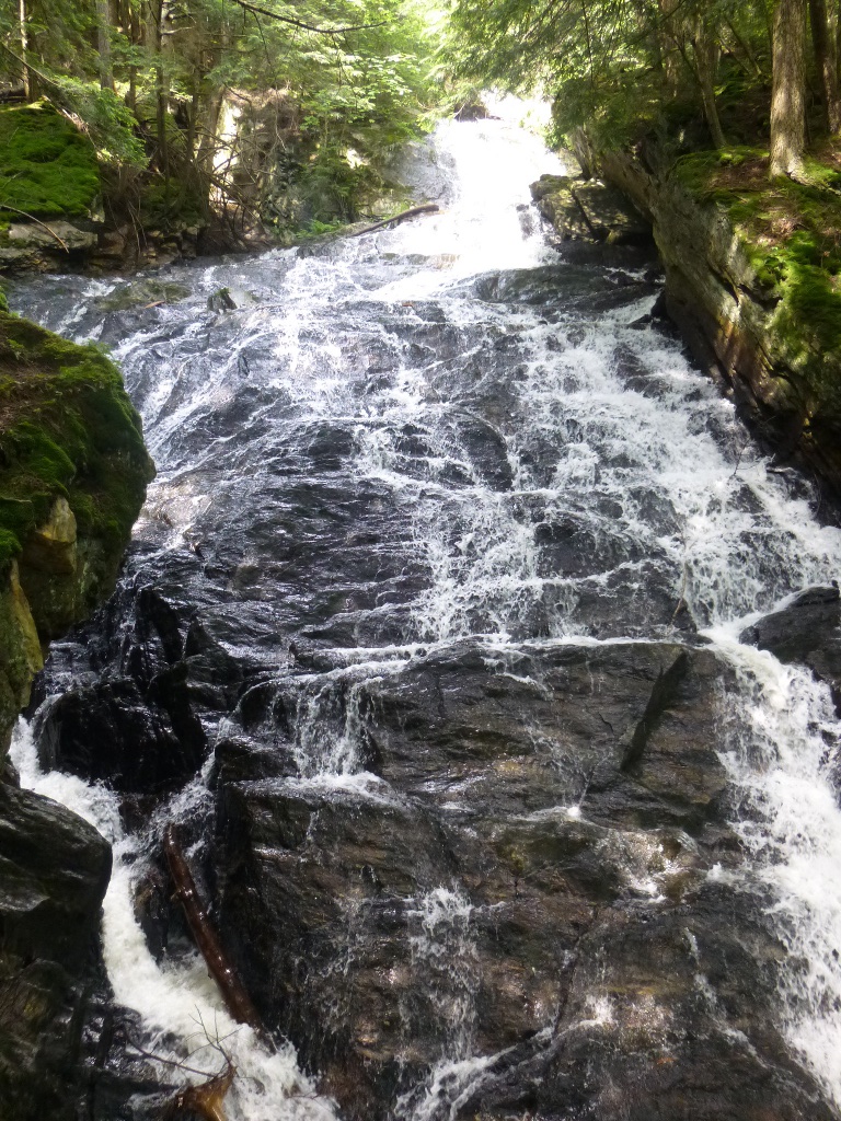
This was a great hike – about 2.5 miles (each way). It starts out easy; then there’s a short rocky, slightly uphill part. If this makes you gasp, forget it and don’t even try. In the middle is about a mile and a half of uphill. It varies from muddy to rocky to "stream-like." Now remember, it has rained every day for about a month as far as I can tell. So it probably isn’t always like this. But parts of the trail were literally a brook! It took us about 1.5 hours to get up there. There’s a landslide not far before the falls (left over from Hurricane Irene) but by now there is a pretty obvious trail through/around it. From left to right: John crossing Lye Brook; a section we passed along the trail that looks very jungle-like and John said that's what the shower in our next house should look like! Finally, the landslide from 2011. 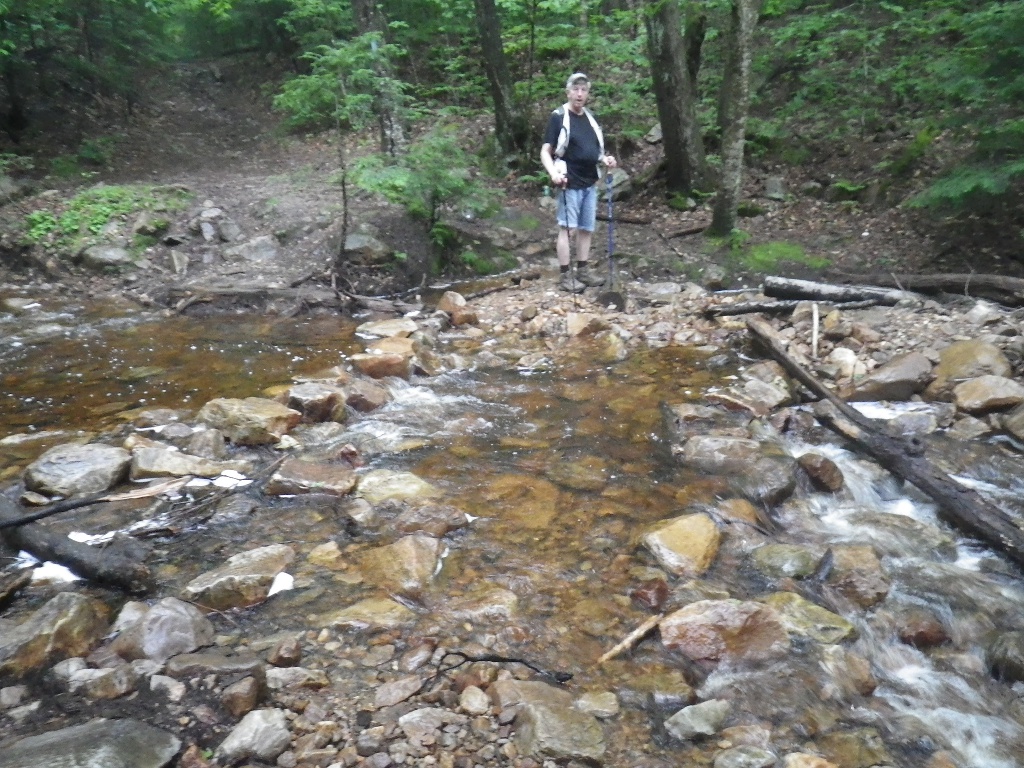

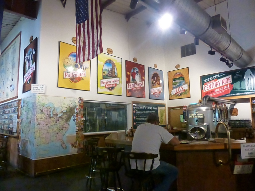
The next stop was the Long Trail Brewery (pictured right, above - we added a pin for Evansdale on the map) which was right on the way. It was my turn to drive so John had a sampler of some of their beers. He was not especially impressed; of the beers, he liked the Traditional IPA best. But he also found a hiking cap that fit his head - he was much more excited about that!
Finally, our last stop in Vermont. We got off the highway in Fairlee (near Lake Morey) and hiked the half a mile or so to Glen Falls. That was a very nice hike (cool in the woods) and we enjoyed the falls. The top part (left) was lots of tumbles and then it goes through a gorge and plunges into a lovely pool (right). A great "last Vermont waterfall!" From there we continued north on I-91 and then made our way over to Franconia, New Hampshire where the trip continues in Part 3!
Click here
to go on to Part 3 of our trip.
|




 I relaxed
with iced water, typing up the log, reading and
enjoying the cute little chipmunk that is playing around looking for a
handout.
I relaxed
with iced water, typing up the log, reading and
enjoying the cute little chipmunk that is playing around looking for a
handout.








 Well, John had a grilled cheese sandwich, too and we shared
some
fries. Then we went across the parking lot to the Putney
Mountain
Winery where he did some wine tasting and bought 2 bottles.
Well, John had a grilled cheese sandwich, too and we shared
some
fries. Then we went across the parking lot to the Putney
Mountain
Winery where he did some wine tasting and bought 2 bottles.